Hingham Center in Plymouth County, Massachusetts — The American Northeast (New England)
Hingham Center Training Field
The Playne
Photographed by G.W.Bartlett, April 13, 2026
1. Hingham Town Center Training Field Marker
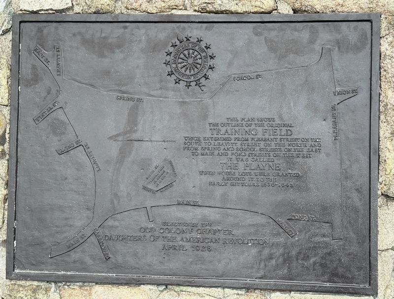
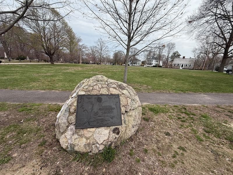
This plan shows the outline of the original Training Field which extended from Pleasant Street on the South to Leavitt Street on the North and from Spring and School Streets on the East to Main and Pond Streets on the West. It was called The Playne when house lots were granted around it to the early settlers 1636-1645.
Erected 1928 by Old Colony Chapter Daughters of the American Revolution.
Topics. This historical marker is listed in these topic lists: Colonial Era • Settlements & Settlers. A significant historical year for this entry is 1636.
Location. 42° 13.962′ N, 70° 52.778′ W. Marker is in Hingham, Massachusetts, in Plymouth County. It is in Hingham Center. It is at the intersection of Short Street (Massachusetts Route 228) and Middle Street, on the right when traveling north on Short Street. Touch for map. Marker is at or near this postal address: 298 Main St, Hingham MA 02043, United States of America. Touch for directions.

Regionally, this marker is on the South Shore. It is also in the American Northeast, in New England, and on the Eastern Seaboard. Globally, it is in the North Atlantic Region,
this page online
Other nearby markers. At least 8 other markers are within walking distance of this marker: Vietnam War (within shouting distance of this marker); In Memoriam to Hingham’s War Dead (within shouting distance of this marker); These Trees and This Stone (within shouting distance of this marker); Korean War (within shouting distance of this marker); Almshouse (about 400 feet away, measured in a direct line); Buttonwood Tree (about 400 feet away); Second Almshouse (approx. 0.2 miles away); Great Abolitionist Pic Nic of 1844 (approx. 0.6 miles away). Touch for a list and map of all markers in Hingham.
Regarding Hingham Center Training Field. The small plan insert shows much-reduced "Training Field or Common as it now is" bordered by School Street, Short Street, Middle Street, and Common Street.
Photographed by G.W.Bartlett, April 13, 2026
2. Hingham Town Center Training Field Marker
Credits. This page was last revised on May 11, 2026. It was originally submitted on April 13, 2026, by G.W.Bartlett of Hingham, Massachusetts. This page has been viewed 40 times since then. Last updated on May 9, 2026, by G.W.Bartlett of Hingham, Massachusetts. Photos: 1, 2. submitted on April 13, 2026, by G.W.Bartlett of Hingham, Massachusetts. • Devry Becker Jones was the editor who published this page.
