Tangier in Accomack County, Virginia — The American South (Mid-Atlantic)
Puge's & County Dock
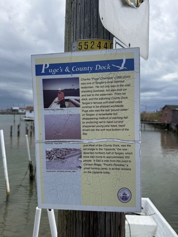
Charles "Puge" Charnock (1936-2003) was one of Tangier's most beloved watermen. He not only was in the crab shedding business, but also sold ice and bait to the watermen. From his dock, and the adjoining County Dock, Tangier's famous shell crabs continue to be shipped worldwide. Puge also was the last "pound netter" on Tangier, a remarkable but disappearing method of catching fish by anchoring net to hand cut and sharpened young pine trees, hand driven into the soft mud bottom of the Bay.
Just West of the County Dock, was the old bridge to the "Uppards," the now deserted northern half of Tangier, which once was home to approximately 500 people. It was a mile from this point to Canaan Ridge. "Pruitt's Paradise," a small hunting camp, is all that remains on the Uppards today.
Erected by Tangier History Museum & Interpretive Cultural Center.
Topics and series. This historical marker is listed in these topic lists: Animals • Bridges & Viaducts • Industry & Commerce • Waterways & Vessels. In addition, it is included in the Virginia, Tangier History Museum & Interpretive Cultural Center series list.
Location. 37° 49.761′ N,
this page online

Regionally, this marker is on the Eastern Shore. It is also in the American South, specifically in the Upper South, on the Delmarva Peninsula, in the Tidewater, and on the Eastern Seaboard. Globally, it is in the North Atlantic Region, North America, the Western Hemisphere, the Western World, and the Anglosphere. Historically, it finds itself in what was once the territory of the Mississippian Culture, one of the original Thirteen Colonies, one of the Confederate States of America, and the Antebellum South.
Other nearby markers. At least 8 other markers are within walking distance of this marker: Welcome to Historic Tangier Island (a few steps from this marker); Methodist Parsonage (within shouting distance of this marker); Chambers Lane (within shouting distance of this marker); Fisherman's Corner (within shouting distance of this marker); Daley's Grocery (within shouting distance of this marker); Parks Marina (about 300 feet away, measured in a direct line); The Peter Williams House (about 300 feet away); a different marker also named Welcome to Historic Tangier Island (about 400 feet away). Touch for a list and map of all markers in Tangier.
Other markers no longer nearby. Welcome to Historic Tangier Island (was a few steps from this marker but has been replaced with another marker now near it); a different marker also named Welcome to Historic Tangier Island (was about 400 feet away but has been replaced with another marker now near it).
Credits. This page was last revised on May 9, 2026. It was originally submitted on May 9, 2026, by Devry Becker Jones of Washington, District of Columbia. This page has been viewed 20 times since then. Photo 1. submitted on May 9, 2026, by Devry Becker Jones of Washington, District of Columbia.
Editor’s want-list for this marker. A wide shot of the marker in context. • Can you help?
