Davidson in Mecklenburg County, North Carolina — The American South (South Atlantic)
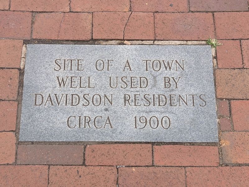
Davidson Town Well
Photographed by Mark Parker, May 9, 2026
1. Davidson Town Well Marker
Circa 1900
Topics. This historical marker is listed in this topic list: Man-Made Features. A significant historical year for this entry is 1900.
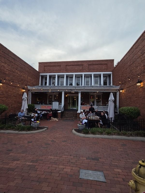
Location. 35° 29.962′ N, 80° 50.911′ W. Marker is in Davidson, North Carolina, in Mecklenburg County. It is at the intersection of North Main Street (North Carolina Route 115) and Concord Road, on the right when traveling south on North Main Street. Location marker is at ground level in front of Masala Mastee restaurant. Touch for map. Marker is at or near this postal address: 107 N Main Street, Davidson NC 28036, United States of America. Touch for directions.

Regionally, this marker is in the Piedmont and in Greater Charlotte. It is also in the American South and specifically in the Upper South. Globally, it is in North America, the Western Hemisphere, the Western World, and the Anglosphere. Historically, it finds itself in what was once the territory of the Mississippian Culture, one of the original Thirteen Colonies, one of the Confederate States of America, and the Antebellum South.
Other nearby markers. At least
this page online
Photographed by Mark Parker, May 9, 2026
2. Davidson Town Well Marker at Masala Mastee restaurant
Credits. This page was last revised on May 29, 2026. It was originally submitted on May 12, 2026, by Mark Parker of Hickory, North Carolina. This page has been viewed 20 times since then. Photos: 1, 2. submitted on May 12, 2026, by Mark Parker of Hickory, North Carolina. • Andrew Ruppenstein was the editor who published this page.
