Guilford Center in South Central Region, Connecticut — The American Northeast (New England)
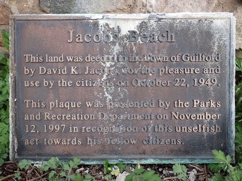
Jacobs Beach
Photographed by Conrad Ward, April 29, 2025
1. Jacobs Beach Marker
This land was deeded to the Town of Guilford by David K. Jacobs, for the pleasure and use by the citizens on October 22, 1949.
This plaque was presented by the Parks and Recreation Department on November 12, 1997 in recognition of this unselfish act towards his fellow citizens.
Erected 1997 by Guilford Parks and Recreation Department.
Topics. This historical marker is listed in these topic lists: Charity & Public Work • Parks & Recreational Areas. A significant historical date for this entry is October 22, 1949.
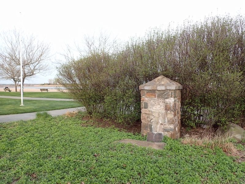
Location. 41° 16.081′ N, 72° 40.152′ W. Marker is in Guilford in South Central Region, Connecticut. It is in Guilford Center. It is on Seaside Avenue north of Rock Point Lane, on the left when traveling south. Touch for map. Marker is at or near this postal address: 140 Seaside Ave, Guilford CT 06437, United States of America. Touch for directions.

Regionally, this marker is in the Connecticut River Valley, on the Connecticut Shoreline, and in Greater New Haven. It is also in the American Northeast, in New England, and on the Eastern Seaboard. Globally, it is in the North Atlantic Region, North America,
this page online
Other nearby markers. At least 8 other markers are within walking distance of this marker: The State Street School House (approx. 0.2 miles away); Faulkner's Island (approx. 0.3 miles away); Tribute to Freedom (approx. 0.3 miles away); Beecher House (approx. 0.3 miles away); Len Hubbard Municipal Marina (approx. 0.4 miles away); The Little Red Shack of Grass Island (approx. 0.4 miles away); Harmon B. Johnson (approx. 0.6 miles away); Railroads in Guilford (approx. 0.6 miles away). Touch for a list and map of all markers in Guilford.
Photographed by Conrad Ward, April 29, 2025
2. Jacobs Beach Marker
Credits. This page was last revised on May 19, 2026. It was originally submitted on May 9, 2026, by Conrad Ward of Guilford, Connecticut. This page has been viewed 14 times since then. Last updated on May 13, 2026, by Conrad Ward of Guilford, Connecticut. Photos: 1, 2. submitted on May 9, 2026, by Conrad Ward of Guilford, Connecticut. • Devry Becker Jones was the editor who published this page.
