Crowley in Tarrant County, Texas — The American South (West South Central)
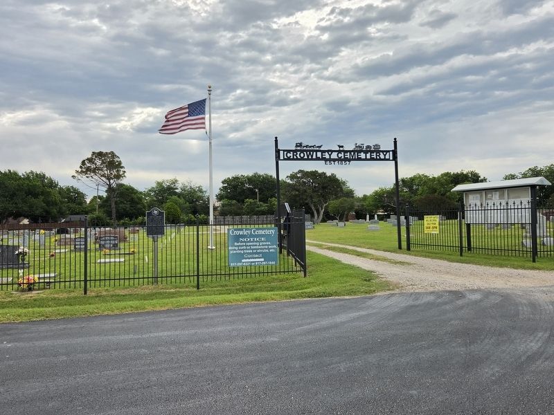
Crowley Cemetery

Photographed by James Hulse, May 15, 2026
1. Crowley Cemetery Marker
This burial ground originally served the early settlers of the Deer Creek area who began moving here about 1848. The earliest marked grave is that of Thomas D. Stephenson (1848-57), the eight-year-old son of I. N. Stephenson (d. 1883) who came to Tarrant County in the 1850s. The property was deeded for use as a public burial site in 1879 by Sarah J. “Sallie” Dunn. Originally known as Deer Creek Cemetery, the name was changed about 1880, shortly after the settlement of Crowley was organized along the route of the Gulf, Colorado & Santa Fe Railroad.
Erected 1980 by Texas Historical Commission. (Marker Number 1124.)
Topics. This historical marker is listed in this topic list: Cemeteries & Burial Sites. A significant historical year for this entry is 1848.
Location. 32° 34.914′ N, 97° 21.458′ W. Marker is in Crowley, Texas, in Tarrant County. It is on North Hampton Road 0.1 miles north of E Mustang Street, on the right when traveling north. Touch for map. Marker is at or near this postal address: 320 N Hampton Rd, Crowley TX 76036, United States of America. Touch for directions.

Regionally, this marker is in the Prairies
this page online
Other nearby markers. At least 8 other markers are within 4 miles of this marker, measured as the crow flies: First Presbyterian Church of Crowley (approx. 0.3 miles away); Haley's Meat Market (approx. 0.3 miles away); First Baptist Church of Crowley (approx. 1½ miles away); Grace Lutheran Church (approx. 3.2 miles away); First Baptist Church (approx. 3.3 miles away); Baggage Cart (approx. 3.4 miles away); Named in Honor of Vera Calvin (approx. 3.4 miles away); The Interurban in Burleson (approx. 3.4 miles away). Touch for a list and map of all markers in Crowley.
Photographed by James Hulse, May 15, 2026
2. Crowley Cemetery Marker
Credits. This page was last revised on May 16, 2026. It was originally submitted on May 15, 2026, by James Hulse of Medina, Texas. This page has been viewed 24 times since then. Photos: 1, 2. submitted on May 16, 2026, by James Hulse of Medina, Texas.
