Near Annona in Red River County, Texas — The American South (West South Central)
Garland Cemetery
Photographed by Duane and Tracy Marsteller, May 1, 2026
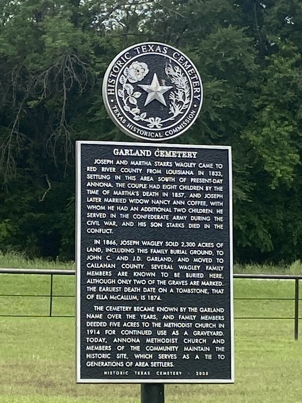
1. Garland Cemetery Marker
In 1866, Joseph Wagley sold 2,300 acres of land, including this family burial ground, to John C. and J.D. Garland, and moved to Callahan County. Several Wagley family members are known to be buried here, although only two of the graves are marked. The earliest death date on a tombstone, that of Ella McCallum, is 1874.
The cemetery became known by the Garland name over the years, and family members deeded five acres to the Methodist church in 1914 for continued use as a graveyard. Today, Annona Methodist Church and members of the community maintain the historic site, which serves as a tie to generations of area settlers. Historic Texas Cemetery - 2005
Erected 2005 by Texas Historical Commission. (Marker Number 13789.)
Topics.
this page online
Location. 33° 33.171′ N, 94° 54.222′ W. Marker is near Annona, Texas, in Red River County. It is on Farm to Market 44 0.1 miles north of Creek 4220, on the right when traveling north. Touch for map. Marker is at or near this postal address: 3789 FM 44, Annona TX 75550, United States of America. Touch for directions.

Regionally, this marker is in the American South and in the Piney Woods. Globally, it is in North America, a Gulf of Mexico state, the Western Hemisphere, the Western World, and the Anglosphere. Historically, it finds itself in what was once New Spain, the Republic of Texas, one of the Confederate States of America, and the Antebellum South.
Other nearby markers. At least 8 other markers are within 10 miles of this marker, measured as the crow flies: Warthan Cemetery (approx. 2.8 miles away); Savannah Cemetery (approx. 3.1 miles away); James Titus – Andrew Jackson Titus (approx. 3.1 miles away); English Cemetery (approx. 5.4 miles away); Salem Baptist Church
Photographed by Duane and Tracy Marsteller, May 1, 2026
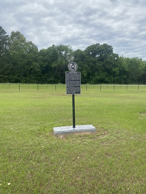
2. Garland Cemetery Marker
Also see . . . Garland Cemetery. Find a Grave entry for the burial ground. (Submitted on May 17, 2026, by Duane and Tracy Marsteller of Murfreesboro, Tennessee.)
Photographed by Duane and Tracy Marsteller, May 1, 2026
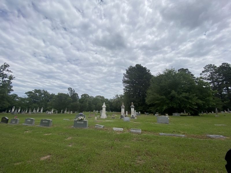
3. Garland Cemetery
Credits. This page was last revised on May 20, 2026. It was originally submitted on May 16, 2026, by Duane and Tracy Marsteller of Murfreesboro, Tennessee. This page has been viewed 27 times since then. Photos: 1, 2. submitted on May 16, 2026, by Duane and Tracy Marsteller of Murfreesboro, Tennessee. 3. submitted on May 20, 2026, by Duane and Tracy Marsteller of Murfreesboro, Tennessee.
