
Columbia in Monroe County, Illinois — The American Midwest (Great Lakes)
Adam’s Road Patrol #4
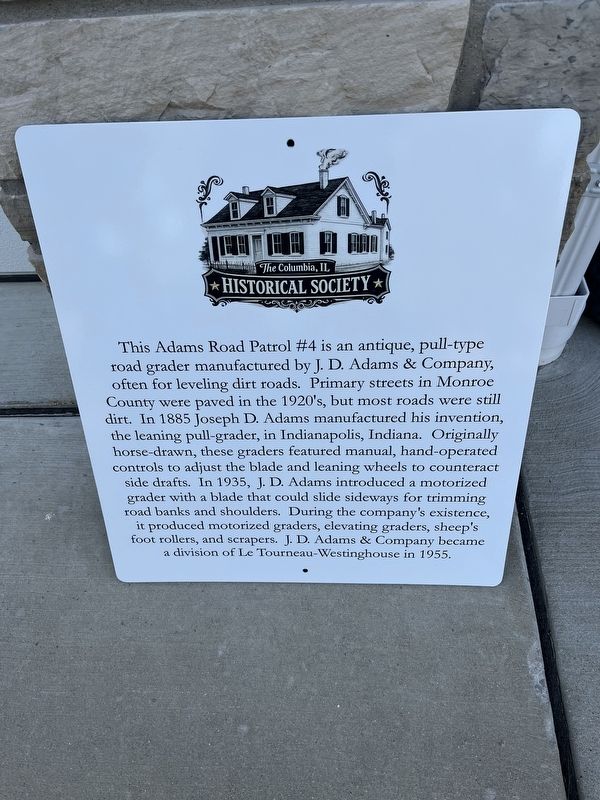
Photographed by Thomas Smith, May 12, 2026
1. Adam’s Road Patrol / 4 Marker
Topics. This historical marker is listed in these topic lists: Industry & Commerce • Roads & Vehicles. A significant historical year for this entry is 1885.
Location. 38° 27.021′ N, 90° 13.746′ W. Marker is in Columbia, Illinois, in Monroe County. It can be reached from Bluff Road (County Road 6) just south of Old Bluff Road, on the right
this page online

Regionally, this marker is in Greater St. Louis. It is also in the American Midwest, in the Lewis & Clark Corridor, in the Corn Belt, and in the Great River Road Region. Globally, it is in North America, the Western Hemisphere, the Western World, and the Anglosphere. Historically, it finds itself in what was once the territory of the Mississippian Culture and also the Northwest Territory.
Other nearby markers. At least 8 other markers are within walking distance of this marker: The Kaskaskia-Cahokia Trail (about 300 feet away, measured in a direct line); Piggot's Fort Great Run (about 300 feet away); Fort Piggott / Land Grants / Piggotts Ferry (about 800 feet away); Sand Bank School (approx. ¾ mile away); American Freedom Fighter and Palestinian Girl (approx. ¾ mile away); Admiral Carlisle A. H. Trost (approx. 0.9 miles away); Admiral John P. Weinel (approx. 0.9 miles away); Admiral Memorial Circle (approx. 0.9 miles away). Touch for a list and map of all markers
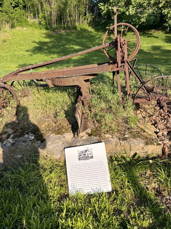
Photographed by Thomas Smith, May 15, 2026
2. Adam’s Road Patrol #4 Marker
Credits. This page was last revised on May 26, 2026. It was originally submitted on May 16, 2026, by Thomas Smith of Waterloo, Ill. This page has been viewed 29 times since then. Photos: 1. submitted on May 16, 2026, by Thomas Smith of Waterloo, Ill. 2. submitted on May 25, 2026, by Thomas Smith of Waterloo, Ill. • Devry Becker Jones was the editor who published this page.
