THE HISTORICAL
MARKER DATABASE
“Bite-Size Bits of Local, National, and Global History”
Near Belle River in Essex County, Ontario — Central Canada (North America)
 

Puce River Black Community
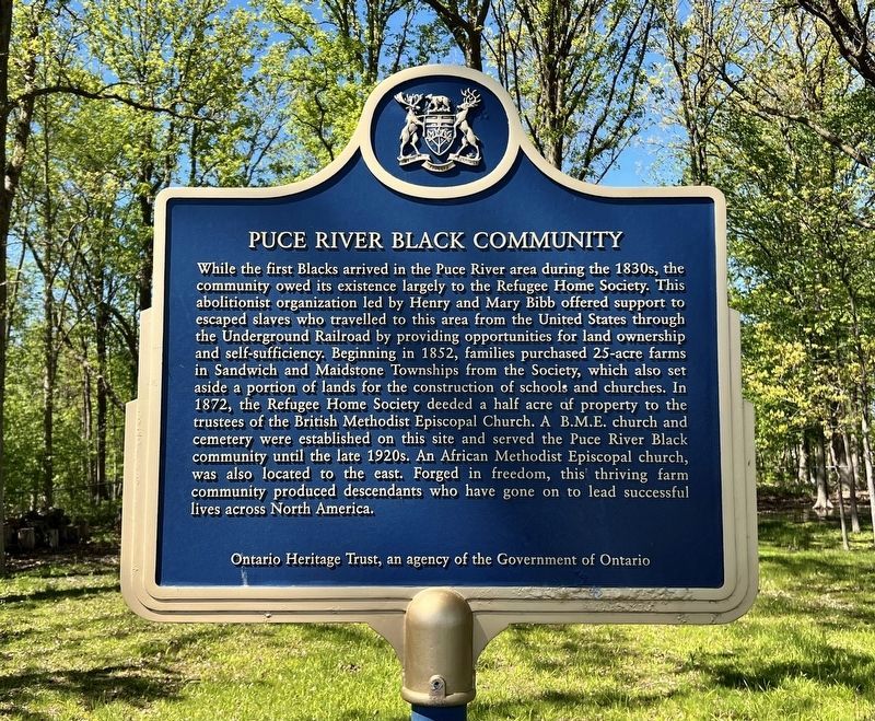
 
 
Puce River Black Community Marker image. Click for full size.
Photographed by Tim Boyd, May 14, 2026
1. Puce River Black Community Marker
Inscription. While the first Blacks arrived in the Puce River area during the 1830s, the community owed its existence largely to the Refugee Home Society. This abolitionist organization led by Henry and Mary Bibb offered support to escaped slaves who travelled to this area from the United States through the Underground Railroad by providing opportunities for land ownership and self-sufficiency. Beginning in 1852, families purchased 25-acre farms in Sandwich and Maidstone Townships from the Society, which also set aside a portion of lands for the construction of schools and churches. In 1872, the Refugee Home Society deeded a half acre of property to the trustees of the British Methodist Episcopal Church. A B.M.E. church and cemetery were established on this site and served the Puce River Black community until the late 1920s. An African Methodist Episcopal church, was also located to the east. Forged in freedom, this thriving farm community produced descendants who have gone on to lead successful lives across North America.
 
Erected by Ontario Heritage Trust.
 
Topics and series. This historical marker is listed in these topic
Paid Advertisement
Click or scan to see
this page online
lists: Abolition & Underground RR • African Americans • Charity & Public Work • Settlements & Settlers. In addition, it is included in the Canada, Ontario Heritage Trust series list. A significant historical year for this entry is 1852.
 
Location. 42° 16.631′ N, 82° 46.61′ W. Marker is near Belle River, Ontario, in Essex County. It is on County Road 42 0.7 kilometers east of Puce Road, on the left when traveling east. Touch for map. Marker is at or near this postal address: 1022 County Road 42, Belle River ON N0R 1A0, Canada. Touch for directions.

Regionally, this marker is in the Southwest Ontario Area and in Southwestern Ontario. It is also in Central Canada. Globally, it is in North America, on the Great Lakes, in the Western Hemisphere, in the Western World, and in the Anglosphere. Historically, it finds itself in what was once a British colony, the Viceroyalty of New France, the Haudenosaunee (Iroquois) Confederacy, and Rupert’s Land.

Other nearby markers. At least 8 other markers are within 16 kilometers of this marker, measured as the crow flies: First Baptist Church, Puce / Première Église Baptiste de Puce
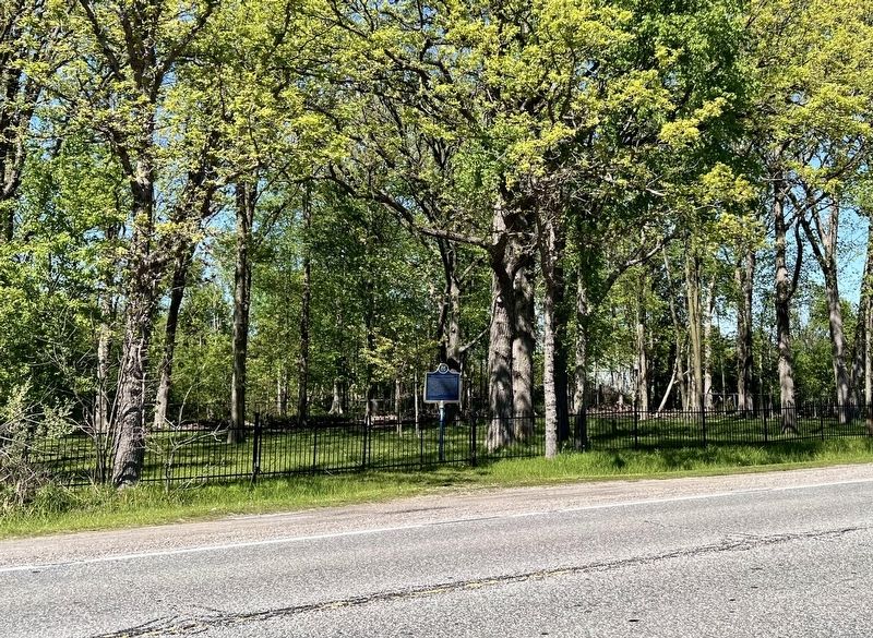
Puce River Black Community Marker image. Click for full size.
Photographed by Tim Boyd, May 14, 2026
2. Puce River Black Community Marker
(approx. 0.9 kilometers away); The Founding of Belle River / La Fondation de Belle-Rivière (approx. 5.6 kilometers away); The Banwell Road Area Black Settlement (approx. 9.8 kilometers away); Essex Terminal Railway Caboose (approx. 11.8 kilometers away); Essex Railway Station (approx. 11.8 kilometers away); Pelee Passage Lighthouse (approx. 14.4 kilometers away); Fox Indian Massacre (approx. 15.6 kilometers away in the U.S.); Russell A. Alger House "The Moorings" (approx. 15.8 kilometers away in the U.S.). Touch for a list and map of all markers in Belle River.
 
Also see . . .  Refugee Home Society (Wikipedia). <blockquote>The Refugee Home Society Settlement was a proposal by Henry Bibb, founder of the Voice of the Fugitive newspaper. The American Missionary Association supported the idea. Henry and Mary E. Bibb managed society activities. The Refugee Home Society Settlement was established in 1851 and supported by abolitionists in Michigan and Ontario. The money they raised was used to purchase 2,000 acres of land for settlement in Maidstone and Sandwich Township. Lots in the settlement were sold on easy terms. They
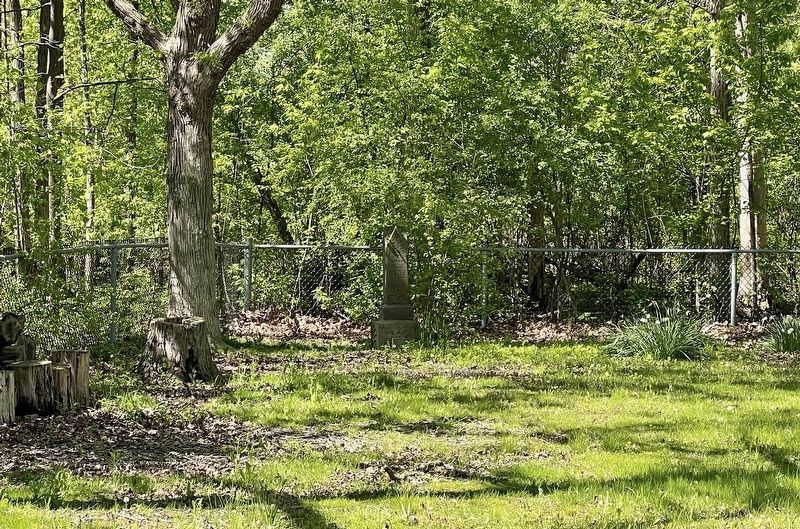
Remaining gravestone in the former cemetery image. Click for full size.
Photographed by Tim Boyd, May 14, 2026
3. Remaining gravestone in the former cemetery
provided necessary supplies, tools and training. They also offered protection from slave hunters, by being located 20 miles from Windsor. Mary Bibb established a school for children. (Submitted on May 17, 2026, by Tim Boyd of Hamilton, Ontario.) 
 
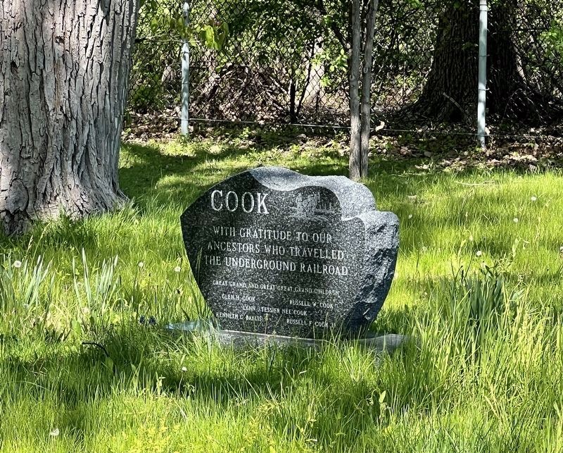
Memorial from descendants of settlers who came to Canada through the Underground Railroad image. Click for full size.
Photographed by Tim Boyd, May 14, 2026
4. Memorial from descendants of settlers who came to Canada through the Underground Railroad
 
 
Credits. This page was last revised on May 17, 2026. It was originally submitted on May 17, 2026, by Tim Boyd of Hamilton, Ontario. This page has been viewed 20 times since then. Photos:   1, 2, 3, 4. submitted on May 17, 2026, by Tim Boyd of Hamilton, Ontario. • Andrew Ruppenstein was the editor who published this page.

m=299913

CeraNet Cloud Computing sponsors the Historical Marker Database.
This website earns income from purchases you make after using our links to Amazon.com. We appreciate your support.
Paid Advertisement
Oct. 12, 2026