
Near Clarksville in Red River County, Texas — The American South (West South Central)
Stone's Chapel Cemetery
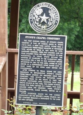
Photographed by Duane and Tracy Marsteller, May 1, 2026
1. Stone's Chapel Cemetery Marker
After coming to Texas, Stone led area residents in establishing Stone's Chapel Presbyterian Church on grounds near this cemetery, for which he donated land sometime prior to his death in 1862. The church continued until merging with Pine Grove Church in the 1950s. The Cherry School, named for early settler G.P. Cherry, was also located near the cemetery. There, Stone's granddaughter, Mable Gaines, served as a teacher.
Little evidence exists of the Cherry community or the Stone's Chapel Church, but the cemetery remains a testament to the lives of area
this page online
Erected 2003 by Texas Historical Commission. (Marker Number 13168.)
Topics. This historical marker is listed in these topic lists: Cemeteries & Burial Sites • Religion & Religious Structures • Settlements & Settlers. A significant historical year for this entry is 1857.
Location. 33° 39.588′ N, 95° 5.598′ W. Marker is near Clarksville, Texas, in Red River County. It can be reached from Farm to Market 2283 0.4 miles east of County Road 2123, on the right when traveling east. Touch for map. Marker is in this post office area: Clarksville TX 75426, United States of America. Touch for directions.

Regionally, this marker is in the American South and in the Piney Woods. Globally, it is in North America, a Gulf of Mexico state, the Western Hemisphere, the Western World, and the Anglosphere. Historically, it finds itself in what was once New Spain, the Republic of Texas, one of the Confederate States of America, and the Antebellum South.
Other nearby markers. At least 8 other markers are within 4 miles of this marker, measured as the crow flies: First Baptist Church of Clarksville (approx. 3 miles away);
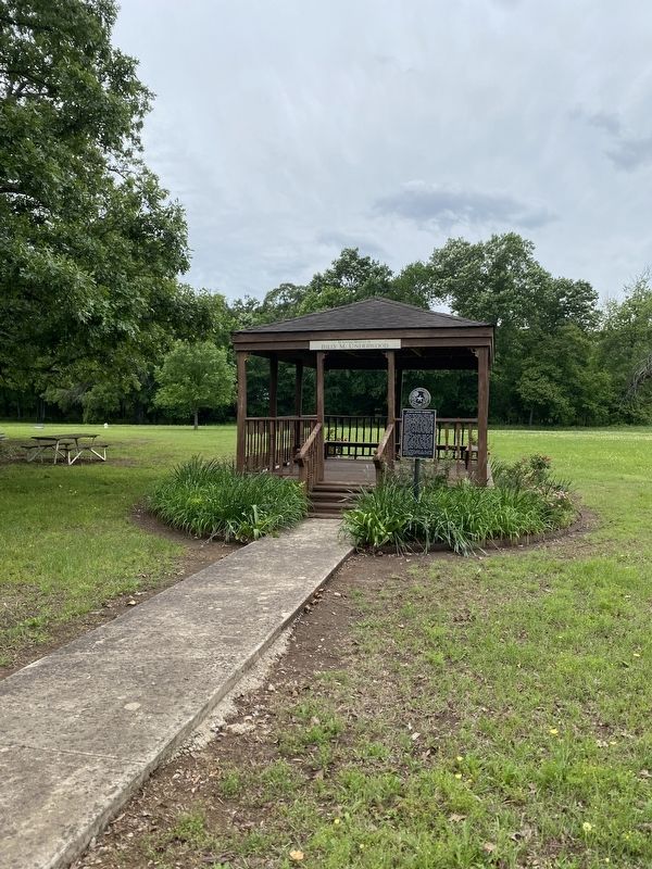
Photographed by Duane and Tracy Marsteller, May 1, 2026
2. Stone's Chapel Cemetery Marker
Also see . . .
1. Stone's Chapel Cemetery Association. Facebook page of the group, a non-profit association organized in 1976 and "dedicated to the purpose of providing perpetual care of the cemetery and a dignified final resting place for our loved ones." (Submitted on May 21, 2026, by Duane and Tracy Marsteller of Murfreesboro, Tennessee.)
2. Stones Chapel Cemetery. Find a Grave entry for the burial ground. Includes photos of grave markers, searchable database of burials and biographies of some individuals. (Submitted on May 21, 2026, by Duane and Tracy Marsteller of Murfreesboro, Tennessee.)
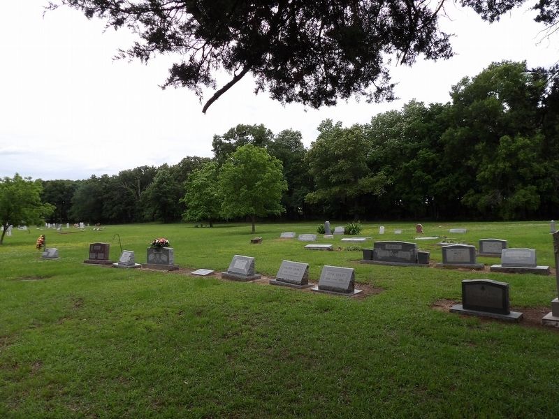
Photographed by Duane and Tracy Marsteller, May 1, 2026
3. Stone's Chapel Cemetery
Credits. This page was last revised on May 21, 2026. It was originally submitted on May 20, 2026, by Duane and Tracy Marsteller of Murfreesboro, Tennessee. This page has been viewed 20 times since then. Photos: 1, 2, 3. submitted on May 20, 2026, by Duane and Tracy Marsteller of Murfreesboro, Tennessee.
