
Near Yacht Cove in Lexington County, South Carolina — The American South (South Atlantic)
St. Michael Lutheran Church

Photographed by Steve Stoessel, May 9, 2026
1. St. Michael Lutheran Church Marker
St. Michael Lutheran Church organized in 1814 with members who came from nearby Zion and Bethel Churches. The desire to conduct services in the English language, rather than the German of early Dutch Fork settlers, led them to found this congregation. They first met in a schoolhouse at this site from 1813 to 1814 prior to building the first church. The first pastor was Rev. Godfrey Dreher.
The original church at this site was a blue wooden building, leading. St. Michael to long be known as "The Blue Church.” In 1824 a meeting was held at the church establishing the S.C. Lutheran Synod. The blue church was replaced in 1880. The third church on this site was a Carpenter Gothic Revival building constructed in 1921. It is still in use today.
Erected 2023 by South Carolina Department of Archives and History, sponsored by St. Michael Evangelical Church. (Marker Number 32-52.)
Topics. This historical marker is listed in these topic lists: Immigration • Religion & Religious Structures • Settlements & Settlers. A significant historical year for this entry is 1814.
Location. 34° 4.391′ N, 81° 14.437′ W. Marker is
this page online

Regionally, this marker is in the Midlands and in the Greater Columbia Area. It is also in the American South and specifically in the Deep South. Globally, it is in North America, the Western Hemisphere, the Western World, and the Anglosphere. Historically, it finds itself in what was once the territory of the Mississippian Culture, one of the original Thirteen Colonies, one of the Confederate States of America, and the Antebellum South.
Other nearby markers. At least 8 other markers are within 6 miles of this marker, measured as the crow flies: World War II Bombing Ranges (approx. 1.3 miles away); Lake Murray (approx. 1.3 miles away); Town of Irmo (approx. 3½ miles away); Bethlehem Church (approx. 3.8 miles away); Richlex School Site (approx. 3.8 miles away); Providence Church (approx. 4 miles
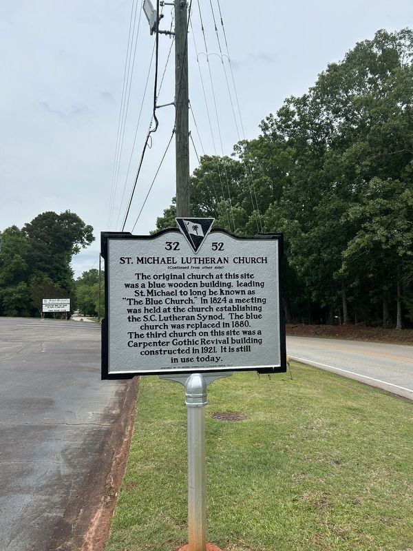
Photographed by Steve Stoessel, May 9, 2026
2. St. Michael Lutheran Church Marker
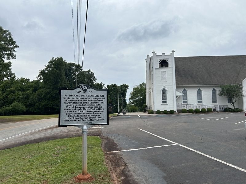
Photographed by Steve Stoessel, May 9, 2026
3. St. Michael Lutheran Church Marker
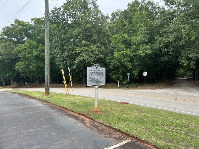
Photographed by Steve Stoessel, May 9, 2026
4. St. Michael Lutheran Church Marker
Credits. This page was last revised on May 25, 2026. It was originally submitted on May 20, 2026, by Steve Stoessel of Niskayuna, New York. This page has been viewed 16 times since then. Photos: 1, 2, 3, 4. submitted on May 20, 2026, by Steve Stoessel of Niskayuna, New York.
