
Sandwich in Windsor in Essex County, Ontario — Central Canada (North America)
The Sandwich First Baptist Church
⎯⎯⎯
L’Église de la First Baptist Church de Sandwich
Photographed by Tim Boyd, May 15, 2026
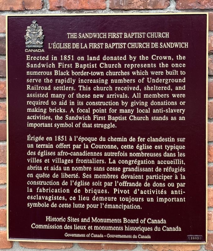
1. The Sandwich First Baptist Church/L’Église de la First Baptist Church de Sandwich Marker

Erected in 1851 on land donated by the Crown, the Sandwich First Baptist Church represents the once numerous Black border-town churches which were built to serve the rapidly increasing numbers of Underground Railroad settlers. This church received, sheltered, and assisted many of these new arrivals. All members were required to aid in its construction by giving donations or making bricks. A focal point for many local anti-slavery activities, the Sandwich First Baptist Church stands as an important symbol of that struggle.
Érigée en 1851 à l'époque du chemin de fer clandestin sur un terrain offert par la Couronne, cette église est typique des églises afro-canadiennes autrefois nombreuses dans les villes et villages frontaliers. La congrégation accueillit, abrita et aida un nombre sans cesse grandissant de réfugiés en quête de liberté. Ses membres devaient participer à la construction de l'église soit par l'offrande de dons ou par la fabrication de briques. Pivot d'activités anti- esclavagistes, ce lieu demeure toujours un important symbole de cette lutte pour l'émancipation.
Erected 2003
this page online
Topics and series. This historical marker is listed in these topic lists: Abolition & Underground RR • African Americans • Religion & Religious Structures. In addition, it is included in the Canada, Historic Sites and Monuments Board series list. A significant historical year for this entry is 1851.
Location. 42° 17.512′ N, 83° 4.805′ W. Marker is in Windsor, Ontario, in Essex County. It is in Sandwich. It is on Peter Street 0.1 kilometers south of Watkins Street, on the right when traveling south. Touch for map. Marker is at or near this postal address: 3644 Peter St, Windsor ON N9C 1J8, Canada. Touch for directions.

Regionally, this marker is in the Southwest Ontario Area and in Southwestern Ontario. It is also in Central Canada. Globally, it is in North America, the Western Hemisphere, the Western World, and the Anglosphere. Historically, it finds itself in what was once a British colony, the Viceroyalty of New France, the Haudenosaunee (Iroquois) Confederacy, and Rupert’s Land.
Other nearby markers. At least 8 other markers are within walking distance
Photographed by Tim Boyd, May 15, 2026
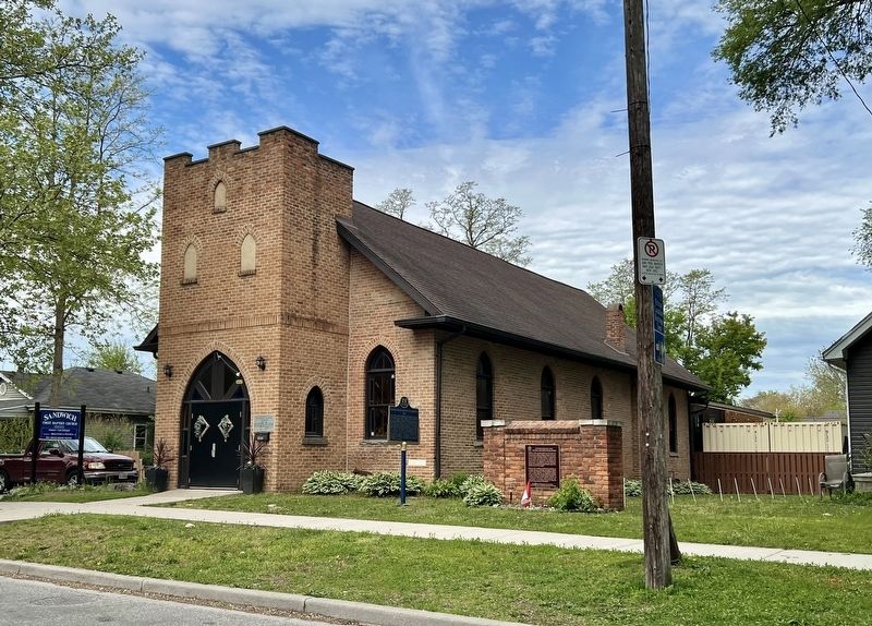
2. The Sandwich First Baptist Church/L’Église de la First Baptist Church de Sandwich Marker
Photographed by Tim Boyd, May 15, 2026
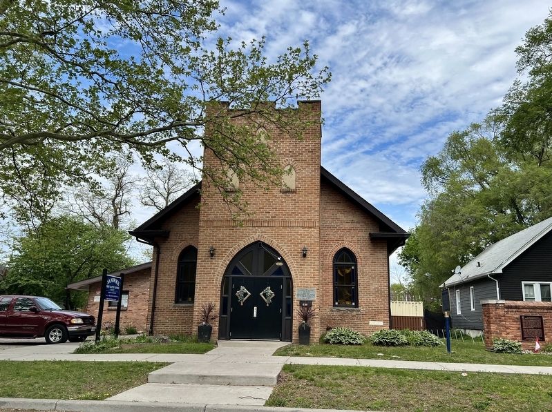
3. The Sandwich First Baptist Church, 2026
Credits. This page was last revised on May 20, 2026. It was originally submitted on May 20, 2026, by Tim Boyd of Hamilton, Ontario. This page has been viewed 13 times since then. Photos: 1, 2, 3. submitted on May 20, 2026, by Tim Boyd of Hamilton, Ontario. • Andrew Ruppenstein was the editor who published this page.
