Arena District in Columbus in Franklin County, Ohio — The American Midwest (Great Lakes)
Native Americans
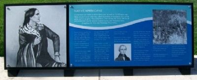
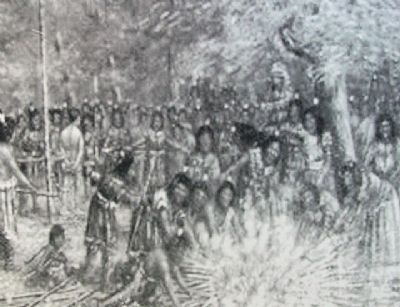
Central Ohio was home to Native Americans as early as 10,000 years ago. While we don't know what they called themselves, archaeologists call a group of the earliest peoples, “Mound Builders”. Their society left nearly 200 burial and ceremonial mounds around Franklin County, and thousands more throughout the Ohio and Mississippi River Valleys.
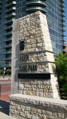
Several mounds originally rose above the confluence of the Scioto and Olentangy rivers, just west of North Bank Park. Most of the Franklin County sites were destroyed. A remaining mound can be found on McKinley Avenue in northwest Columbus.
The commonly known English names of the last Native American nations that lived in the area are Delaware, Mingo, Shawnee, and Wyandot. There were several villages scattered throughout Franklin County. One of the largest was a Mingo village located on the banks of the Scioto River, near this spot, in the 1770s.
Culture clashes occurred between white settlers and the local native population in the late 1700s and early 1800s. Very near this park, a fierce battle ensued between Colonel William Crawford's militia and the Mingo tribes. His attack, timed when the men were out hunting, killed women, children, and the elderly of the tribes.
One mother and child escaped to an island in the middle of the river. She was killed, but her child hid until the men returned home. The island later became known as, “Bloody Island”. The island is now underwater due to river widening, dredging, and damming. Crawford was later captured, tortured, and burned at the stake for his raids on Indian encampments.
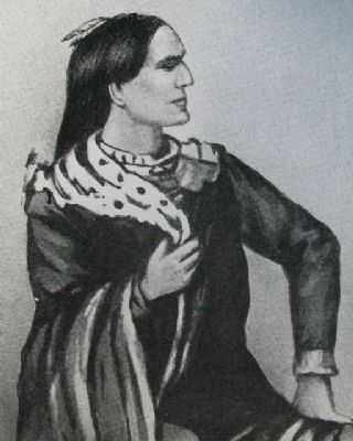
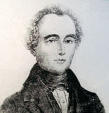
Tarhe the Crane, a Wyandot chief, signed a treaty with William Henry Harrison here in Columbus. This treaty resulted in a coalition of Native Americans and US troops that helped to defeat the British in the Ohio Country, and ultimately to winning the War of 1812.
With their homelands lost by treaty, most local Native Americans were forced to move to northeastern [sic - northwestern] Ohio, and eventually to Kansas, though some remained here and became part of the new society.
Erected by City of Columbus.
Topics and series. This historical marker is listed in these topic lists: Native Americans • Peace • Settlements & Settlers • War of 1812. In addition, it is included in the Former U.S. Presidents: #09 William Henry Harrison series list. A significant historical year for this entry is 1812.
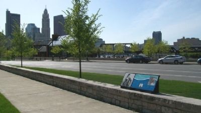
Location. 39° 57.935′ N, 83° 0.64′ W. Marker is in Columbus, Ohio, in Franklin County. It is in the Arena District. Marker is on Long Street (U.S. 33), on the left when traveling
east. Marker is in North Bank Park, about 400 feet west of the intersection of Long Street and Neil Avenue. Touch for map. Marker is in this post office area: Columbus OH 43215, United States of America. Touch for directions.
Other nearby markers. At least 8 other markers are within walking distance of this marker. Transportation, Growth, and Development (within shouting distance of this marker); The Railroads (within shouting distance of this marker); William and Hannah Neil (about 300 feet away, measured in a direct line); The Urban Face of the Scioto River (about 500 feet away); Working Class Neighborhoods (about 500 feet away); The Irish in Columbus (approx. 0.2 miles away); Columbus' First Professional Game (approx. 0.2 miles away); The Columbus Buckeyes (approx. 0.2 miles away). Touch for a list and map of all markers in Columbus.
Also see . . .
1. William Crawford. (Submitted on April 23, 2010, by William Fischer, Jr. of Scranton, Pennsylvania.)
2. The Newark Earthworks. (Submitted on April 23, 2010, by William Fischer, Jr. of Scranton, Pennsylvania.)
3. Ohio Indians. (Submitted on April 23, 2010, by William Fischer, Jr. of Scranton, Pennsylvania.)
4. 1814 Treaty. (Submitted on April 23, 2010, by William Fischer, Jr. of Scranton, Pennsylvania.)
Credits. This page was last revised on February 3, 2023. It was originally submitted on April 23, 2010, by William Fischer, Jr. of Scranton, Pennsylvania. This page has been viewed 1,545 times since then and 41 times this year. Photos: 1, 2, 3, 4, 5. submitted on April 23, 2010, by William Fischer, Jr. of Scranton, Pennsylvania. 6. submitted on April 20, 2010, by William Fischer, Jr. of Scranton, Pennsylvania.
