Near Pattonville in Lamar County, Texas — The American South (West South Central)
Shady Grove Cemetery
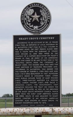
Photographed by Duane and Tracy Marsteller, May 1, 2026
1. Shady Grove Cemetery Marker
Erected 2002 by Texas Historical Commission. (Marker Number 12853.)
Topics. This historical marker is listed in this topic list: Cemeteries & Burial Sites. A significant historical year for this entry is 1844.
Location. 33° 34.13′ N, 95° 25.777′ W. Marker is near Pattonville, Texas, in Lamar County. It is on County Road 14400 south of County Road 13550, on the right when traveling south. Touch for map. Marker is at or near this postal address: 925 County Rd 14400, Pattonville TX 75468, United States of America. Touch for directions.

Regionally, this marker is in the American South and in the Piney Woods. Globally, it is in North America, a Gulf
this page online
Other nearby markers. At least 8 other markers are within 8 miles of this marker, measured as the crow flies: George Washington Stell, Sr. (about 500 feet away, measured in a direct line); Antioch Cemetery and Old Antioch Church of Christ (approx. 4.8 miles away); Biardstown School (approx. 4.9 miles away); Moore's Springs Cemetery (approx. 6.6 miles away); First Baptist Church of Blossom (approx. 6.9 miles away); World War II Pacific Theater (approx. 7.3 miles away); World War I (approx. 7.3 miles away); World War II European Theater (approx. 7.3 miles away).
Also see . . . Shady Grove Cemetery. Find a Grave entry for the burial ground includes searchable directory and photos of grave markers. (Submitted on May 22, 2026, by Duane and Tracy Marsteller of Murfreesboro, Tennessee.)
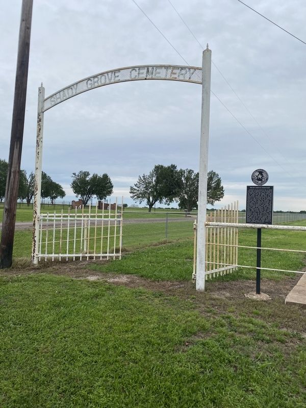
Photographed by Duane and Tracy Marsteller, May 1, 2026
2. Shady Grove Cemetery Marker
Credits. This page was last revised on May 22, 2026. It was originally submitted on May 22, 2026, by Duane and Tracy Marsteller of Murfreesboro, Tennessee. This page has been viewed 24 times since then. Photos: 1, 2. submitted on May 22, 2026, by Duane and Tracy Marsteller of Murfreesboro, Tennessee.
