
Buxton in Dare County, North Carolina — The American South (South Atlantic)
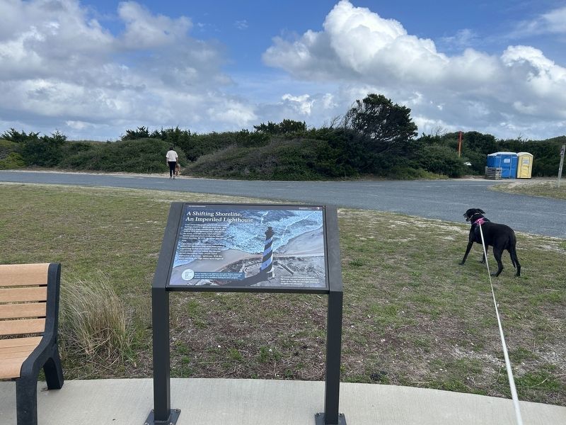
A Shifting Shoreline, An Imperiled Lighthouse
Cape Hatteras National Seashor

Photographed by Steve Stoessel, May 13, 2026
1. A Shifting Shoreline, An Imperiled Lighthouse Marker
Cape Hatteras National Seashore wanted to protect the lighthouse long-term. After years of. engineering studies and outside review, the park relocated the structure inland. But the plan stirred controversy, Many people feared destruction of the iconic lighthouse. With the world watching, the high-stakes move began in June 1999.
You are standing on the lighthouse move path. Workers cleared and graded a path over a half-mile long and 100 feet wide. As you walk the path, look out for medallions marking the move's progress.
[ Photo Caption: ] For decades, people worked to protect the lighthouse, but could not stop the encroaching ocean. In the 1990s, the park began planning for the lighthouse's relocation.
Topics. This historical marker is listed in this topic list: Waterways & Vessels. A significant historical month for this entry is June 1999.
Location. 35° 15.197′ N,
this page online

Regionally, this marker is in North Carolina’s Coastal Plain and on the Outer Banks. It is also in the American South, specifically in the Upper South, in the Tidewater, and on the Eastern Seaboard. Globally, it is in the North Atlantic Region, North America, the Western Hemisphere, the Western World, and the Anglosphere. Historically, it finds itself in what was once the territory of the Mississippian Culture, one of the original Thirteen Colonies, one of the Confederate States of America, and the Antebellum South.
Other nearby markers. At least 8 other markers are within walking distance of this marker: Lighthouse Move Path (within shouting distance of this marker); a different marker also named Lighthouse Move Path (within shouting distance of this marker); a different marker also named Lighthouse Move Path (about 500 feet away, measured
Photographed by Steve Stoessel, May 13, 2026
2. A Shifting Shoreline, An Imperiled Lighthouse Marker
Also see . . . Cape Hatteras Lighthouse (Wikipedia). (Submitted on May 23, 2026, by Steve Stoessel of Niskayuna, New York.)
Credits. This page was last revised on May 23, 2026. It was originally submitted on May 23, 2026, by Steve Stoessel of Niskayuna, New York. This page has been viewed 24 times since then. Photos: 1, 2. submitted on May 23, 2026, by Steve Stoessel of Niskayuna, New York.
