King's Island in Limerick in County Limerick, Munster, Ireland — Irish South-West ((Éire) North Atlantic Ocean)
Villier’s Alms Houses
| — | Medieval Limerick… on King’s Island | — |
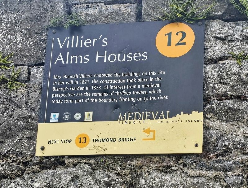
Photographed by Ian Lefkowitz, May 13, 2026
1. Villier’s Alms Houses Marker
(Marker Number 12.)
Topics. This historical marker is listed in these topic lists: Charity & Public Work • Women. A significant historical year for this entry is 1823.
Location. 52° 40.265′ N, 8° 37.518′ W. Marker is in Limerick, Munster, in County Limerick. It is on King's Island. It is at the intersection of Church Street and Island View Terrace, on the left when traveling north on Church Street. Touch for map. Marker is at or near this postal address: 1 Church St, Limerick, Munster, Ireland. Touch for directions.

Regionally, this marker is in the Ancient East. Globally, it is on the Atlantic Ocean, in the North Atlantic Region, in Europe, on the Island of Ireland, on the Celtic Fringe, in the European Union, in Atlantic Europe, on one of the British Isles, in the Western World, and in the Anglosphere.
Other nearby markers. At least
this page online
Also see . . . The History of Villiers.
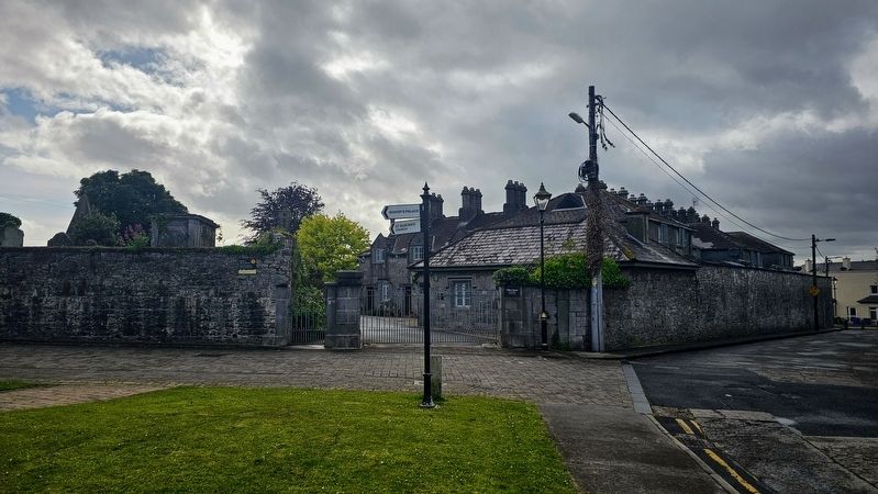
Following Hannah’s death in 1821, the reading of her will announced that her primary wish for her estate was the building of an alms-house for ’twelve poor Protestant Widows’, with two adjoining schools; one for boys and one for girls, as well as various annual payments to local charities. The trustees and executors of the will were responsible for ensuring that all could be(Submitted on May 24, 2026, by Ian Lefkowitz of New York, New York.)maintained by the administering of her estate. Six years after her death, in 1827, the first Villiers schools were opened, officially known as ‘Mrs. Villiers’ National Schools,’ but often referred to locally as either ‘The Nicholas Street Schools’ or ‘St. Munchin’s National Schools’.Photographed by Ian Lefkowitz, May 13, 20262. Villier’s Alms Houses MarkerThe marker is located on the wall of Villiers Square.
Credits. This page was last revised on May 27, 2026. It was originally submitted on May 24, 2026, by Ian Lefkowitz of New York, New York. This page has been viewed 8 times since then. Photos: 1, 2. submitted on May 24, 2026, by Ian Lefkowitz of New York, New York. • Andrew Ruppenstein was the editor who published this page.
