King's Island in Limerick in County Limerick, Munster, Ireland — Irish South-West ((Éire) North Atlantic Ocean)
Villier’s Alms Houses
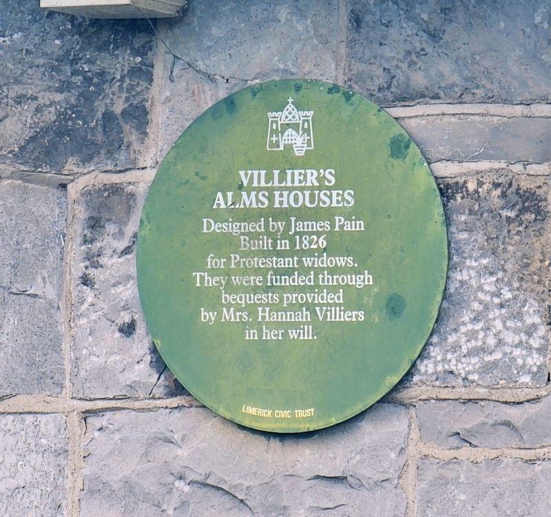
Photographed by Ian Lefkowitz, May 13, 2026
1. Villier’s Alms Houses Marker
Built in 1826 for Protestant widows. They were funded through bequests provided by Mrs. Hannah Villiers in her will.
Erected by Limerick Civic Trust.
Topics. This historical marker is listed in these topic lists: Charity & Public Work • Women. A significant historical year for this entry is 1826.
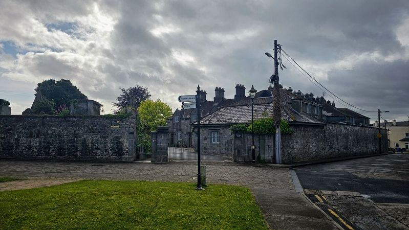
Location. 52° 40.268′ N, 8° 37.524′ W. Marker is in Limerick, Munster, in County Limerick. It is on King's Island. It can be reached from Church Street east of Island View Terrace, on the left when traveling north. The marker is on private property and inaccessible to the public, however, it may be seen from the public road. Touch for map. Marker is at or near this postal address: 1 Church Street, Limerick, Munster, Ireland. Touch for directions.

Regionally, this marker is in the Ancient East. Globally, it is on the Atlantic Ocean, in the North Atlantic Region, in Europe, on the Island of Ireland, on the Celtic Fringe, in the European Union, in Atlantic Europe, on one of the British Isles, in the Western World, and in the Anglosphere.
Other nearby markers. At least 8 other markers are
this page online
Also see . . . Villiers Alms Houses, Church Street, Limerick.
This very fine and intact block of almshouses retains much of its original architectural character, despite the presence of uPVC windows. They were erected to the design of James Pain with George Richard Pain, for Protestant and Presbyterian widows. The project was funded by an endowment from the will of Mrs Hannah Villiers who also endowed the school and orphanage on Henry Street. The school opened in 1827. Historically there(Submitted on May 24, 2026, by Ian Lefkowitz of New York, New York.)is a prominence of almshouses in the Nicholas Street/Church Street area, which is further emphasised by the almshouses adjacent to the former Bishop's Palace, located further north along Church Street.Photographed by Ian Lefkowitz, May 13, 20262. Villier’s Alms HousesThe marker is located beyond the fence, on private property.
Additional keywords. green plaque
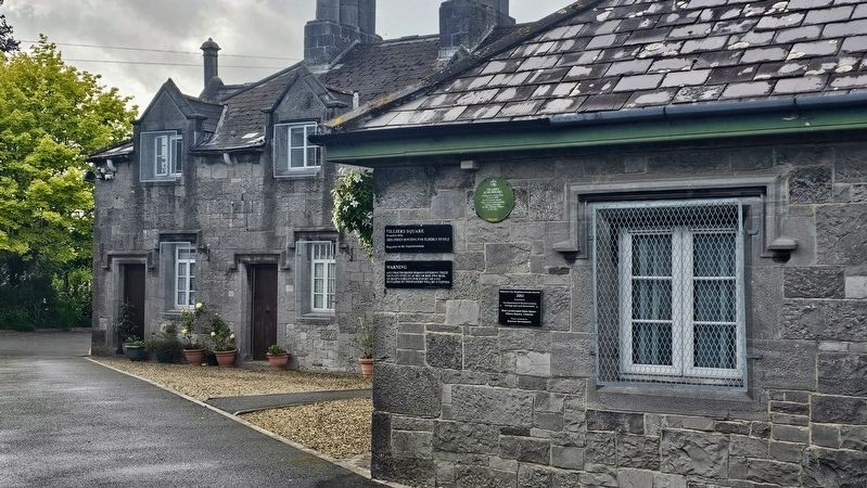
Photographed by Ian Lefkowitz, May 13, 2026
3. Villier’s Alms Houses Marker
Secondary markers discourage trespassers, and read:
Villiers Square
Founded 1826
Sheltered housing for elderly people
Villiers Square
Founded 1826
Sheltered housing for elderly people
Enquiries to the Superintendent
Credits. This page was last revised on May 27, 2026. It was originally submitted on May 24, 2026, by Ian Lefkowitz of New York, New York. This page has been viewed 8 times since then. Photos: 1, 2, 3. submitted on May 24, 2026, by Ian Lefkowitz of New York, New York. • Andrew Ruppenstein was the editor who published this page.
