Deanery Land in Limerick in County Limerick, Munster, Ireland — Irish South-West ((Éire) North Atlantic Ocean)
Second Siege of Limerick
Photographed by Ian Lefkowitz, May 13, 2026
1. Second Siege of Limerick Marker
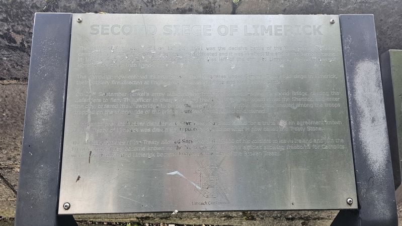
The campaign now entered its final phase. The Williamites under General Ginkel laid siege to Limerick, their artillery fire directed at Englishtown, Thomond Bridge and King John’s Castle.
On 22nd September Ginkel’s army attacked the Irish positions defending Thomond Bridge, causing the defenders to flee. The officer in charge, fearing that the Williamites would cross the Shannon and enter the city, ordered the drawbridge to be prematurely raised. A terrible slaughter ensued among the troops trapped on the wrong side of the bridge, hundreds being killed or drowned.
In order to prevent further disaster and save lives, Sarsfield called for a truce and an agreement known as the Treaty of Limerick was drawn up, reputedly signed on what is now called the Treaty Stone.
The military articles of
this page online
Erected by Limerick City Council.
Topics. This historical marker is listed in this topic list: Wars, Non-US. A significant historical date for this entry is July 12, 1691.
Location. 52° 40.197′ N, 8° 37.69′ W. Marker is in Limerick, Munster, in County Limerick. It is in Deanery Land. It is on Clancy's Strand near Thomond Bridge, on the left when traveling south. Touch for map. Marker is at or near this postal address: Clancy's Strand, Limerick, Munster, Ireland. Touch for directions.

Regionally, this marker is in the Ancient East. Globally, it is on the Atlantic Ocean, in the North Atlantic Region, in Europe, on the Island of Ireland, on the Celtic Fringe, in the European Union, in Atlantic Europe, on one of the British Isles, in the Western World, and in the Anglosphere.
Other nearby markers. At least 8 other markers are within walking distance of this marker: Bryan Whelan and T.J. O’Herlihy
Photographed by Ian Lefkowitz, May 13, 2026
2. Second Siege of Limerick Marker
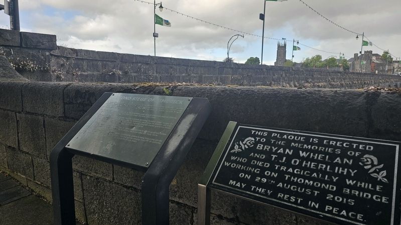
The marker, in front of Thomond Bridge.
Also see . . . Siege of Limerick (1691) (Wikipedia).
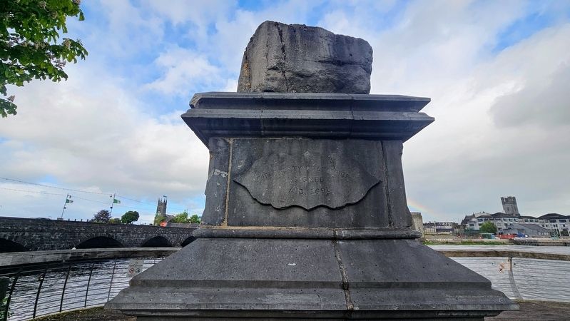
After this point, Patrick Sarsfield ousted the Chevalier de Tessé and the Marquis d'Usson, the French commanders in Limerick, and began negotiations to surrender. He and Ginkel concluded a treaty that promised to respect the civilian population of Limerick, tolerate the Catholic religion in Ireland, guarantee against the confiscation of Catholic-owned land and allow Sarsfield and the fully-armed Jacobite army to withdraw to France. Limerick capitulated under those favourable terms in October 1691. Sarsfield left Ireland with 10,000 soldiers and 4,000 women and children to enter the French service, a journey that has(Submitted on May 24, 2026, by Ian Lefkowitz of New York, New York.)become known as the Flight of the Wild Geese.Photographed by Ian Lefkowitz, May 13, 20263. The Treaty StoneThe stone upon which the Treaty of Limerick was reputedly signed.
Photographed by Ian Lefkowitz, May 13, 2026
4. Bryan Whelan and T.J. O’Herlihy
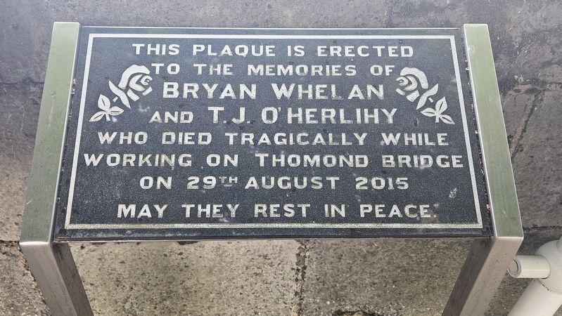
A neighboring plaque is dedicated to the memory of two stonemasons:
This plaque is erected to the memories of
Bryan Whelan
and
T.J. O’Herlihy
who died tragically while working on Thomond Bridge on 29th August 2015.
May they rest in peace.
Credits. This page was last revised on May 27, 2026. It was originally submitted on May 24, 2026, by Ian Lefkowitz of New York, New York. This page has been viewed 19 times since then. Photos: 1, 2, 3, 4. submitted on May 24, 2026, by Ian Lefkowitz of New York, New York. • Andrew Ruppenstein was the editor who published this page.
