Bensonhurst in Brooklyn in Kings County, New York — The American Northeast (Mid-Atlantic)
New Utrecht Cemetery
Revolutionary War Heritage Trail
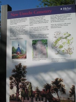
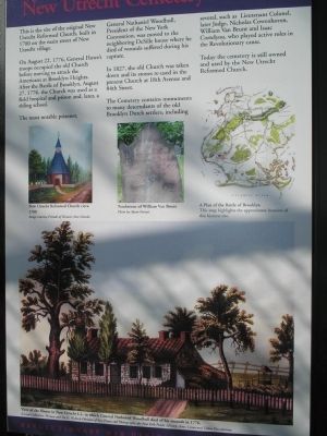
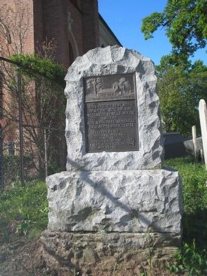
On August 22, 1776, General Howe’s troops occupied the old Church before moving to attack the Americans at Brooklyn Heights. After the Battle of Brooklyn, August 27, 1776, the Church was used as a field hospital and prison and, later, a riding school.
The most notable prisoner, General Nathaniel Woodhull, President of the New York Convention, was moved to the neighboring DeSille house where he died of wounds suffered during his capture.
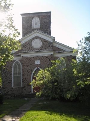
In 1827, the old Church was taken down and its stones re-used in the present Church at 18th Avenue and 84th Street.
The Cemetery contains monuments to many descendants of the old Brooklyn Dutch settlers, including several, such as Lieutenant Colonel, later Judge, Nicholas Cowenhoven, William Van Brunt and Isaac Corteyou, who played active roles in the Revolutionary cause.
Today the cemetery is still owned and used by the New Utrecht Reformed Church.
Erected by New York State.
Topics. This historical marker is listed in these topic lists: Cemeteries & Burial Sites • War, US Revolutionary. A significant historical year for this entry is 1700.
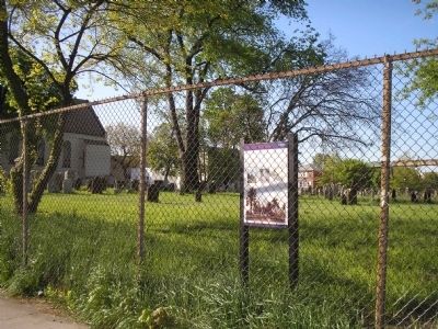
Location. 40° 36.669′ N, 74° 0.356′ W. Marker is in Brooklyn, New York, in Kings County. It is in Bensonhurst. Marker is at the intersection of 84th Street and 16th Avenue, on the right when traveling east on 84th Street. Touch for map. Marker is in this post office area: Brooklyn NY 11214, United States of America. Touch for directions.
Other nearby markers. At least 8 other markers are within 2 miles of this marker, measured as the crow flies. Necassius De Sille House (within shouting distance of this marker); The Battle of Brooklyn (approx. 0.3 miles away); New Utrecht Reformed Church (approx. 0.3 miles away); New Utrecht Liberty Pole (approx. 0.3 miles away); a different marker also named New Utrecht Reformed Church (approx. 0.3 miles away); Milestone Park (approx. 0.3 miles away); a different marker also named Milestone Park (approx. 0.4 miles away); Giovanni da Verrazano (approx. 1.2 miles away). Touch for a list and map of all markers in Brooklyn.
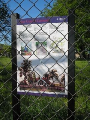
More about this marker. The bottom of the marker contains a “View of the House in New Utrecht, L.I. in which General Nathaniel Woodhull died of his wounds in 1776. Emmet Collection, Miriam and Ira D. Wallach Division of Art, Prints and Photographs, the New York Public Library, Astor, Lenox and Tilden Foundations.” The center of the marker features a picture of New Utrecht Reformed Church circa 1700 Image courtesy Friends of Historic New Utrecht; Tombstone of William Van Brunt Photo by Alyssa Loorya; and A Plan of the Battle of Brooklyn. This map highlights the approximate location of this historic site.”
Also see . . .
1. The Battle of Long Island, August 27, 1776 at Long Island, New York. The American Revolutionary War website. (Submitted on April 24, 2010, by Bill Coughlin of Woodland Park, New Jersey.)
2. Battle of Long Island, August 27, 1776. (Submitted on April 24, 2010, by Bill Coughlin of Woodland Park, New Jersey.)
3. The Battle of Long Island 1776. A British perspective of the battle from BritishBattles.com. (Submitted on April 24, 2010, by Bill Coughlin of Woodland Park, New Jersey.)
Credits. This page was last revised on January 31, 2023. It was originally submitted on April 24, 2010, by Bill Coughlin of Woodland Park, New Jersey. This page has been viewed 1,773 times since then and 40 times this year. Photos: 1, 2, 3, 4, 5, 6. submitted on April 24, 2010, by Bill Coughlin of Woodland Park, New Jersey.
