Marker Logo
THE HISTORICAL
MARKER DATABASE
“Bite-Size Bits of Local, National, and Global History”
Lake City in Florence County, South Carolina — The American South (South Atlantic)
 

Lake City
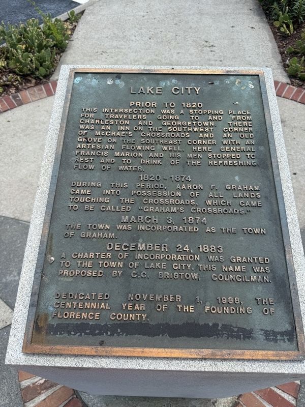
 
 
Lake City Marker image. Click for full size.
Photographed by Devry Becker Jones (CC0), May 21, 2026
1. Lake City Marker
Inscription.
Prior to 1820
This intersection was a stopping place for travelers going to and from Charleston and Georgetown. There was an inn on the southwest corner of McCrae's Crossroads and an old grove on the southeast corner with an artesian flowing well. Here General Francis Marion and his men stopped to rest and to drink of the refreshing drink of water.

1820 - 1874
During this period, Aaron F. Graham came into possession of all lands touching the crossroads, which came to be called "Graham's Crossroads."

March 3, 1874
The town was incorporated as the Town of Graham.

December 24, 1883
A charter of incorporation was granted to the Town of Lake City. This name was proposed by c.C. Bristow, Councilman.

Dedicated November 1, 1988, the centennial year of the founding of Florence County.
 
Erected 1988.
 
Topics. This historical marker is listed in these topic lists: Political SubdivisionsRoads & VehiclesSettlements & SettlersWar, US Revolutionary. A significant historical date for this entry is March 3, 1874.
 
Location. 33° 52.282′ N, 79° 45.165′ W. Marker is in Lake City, South Carolina, in Florence County.
Paid Advertisement
Click or scan to see
this page online
It is at the intersection of South Church Street and East Main Street (South Carolina Route 341), on the right when traveling north on South Church Street. Touch for map. Marker is at or near this postal address: 28 S Church St, Lake City SC 29560, United States of America. Touch for directions.

Regionally, this marker is in South Carolina’s Pee Dee. It is also in the American South and specifically in the Deep South. Globally, it is in North America, the Western Hemisphere, the Western World, and the Anglosphere. Historically, it finds itself in what was once the territory of the Mississippian Culture, one of the original Thirteen Colonies, one of the Confederate States of America, and the Antebellum South.

Other nearby markers. At least 8 other markers are within walking distance of this marker: Church Street / Main Street (within shouting distance of this marker); a different marker also named Lake City (within shouting distance of this marker); 139 & 141 E. Main St. (about 300 feet away, measured in a direct line); Lake City Produce Markets / Lake City Bean Market (about 300 feet away); 137 East Main Street
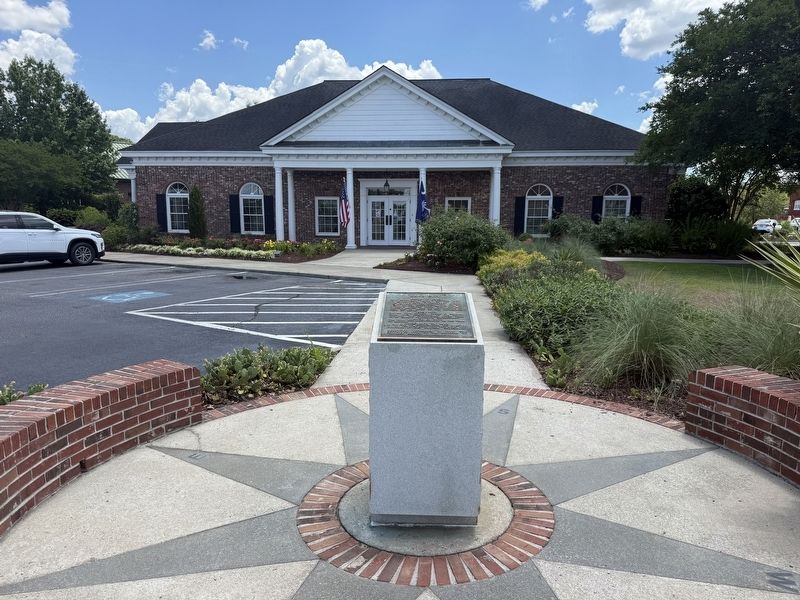
Lake City Marker image. Click for full size.
Photographed by Devry Becker Jones (CC0), May 21, 2026
2. Lake City Marker
(about 300 feet away); 133 East Main Street (about 300 feet away); 130 East Main Street (about 400 feet away); Dr. Ronald E. McNair Memorial Park (about 400 feet away). Touch for a list and map of all markers in Lake City.
 
 
Credits. This page was last revised on May 25, 2026. It was originally submitted on May 25, 2026, by Devry Becker Jones of Washington, District of Columbia. This page has been viewed 11 times since then. Photos:   1, 2. submitted on May 25, 2026, by Devry Becker Jones of Washington, District of Columbia.

m=300738

CeraNet Cloud Computing sponsors the Historical Marker Database.
This website earns income from purchases you make after using our links to Amazon.com. We appreciate your support.
Paid Advertisement
Aug. 6, 2026
