Englishtown in Limerick in County Limerick, Munster, Ireland — Irish South-West ((Éire) North Atlantic Ocean)
Fannings Castle
| — | Medieval Limerick… on King’s Island | — |
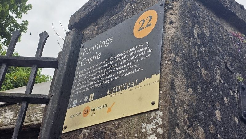
Photographed by Ian Lefkowitz, May 14, 2026
1. Fannings Castle Marker
Topics. This historical marker is listed in these topic lists: Architecture • Forts and Castles • Wars, Non-US. A significant historical year for this entry is 1691.
Location. 52° 40.046′ N, 8° 37.304′ W. Marker is in Limerick, Munster, in County Limerick. It is in Englishtown. It is on Mary Street. Touch for map. Marker is at or near this postal address: 4 Mary Street, Limerick, Munster, Ireland. Touch for directions.

Regionally, this marker is in the Ancient East. Globally, it is on the Atlantic Ocean, in the North Atlantic Region, in Europe, on the Island of Ireland, on the Celtic Fringe, in the European Union, in Atlantic Europe, on one of the British Isles, in the Western World, and in the Anglosphere.
this page online
Other nearby markers. At least 8 other markers are within walking distance of this marker: The Tholsel (a few steps from this marker); Barrington’s Hospital (about 90 meters away, measured in a direct line); St. Mary’s Cathedral (about 90 meters away); Bourke House (about 90 meters away); Robert Graves (about 90 meters away); The Graveyard (about 90 meters away); Willow Sculpture (about 90 meters away); Old City Court House & Gerald Griffin Memorial School (about 90 meters away). Touch for a list and map of all markers in Limerick.
Also see . . . Fanning’s Castle is Limerick’s last surviving tower house (Patrick Comerford).
Although it is known as Fanning’s Castle, this never was a castle. Rather, it is a late mediaeval, fortified townhouse or tower house. It is said to have been built by Dominic Fanning, a former mayor of Limerick, around 1641, as his personal residence...Dominick Fanning led the resistance in Limerick against Cromwell. However, when he was caught, he was forced had to give up his residence at Fanning’s Castle, and he was executed by the Cromwellian forces in 1651.(Submitted on May 26, 2026, by Ian Lefkowitz of New York, New York.)
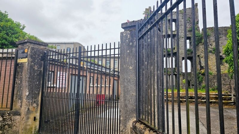
Photographed by Ian Lefkowitz, May 14, 2026
2. Fannings Castle Marker
The marker is affixed to, and partially obstructed by, a fence that restricts entrance to the ruins.
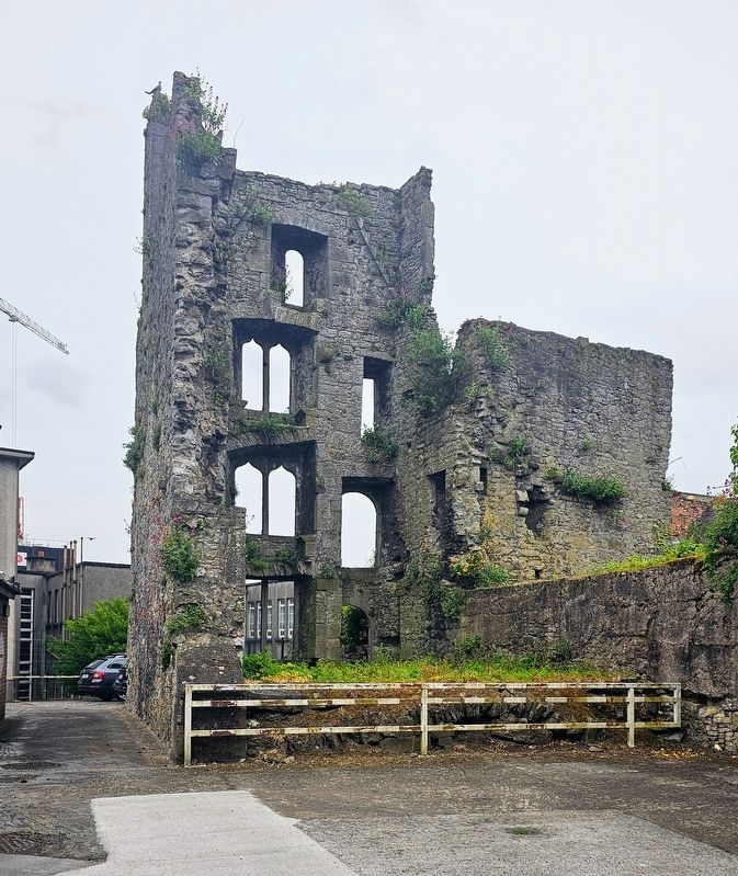
Photographed by Ian Lefkowitz, May 14, 2026
3. Fannings Castle Marker
Fannings Castle is not accessible to the public.
Credits. This page was last revised on May 26, 2026. It was originally submitted on May 26, 2026, by Ian Lefkowitz of New York, New York. This page has been viewed 12 times since then. Photos: 1, 2, 3. submitted on May 26, 2026, by Ian Lefkowitz of New York, New York. • Andrew Ruppenstein was the editor who published this page.
