Limerick in County Limerick, Munster, Ireland — Irish South-West ((Éire) North Atlantic Ocean)
Arthur’s Quay Park
Páirc Ché Artúir
Photographed by Ian Lefkowitz, May 14, 2026
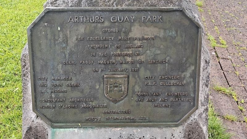
1. Arthur’s Quay Park Marker

Opened by Her Excellency Mary Robinson, President of Ireland, in the presence of Cllr. Paddy Madden, Mayor of Limerick, on 1st January 1991.
City Manager and Town Clerk, J. J. Higgins • City Engineer, P.A.F. Dullaghan • Consultant Architects, Murray O’Laoire Associates • Consultant Engineers, Ove Arup and Partners Ireland • Contractors, Murphy International Ltd.
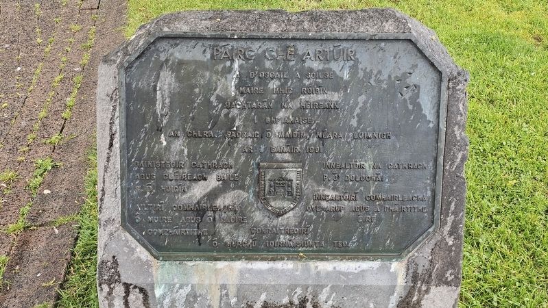
A d’oscail a soilse Máire Mhic Róibín, Uachtarán na hÉireann, bhí i láthair an Chlra. Pádraig Ó Maidín, Méara Luimnigh ar 1 Eanáir 1991
Bainisteoir Cathrach agus Cléireach Baile, S. Ó Luigín • Ailtirí Comhairleacha, Ó Muire agus Ó Laoire, Comhairlithe • Innealtóir na Cathrach, P. Ó Dolochaí • Innealtóirí Comhairleacha, Ove Arup agus a Pháirtithe, Éire • Conraitheoirí, Ó Murchú Idirnáisiúnta Teo.
Erected 1991 by The City of Limerick.
Topics. This historical marker is listed in this topic list: Parks & Recreational Areas. A significant historical date for this entry is January 1, 1991.
Location. 52° 39.95′ N, 8° 37.631′ W. Marker is in Limerick, Munster, in County Limerick. It can be reached from the intersection of Arthurs Quay
this page online

Regionally, this marker is in the Ancient East. Globally, it is on the Atlantic Ocean, in the North Atlantic Region, in Europe, on the Island of Ireland, on the Celtic Fringe, in the European Union, in Atlantic Europe, on one of the British Isles, in the Western World, and in the Anglosphere.
Other nearby markers. At least 8 other markers are within walking distance of this marker: Catherine Hayes (about 180 meters away, measured in a direct line); Maurice Lenihan (about 180 meters away); Cuimhneachán 1916 / The 1916 Memorial (about 210 meters away); a different marker also named Cuimhneachán 1916 / The 1916 Memorial (about 210 meters away); Sarsfield Bridge (about 210 meters away); Sylvester O’Halloran Bridge (about 210 meters away); Mathew Bridge (approx. 0.3 kilometers away); Terry Wogan (approx. 0.3 kilometers away). Touch for a list and map of all markers in Limerick.
Also see . . . How Arthurs Quay moved from Georgian houses to slums before becoming a shopping centre.
Photographed by Ian Lefkowitz, May 14, 2026
2. Páirc Ché Artúir Marker
Patrick Arthur built Arthur’s Quay in 1773 to provide harbour facilities for his timber ships. His son and business partner, Francis Arthur, became involved in property development and financed the building of triangular block of Georgian terraced houses on the site now occupied by the Arthurs Quay Shopping Centre...It was the single biggest building project for urban development outside Dublin that had Government support. The project was completed in October 1989, and changed the face of Limerick’s city centre, bringing prosperity to an area that had been struggling with dereliction. The new development included a 30,000 sq ft supermarket, 26 shop units, 15,000 sq ft of office space, a block of ten apartments and 600 car-parking spaces in a multi-storey car park. At the same time, a sprawling car park was transformed into a civic park.(Submitted on May 27, 2026, by Ian Lefkowitz of New York, New York.)
Photographed by Ian Lefkowitz, May 14, 2026
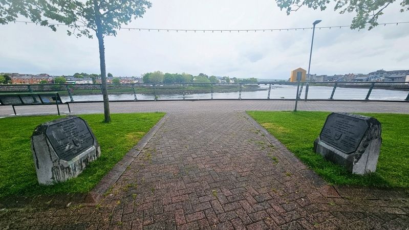
3. Arthur’s Quay Park / Páirc Ché Artúir Marker
The markers may be found in the rear of the park facing one another.
Photographed by Ian Lefkowitz, May 14, 2026
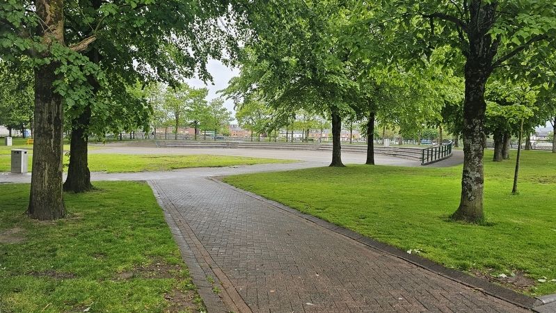
4. Arthur’s Quay Park
A view of the park, located in the heart of Limerick's City Centre.
Credits. This page was last revised on August 25, 2026. It was originally submitted on May 27, 2026, by Ian Lefkowitz of New York, New York. This page has been viewed 28 times since then. Photos: 1, 2, 3, 4. submitted on May 27, 2026, by Ian Lefkowitz of New York, New York. • J. J. Prats was the editor who published this page.
