Stevensburg in Culpeper County, Virginia — The American South (Mid-Atlantic)
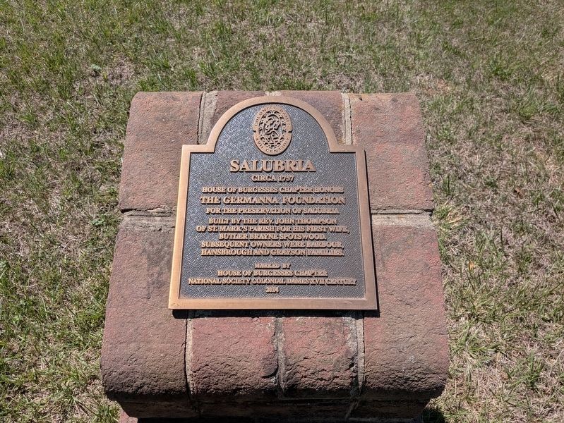
Salubria
Circa 1757
Photographed by Evan Dwyer, May 1, 2026
1. Salubria Marker
Built by the Rev. John Thompson of St. Mark's Parish for his first wife, Butlery Brayne Spotswood. Subsequent owners were Barbour, Hansbrough and Grayson families.
Marked by
House of Burgesses Chapter
National Society Colonial Dames XVII Century
2014
Erected 2014 by House of Burgesses Chapter National Society Colonial Dames XVII Century.
Topics. This historical marker is listed in these topic lists: Architecture • Colonial Era • Religion & Religious Structures. A significant historical year for this entry is 1757.
Location. 38° 26.298′ N, 77° 53.211′ W. Marker is in Stevensburg, Virginia, in Culpeper County. It is on Salubria Lane south of Germanna Highway (Virginia Route 3), on the right when traveling south. The marker is located where the driveway forks away from the farm road that leads back to the concrete plant. Touch for map. Marker is at or near this postal address: 19173 Salubria Lane, Stevensburg VA 22741, United States of America. Touch for directions.

Regionally, this marker is in the Washington
this page online
Other nearby markers. At least 8 other markers are within walking distance of this marker: A different marker also named Salubria (approx. ¼ mile away); Welcome to Historic Stevensburg, Virginia (approx. 0.3 miles away); Historic Stevensburg (approx. 0.3 miles away); Religion in Stevensburg (approx. 0.3 miles away); a different marker also named Religion in Stevensburg (approx. 0.3 miles away); Battlefield Preservation (approx. 0.3 miles away); The Civil War in Stevensburg (approx. 0.3 miles away); a different marker also named The Civil War in Stevensburg (approx. 0.3 miles away). Touch for a list and map of all markers in Stevensburg.
Regarding Salubria. The Hansbroughs, Barbours, and
Photographed by Evan Dwyer, May 1, 2026
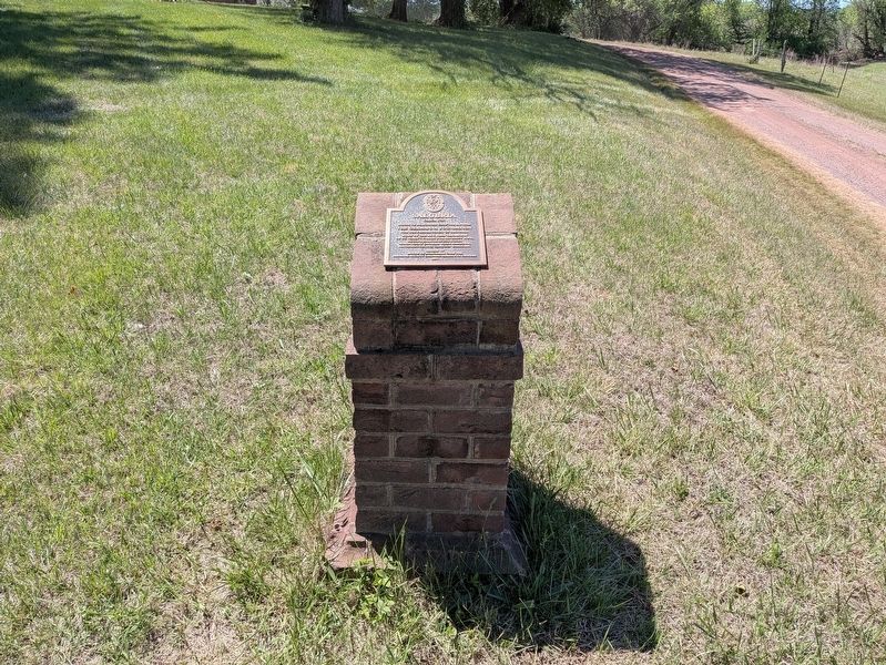
2. Salubria Marker
The marker is between the farm road (right) and Salubria Lane/driveway (out of view to the left).
Photographed by Evan Dwyer, May 1, 2026
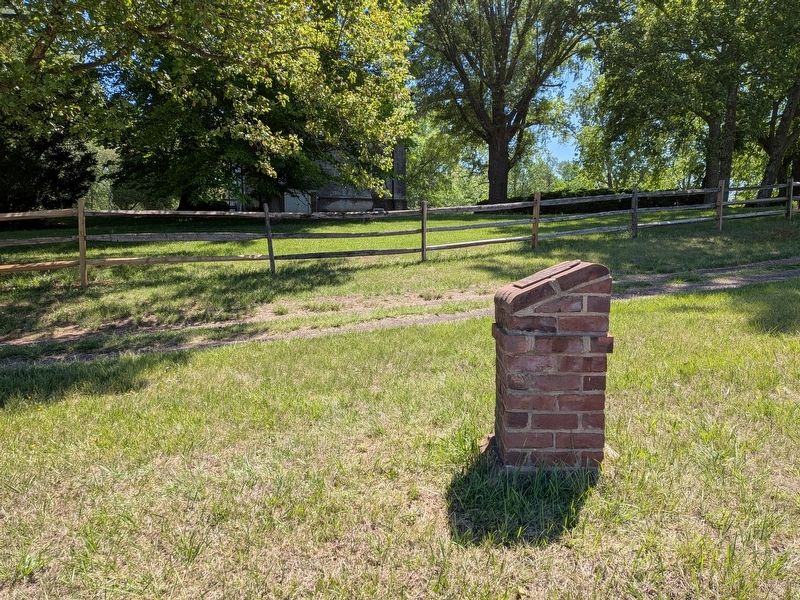
3. Salubria Marker
The 1757 house is in the trees beyond.
Photographed by Evan Dwyer, May 1, 2026
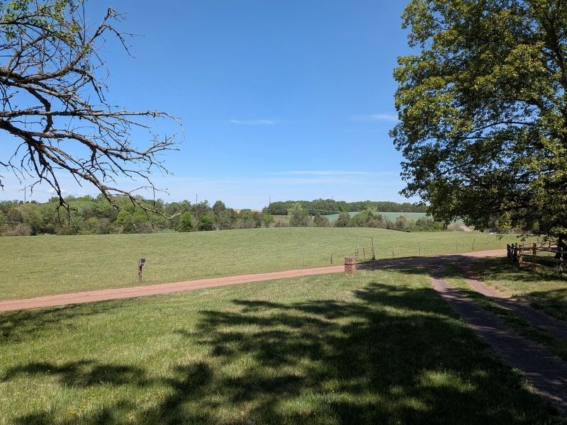
4. Salubria Marker
With Hansbrough's Ridge in the background as the prominent wooded spine of land across Route 3. This view is looking north.
Photographed by Evan Dwyer, May 1, 2026
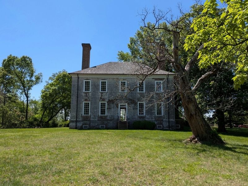
5. Salubria
Rev. John Thompson's ca. 1757 mansion. The name "Salubria" was applied during after the 1802 Hansbrough purchase and the mid-1830s when the house passed to the next generation of the family. The house is open for tours on select days during the summer months and by appointment in the spring and fall; it is operated by Historic Germanna.
Credits. This page was last revised on May 28, 2026. It was originally submitted on May 27, 2026, by Evan Dwyer of Richmond, Virginia. This page has been viewed 21 times since then. Photos: 1, 2, 3, 4, 5. submitted on May 27, 2026, by Evan Dwyer of Richmond, Virginia. • Bernard Fisher was the editor who published this page.
