Georgetown in Georgetown County, South Carolina — The American South (South Atlantic)
Ship's Propeller
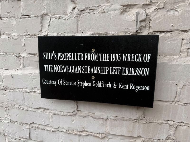
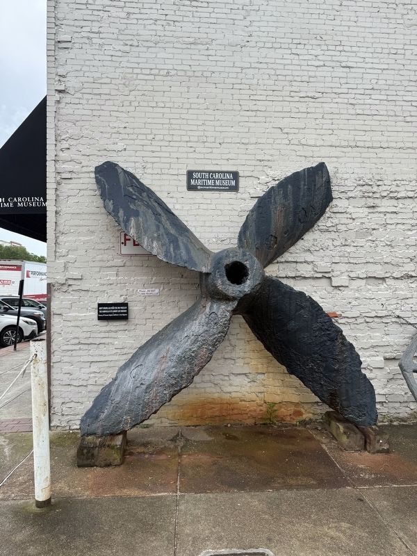
Ship's propeller from the 1905 wreck of the Norwegian steamship Leif Eriksson
Courtesy of Senator Stephen Goldfinch & Kent Rogerson
Topics. This historical marker is listed in this topic list: Waterways & Vessels. A significant historical year for this entry is 1905.
Location. 33° 21.975′ N, 79° 17.006′ W. Marker is in Georgetown, South Carolina, in Georgetown County. It is on Front Street east of Broad Street, on the right when traveling east. Touch for map. Marker is at or near this postal address: 735 Front St, Georgetown SC 29440, United States of America. Touch for directions.

Regionally, this marker is in South Carolina’s Pee Dee and on Waccamaw Neck. It is also in the American South, specifically in the Deep South, and on the Eastern Seaboard. Globally, it is in the North Atlantic Region, North America, the Western Hemisphere, the Western World, and the Anglosphere. Historically, it finds itself in what was once the territory of the Mississippian Culture, one of the original Thirteen Colonies, one of the Confederate States of America, and the Antebellum South.
Other nearby markers. At least
this page online
Another marker is no longer nearby. Ship’s Propeller (was here, next to this marker but has been replaced with another marker now near it).
Photographed by Devry Becker Jones (CC0), May 22, 2026
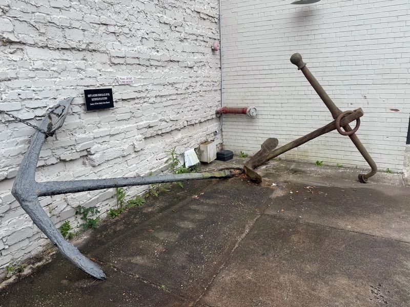
3. Adjacent display
Ship's anchor from Black River, Keithfield Plantation
Courtesy of Drew Ruddy & Steve Howard
Courtesy of Drew Ruddy & Steve Howard
Credits. This page was last revised on May 28, 2026. It was originally submitted on May 28, 2026, by Devry Becker Jones of Washington, District of Columbia. This page has been viewed 15 times since then. Photos: 1, 2, 3. submitted on May 28, 2026, by Devry Becker Jones of Washington, District of Columbia.
