Summerville in Dorchester County, South Carolina — The American South (South Atlantic)
Designed for Defense
| — | South Carolina State Park Service | — |
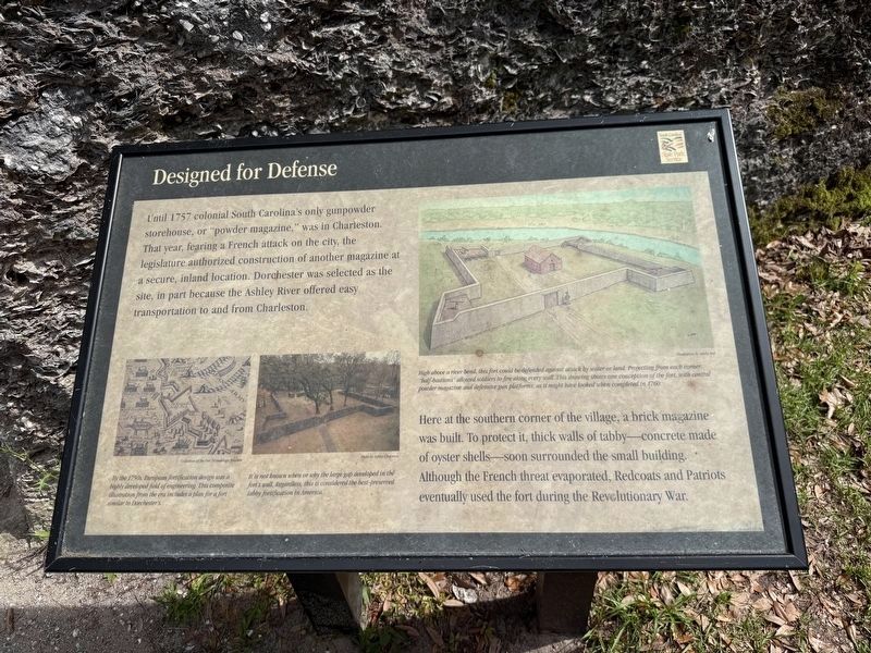
Until 1757 colonial South Carolina's only gunpowder storehouse, or "powder magazine," was in Charleston. That year, fearing a French attack on the city, the legislature authorized construction of another magazine at a secure, inland location. Dorchester was selected as the site, in part because the Ashley River offered easy transportation to and from Charleston.
Here at the southern corner of the village, a brick magazine was built. To protect it, thick walls of tabby—concrete made of oyster shells—soon surrounded the small building. Although the French threat evaporated, Redcoats and Patriots eventually used the fort during the Revolutionary War.
[Captions:]
By the 1750s, European fortification design was a highly developed field of engineering. This composite illustration from the era includes a plan for a fort similar to Dorchester's.
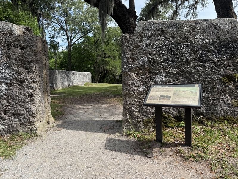
It is not known when or why the large gap developed in the fort's wall. Regardless, this is considered the best-preserved tabby fortification in America.
High above a river bend, this fort could be defended against attack by water or land. Projecting from each corner, "half-bastions" allowed soldiers to fire along every wall. This drawing shows one conception of the fort, with central powder magazine and defensive gun platforms, as it might have looked when completed in 1760.
Erected by South
this page online
Topics. This historical marker is listed in these topic lists: Colonial Era • Forts and Castles • War, US Revolutionary. A significant historical year for this entry is 1757.
Location. 32° 56.832′ N, 80° 10.21′ W. Marker is in Summerville, South Carolina, in Dorchester County. It is on Shop Road south of County Road 18-373, on the right when traveling south. Touch for map. Marker is at or near this postal address: 300 Shop Rd, Summerville SC 29485, United States of America. Touch for directions.

Regionally, this marker is in the Lowcountry. It is also in the American South, specifically in the Deep South, and on the Eastern Seaboard. Globally, it is in the North Atlantic Region, North America, the Western Hemisphere, the Western World, and the Anglosphere. Historically, it finds itself in what was once the territory of the Mississippian Culture, one of the original Thirteen Colonies, one of the Confederate States of America, and the Antebellum South.
Other nearby markers. At least 8 other markers are within walking distance of this marker: A Concrete Solution (a few steps from this
Credits. This page was last revised on May 29, 2026. It was originally submitted on May 29, 2026, by Devry Becker Jones of Washington, District of Columbia. This page has been viewed 16 times since then. Photos: 1, 2. submitted on May 29, 2026, by Devry Becker Jones of Washington, District of Columbia.
