Whitemarsh Island in Chatham County, Georgia — The American South (South Atlantic)
Cane Boiler
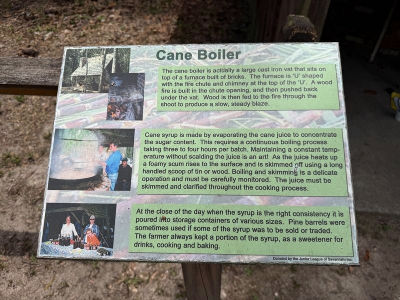
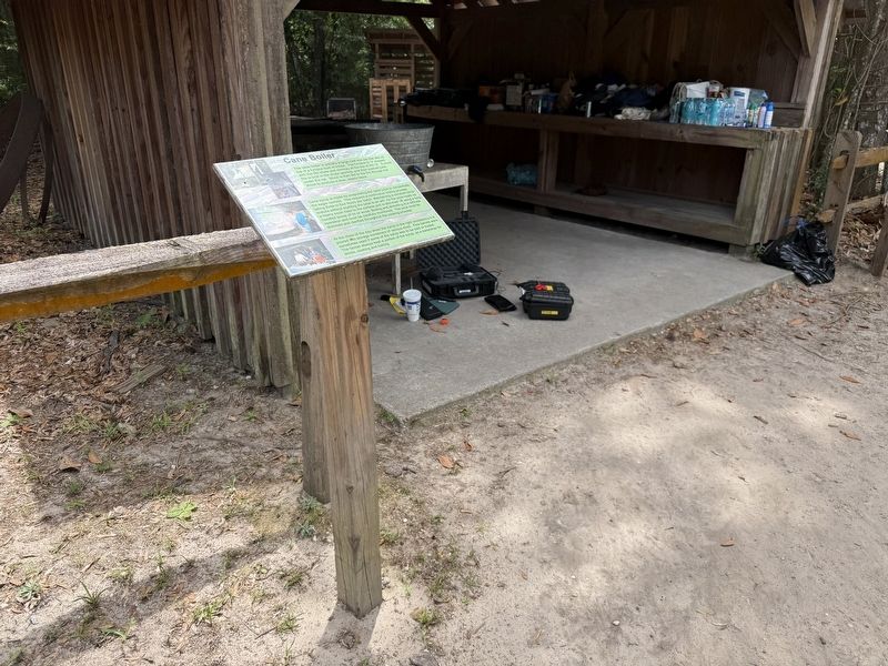
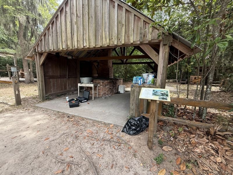
The cane boiler is actually a large cast iron vat that sits on top of a furnace built of bricks. The furnace is 'U' shaped with the fire chute and chimney at the top of the 'U'. A wood fire is built in the chute opening, and then pushed back under the vat. Wood is then fed to the fire through the shoot to produce a slow, steady blaze.
Cane syrup is made by evaporating the cane juice to concentrate the sugar content. This requires a continuous boiling process taking three to four hours per batch. Maintaining a constant temperature without scalding the juice is an art! As the juice heats up a foamy scum rises to the surface and is skimmed off using a long handled scoop of tin or wood. Boiling and skimming is a delicate operation and must be carefully monitored. The juice must be skimmed and clarified throughout the cooking process.
At the close of the day when the syrup is the right consistency it is poured into storage containers of various sizes. Pine barrels were sometimes used if some of the syrup was to be sold or traded. The farmer always kept a portion of the syrup, as a sweetener for drinks, cooking and
this page online
Erected by Oatland Island Wildlife Center; donated by the Junior League of Savannah, Inc.
Topics. This historical marker is listed in these topic lists: Agriculture • Industry & Commerce.
Location. 32° 3.079′ N, 81° 1.173′ W. Marker is on Whitemarsh Island, Georgia, in Chatham County. It can be reached from Barley Drive west of Sandtown Road, on the right when traveling west. Touch for map. Marker is at or near this postal address: 711 Barley Dr, Savannah GA 31410, United States of America. Touch for directions.

Regionally, this marker is in Georgia’s Coastal Plain, on the Georgia Coast and the Golden Isles, in Greater Savannah, and on the Sea Islands. It is also in the American South, specifically in the Deep South, and on the Eastern Seaboard. Globally, it is in the North Atlantic Region, North America, the Western Hemisphere, the Western World, and the Anglosphere. Historically, it finds itself in what was once New Spain, the territory of the Mississippian Culture, one of the original Thirteen Colonies, one of the Confederate States of America,
Other nearby markers. At least 8 other markers are within walking distance of this marker: Cane Grinder (a few steps from this marker); The Delk Cabin (a few steps from this marker); Delk-Dawson Heritage Homestead (within shouting distance of this marker); EF-1 Tornado Strikes! (within shouting distance of this marker); a different marker also named EF-1 Tornado Strikes! (about 500 feet away, measured in a direct line); Great Egret / Snowy Egret (about 500 feet away); Gray Wolf (approx. 0.2 miles away); Ossabaw Island Hog (approx. 0.2 miles away). Touch for a list and map of all markers in Whitemarsh Island.
Photographed by Devry Becker Jones (CC0), May 23, 2026
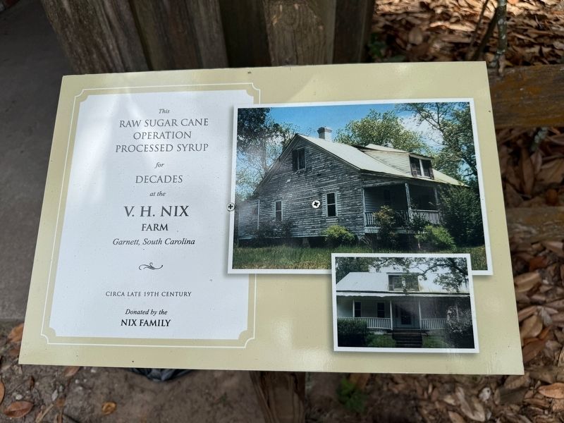
4. Dedication plaque
This raw sugar can operation processed syrup for decades at the V.H. Nix Farm Garnett, South Carolina
Circa late 19th century
Donated by the Nix Family
Donated by the Nix Family
Credits. This page was last revised on May 31, 2026. It was originally submitted on May 31, 2026, by Devry Becker Jones of Washington, District of Columbia. This page has been viewed 9 times since then. Photos: 1, 2, 3, 4. submitted on May 31, 2026, by Devry Becker Jones of Washington, District of Columbia.
