
American Fork in Utah County, Utah — The American Mountains (Southwest)
William S. Robinson Park
Photographed by Jeremy Snow, May 31, 2026
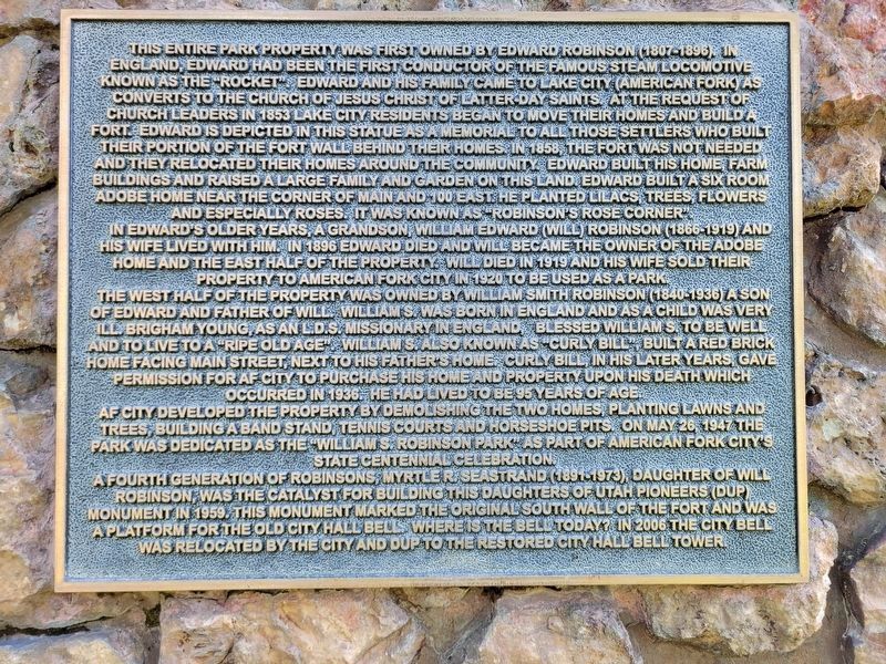
1. William S. Robinson Park Marker
In Edward’s older years, a grandson, William Edward (Will) Robinson (1866-1919) and his wife lived with him. In 1896 Edward died and Will became the owner of the adobe home and the East half of the property. Will died in 1919 and his wife sold their property to American
this page online
The West half of the property was owned by William Smith Robinson (1840-1936), a son of Wdward and Father of Will. Willian S. was born in England and as a child was very ill. Brigham Young, as an L.D.S. Missionary in England, blessed William S. to be well and to live to a “ripe old age”. William S. also known as “Curly Bill”, built a red brick home facing Main Street, next to his father’s home. Curly Bill, in his later years, gave permission for American Fork City to purchase his home and property upon his death which occurred in 1936. He had lived to be 95 years of age.
American Fork City developed the property by demolishing the two homes, planting lawns and trees, building a band stand, tennis courts and horseshoe pits. On May 26, 1947 the park was dedicated as the “William S. Robinson Park” as part of American Fork City’s State Centennial Celebration.
A fourth generation of Robinsons, Myrtle R. Seastrand (1891-1973), daughter of William Roninson, was the catalyst for building this Daughters of Utah Pioneers (DUP) Monument in 1959. The monument marked the original South Wall of the
Photographed by Jeremy Snow, May 31, 2026
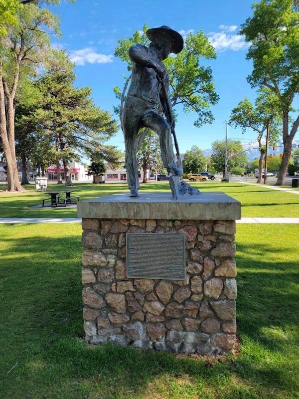
2. William S. Robinson Park Marker
Topics. This historical marker is listed in these topic lists: Parks & Recreational Areas • Settlements & Settlers. A significant historical year for this entry is 1853.
Location. 40° 22.566′ N, 111° 47.771′ W. Marker is in American Fork, Utah, in Utah County. It is on East Main Street, on the right when traveling south. Touch for map. Marker is in this post office area: American Fork UT 84003, United States of America. Touch for directions.

Regionally, this marker is in the Wasatch Front and in Greater Provo. It is also in the American Mountain West and on the Colorado Plateau. Globally, it is in North America, the Rocky Mountains, the Western Hemisphere, the Western World, and the Anglosphere. Historically, it finds itself in what was once New Spain and also Mexico’s Alta California.
Other nearby markers. At least 8 other markers are within walking distance of this marker: Fort Wall at American Fork (here, next to this marker); Welcome to Robinson Park
Photographed by Jeremy Snow, May 31, 2026
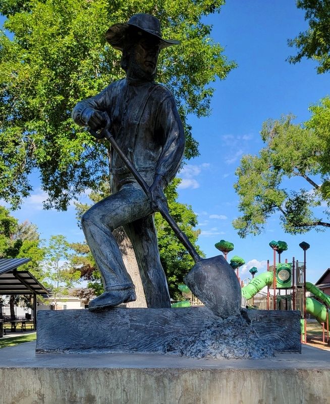
3. Edward Robinson Statue
More about this marker. The marker is located in William S. Robinson Park.
Credits. This page was last revised on June 3, 2026. It was originally submitted on June 2, 2026, by Jeremy Snow of Cedar City, Utah. This page has been viewed 20 times since then. Photos: 1, 2, 3. submitted on June 2, 2026, by Jeremy Snow of Cedar City, Utah. • Andrew Ruppenstein was the editor who published this page.
