Marker Logo
THE HISTORICAL
MARKER DATABASE
“Bite-Size Bits of Local, National, and Global History”
Foot Hills in Provo in Utah County, Utah — The American Mountains (Southwest)
 

Recreation Center-Utah State Hospital

Utah Historic Site

— National Register of Historic Places —


Recreation Center-Utah State Hospital Marker image. Click for full size.
Photographed by Jeremy Snow, May 31, 2026
1. Recreation Center-Utah State Hospital Marker
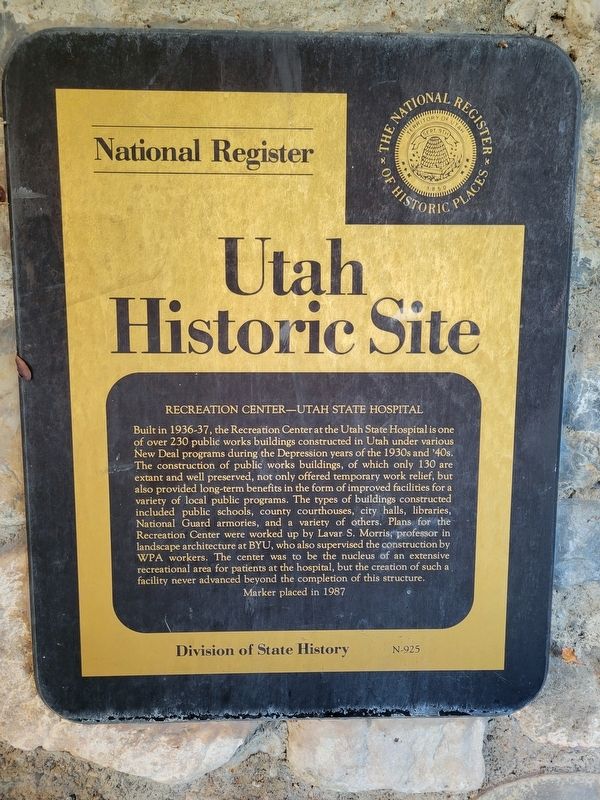
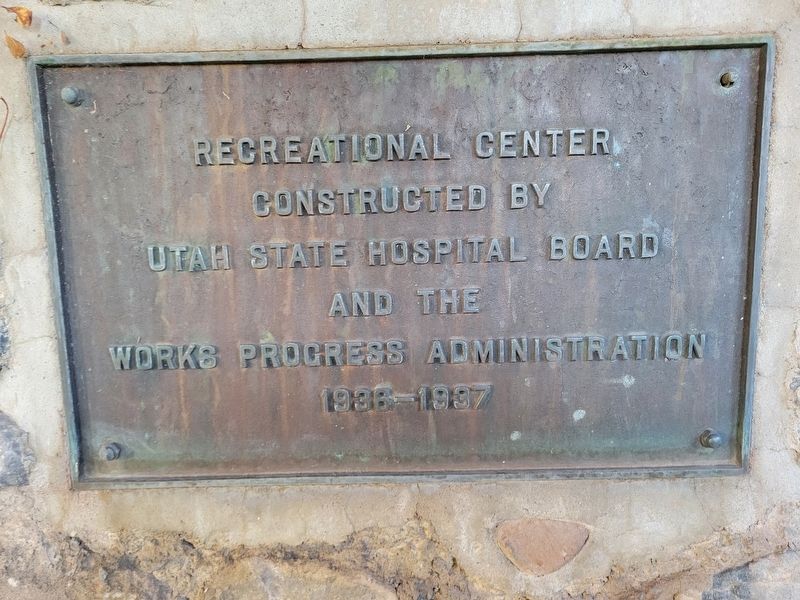
Inscription. Built in 1936-37, the Recreation Center at the Utah State Hospital is one of over 230 public works buildings constructed in Utah under various New Deal programs during the Depression years of the 1930s and 40s. The construction of public works buildings, of which only 130 are extant and well preserved, not only offered temporary work relief, but also provided long-term benefits in the form of improved facilities for a variety of local public programs. The types of buildings constructed included public schools, county courthouses, city halls, libraries, National Guard armories, and a variety of others. Plans for the Recreation Center were worked up by Lavar S. Morris, professor in landscape architecture at BYU, who also supervised the construction by WPA workers. The center was to be the nucleus of an extensive recreational area for patients at the hospital, but the creation of such a facility never advanced beyond the completion of this structure.
 
Erected 1987 by Utah Division of State History. (Marker Number N-925.)
 
Topics and series. This historical marker is listed in these topic lists: Charity & Public Work
Paid Advertisement
Click or scan to see
this page online
Science & Medicine. In addition, it is included in the Utah Historic Sites (NRHP) series list. A significant historical year for this entry is 1936.
 
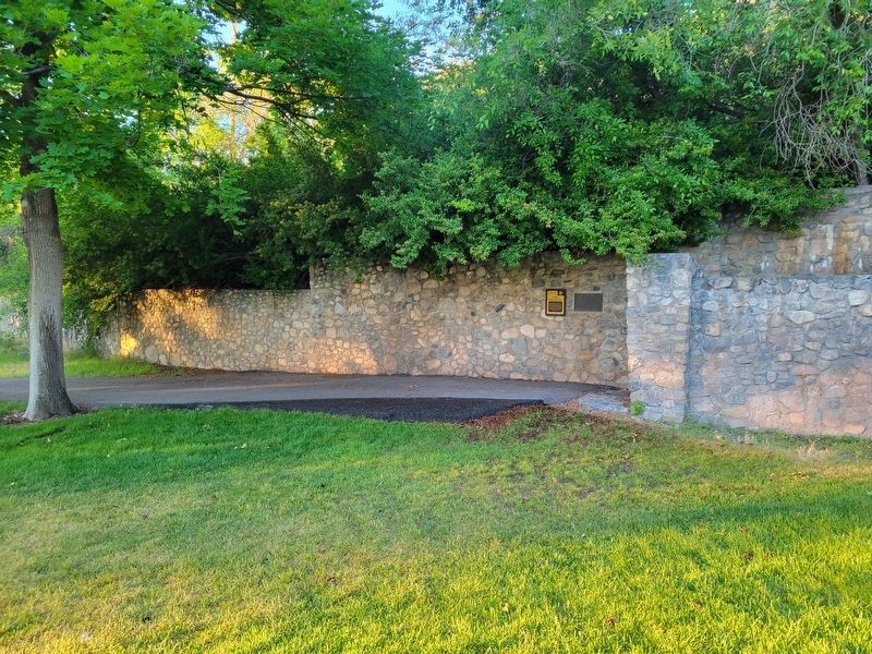
Location. 40° 14.062′ N, 111° 37.887′ W. Marker is in Provo, Utah, in Utah County. It is in Foot Hills. It can be reached from East Center Street. Touch for map. Marker is at or near this postal address: 1300 E Center St, Provo UT 84606, United States of America. Touch for directions.

Regionally, this marker is in Utah’s Wasatch Front. It is also in the American Mountain West and in Colorado Plateau. Globally, it is in North America, the Rocky Mountains, the Western Hemisphere, the Western World, and the Anglosphere. Historically, it finds itself in what was once New Spain and also Mexico’s Alta California.

Other nearby markers. At least 8 other markers are within walking distance of this marker: Superintendent's Residence - Utah State Hospital (approx. half a mile away); Harmon Park (approx. 0.6 miles away); Utah Territorial Insane Asylum Came to Provo in 1885 (approx. 0.7 miles away); Fire Destroys Brigham Young Academy Building (approx. 0.7 miles away); Early Residents of Provo lacked Land Titles
Recreation Center-Utah State Hospital Marker image. Click for full size.
Photographed by Jeremy Snow, May 31, 2026
2. Recreation Center-Utah State Hospital Marker
(approx. 0.7 miles away); Dr. Barney Clark (approx. 0.7 miles away); A Wheelbarrow Parade in 1888 Helped Bring Political Parties to Provo (approx. 0.7 miles away); A Tragedy at the Site of the Provo Lime Kiln (approx. 0.7 miles away). Touch for a list and map of all markers in Provo.
 
Recreation Center-Utah State Hospital Marker image. Click for full size.
Photographed by Jeremy Snow, May 31, 2026
3. Recreation Center-Utah State Hospital Marker
 
 
Credits. This page was last revised on June 3, 2026. It was originally submitted on June 2, 2026, by Jeremy Snow of Cedar City, Utah. This page has been viewed 10 times since then. Photos:   1, 2, 3. submitted on June 2, 2026, by Jeremy Snow of Cedar City, Utah. • Andrew Ruppenstein was the editor who published this page.

m=301640

CeraNet Cloud Computing sponsors the Historical Marker Database.
This website earns income from purchases you make after using our links to Amazon.com. We appreciate your support.
Paid Advertisement
Aug. 1, 2026