Near Hopewell in Prince George County, Virginia — The American South (Mid-Atlantic)
Merchant's Hope Church
†
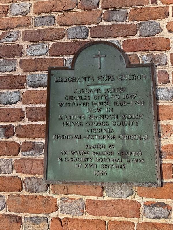
Charles City Co. 1657
Westover Parish 1688-1720
Now in Martin's Brandon Parish
Prince George County
Virginia
Episcopal-exterior original
Topics and series. This historical marker is listed in these topic lists: Colonial Era • Religion & Religious Structures. In addition, it is included in the The Colonial Dames XVII Century, National Society series list. A significant historical year for this entry is 1657.
Location. 37° 15.957′ N, 77° 12.161′ W. Marker is near Hopewell, Virginia, in Prince George County. It is on Merchants Hope Road west of James River Drive (Virginia Route 10), on the left when traveling east. Touch for map. Marker is at or near this postal address: 11500 Merchants Hope Rd, Hopewell VA 23860, United States of America. Touch for directions.

Regionally, this marker is in Coastal Virginia. It is also in the American South, specifically in the Upper South, in the Tidewater, and on the Eastern Seaboard. Globally, it is in the North Atlantic Region, North America, the Western Hemisphere, the Western World, and the Anglosphere. Historically, it finds itself in what was
this page online
Other nearby markers. At least 8 other markers are within 3 miles of this marker, measured as the crow flies: Augustus Robbins, Jr. (a few steps from this marker); a different marker also named Merchant's Hope Church (approx. 0.4 miles away); Evergreen (approx. 2.4 miles away); The Cattle Raid (approx. 2.4 miles away); Richard Bland (approx. 3 miles away); The Beefsteak Raid (approx. 3 miles away); Bailey's Creek (approx. 3 miles away); Jordan's Point (approx. 3 miles away). Touch for a list and map of all markers in Hopewell.
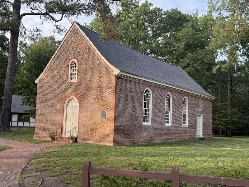
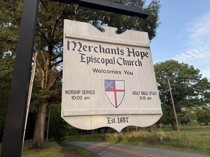
Photographed by Devry Becker Jones (CC0), May 24, 2026
3. Merchant's Hope Episcopal Church Welcome Sign
Credits. This page was last revised on June 3, 2026. It was originally submitted on June 3, 2026, by Devry Becker Jones of Washington, District of Columbia. This page has been viewed 22 times since then. Photos: 1, 2, 3. submitted on June 3, 2026, by Devry Becker Jones of Washington, District of Columbia.
