
Near Goldendale in Klickitat County, Washington — The American West (Northwest)
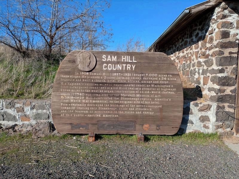
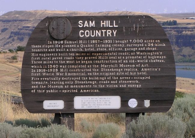
Sam Hill Country
Photographed by Clayton Pickett
1. Present Location of Sam Hill Country Marker - New Location
Erected by Washington State Department of Transportation. (Marker Number 23.)
Topics and series. This historical marker is listed in these topic lists: Agriculture • Industry & Commerce • Religion & Religious Structures • Settlements & Settlers. In addition, it is included in the Quakerism series list. A significant historical year for this entry is 1908.
Location.
this page online

Regionally, this marker is in Washington’s Columbia River Gorge, in the Columbia Basin and in Yakima Valley. It is also in the American Mountain West and in the Lewis & Clark Corridor. Globally, it is in North America, in the Cascade Range, on the Ring of Fire, in the Pacific Rim, in the Western Hemisphere, in the Western World, and in the Anglosphere.
Other nearby markers. At least 8 other markers are within 8 miles of this marker, measured as the crow flies: Stonehenge (about 400 feet away, measured in a direct line); First Sight of the Columbia River (approx. 2.8 miles away in Oregon); Deschutes River Crossing Oregon Trail Kiosk (approx. 6.7 miles
Photographed by Paul Crumlish, August 2, 2010
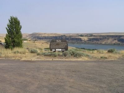
2. Wide view of the Sam Hill Country Marker - Old Location
With the Stonehenge World War I memorial visible just to the left of the marker.
Also see . . . Maryhill Museum of Art. (Submitted on August 15, 2010, by PaulwC3 of Northern, Virginia.)
Photographed by Paul Crumlish, August 2, 2010
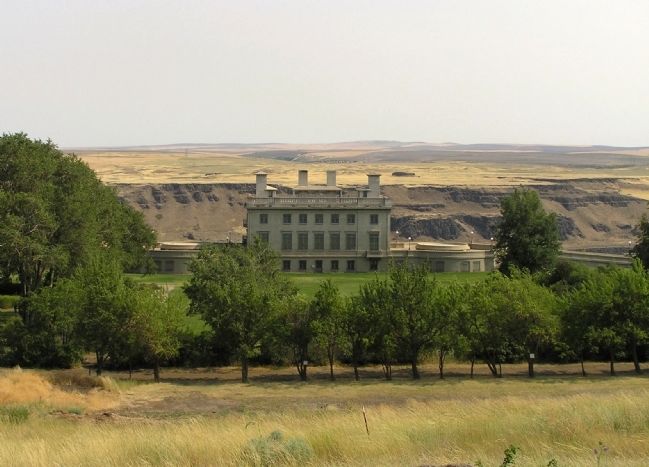
3. Maryhill Museum of Art (1940)
Photographed by Paul Crumlish, August 2, 2010
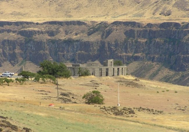
4. Stonehenge
Sitting on a bluff high above the Columbia River, memorial is visible for miles along the river in both Washington and Oregon.
Photographed by Paul Crumlish, August 2, 2010
5. Sam Hill Country Marker - Old Location
Credits. This page was last revised on June 10, 2026. It was originally submitted on August 15, 2010, by PaulwC3 of Northern, Virginia. This page has been viewed 1,873 times since then and 81 times this year. Last updated on June 6, 2026, by Clayton Pickett of Richland, Washington. Photos: 1. submitted on June 6, 2026, by Clayton Pickett of Richland, Washington. 2, 3, 4, 5. submitted on August 15, 2010, by PaulwC3 of Northern, Virginia. • Devry Becker Jones was the editor who published this page.
