
Poquoson, Virginia — The American South (Mid-Atlantic)
Weston Cemetery
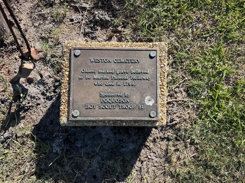
Oldest marked grave believed to be Martha Parsons Holloway who died in 1798.
Erected by Poquoson Boy Scout Troop 51.
Topics. This historical marker is listed in this topic list: Cemeteries & Burial Sites. A significant historical year for this entry is 1798.
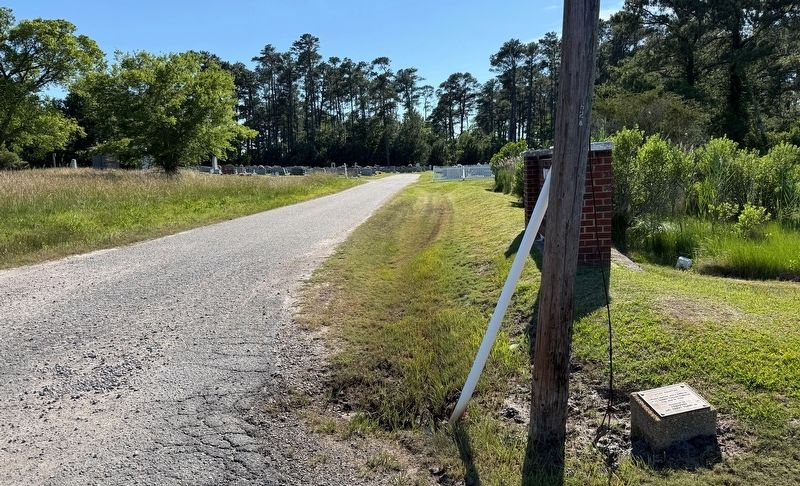
Location. 37° 6.77′ N, 76° 20.555′ W. Marker is in Poquoson, Virginia. It is at the intersection of Poquoson Avenue and Weston Cemetery Lane, on the right when traveling south on Poquoson Avenue. Touch for map. Marker is at or near this postal address: 1446 Poquoson Ave, Poquoson VA 23662, United States of America. Touch for directions.

Regionally, this marker is on Virginia’s Peninsula, in Coastal Virginia, and in the Hampton Roads Metropolitan Area. It is also in the American South, specifically in the Upper South, in the Tidewater, and on the Eastern Seaboard. Globally, it is in the North Atlantic Region, North America, the Western Hemisphere, the Western World, and the Anglosphere. Historically, it finds itself in what was once the territory of the Mississippian Culture, one of the original Thirteen Colonies, one of the Confederate States of
this page online
Other nearby markers. At least 8 other markers are within 2 miles of this marker, measured as the crow flies: Man and the Marsh (approx. 1.4 miles away); Raptors (approx. 1.4 miles away); Atlantic Menhaden / Cownose Ray (approx. 1½ miles away); Native Longleaf Pine Restoration at the Poquoson Museum (approx. 1½ miles away); Antique Farm Equipment Exhibit (approx. 1.6 miles away); Native American Three Sisters Garden (approx. 1.6 miles away); Wash House Restoration (approx. 1.7 miles away); Barn (approx. 1.7 miles away). Touch for a list and map of all markers in Poquoson.
Credits. This page was last revised on June 7, 2026. It was originally submitted on June 7, 2026, by Devry Becker Jones of Washington, District of Columbia. This page has been viewed 10 times since then. Photos: 1, 2. submitted on June 7, 2026, by Devry Becker Jones of Washington, District of Columbia.
