Sunnyside in Yakima County, Washington — The American West (Northwest)
Centennial Square
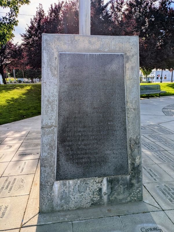
Photographed by Clayton Pickett, June 7, 2026
1. Centennial Square Marker
Topics. This historical marker is listed in these topic lists: Fraternal or Sororal Organizations • Industry & Commerce • Parks & Recreational Areas. A significant historical year for this entry is 1910.
Location. 46° 19.408′ N, 120° 0.805′ W. Marker is in Sunnyside, Washington, in Yakima County. It is at the intersection of East Edison Avenue and South 6th Street, on the right when traveling east on East Edison
this page online

Regionally, this marker is in the Columbia Basin and in Yakima Valley. It is also in the American Mountain West and in the Lewis & Clark Corridor. Globally, it is in North America, in the Cascade Range, on the Ring of Fire, on the Pacific Rim, in the Western Hemisphere, in the Western World, and in the Anglosphere.
Other nearby markers. At least 2 other markers are within walking distance of this marker: H. Lloyd Miller - 1883-1963 (a few steps from this marker); Jerry Taylor Veterans Plaza (approx. ¼ mile away).
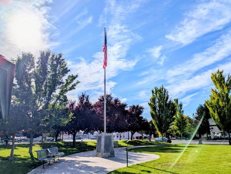
Photographed by Clayton Pickett, June 7, 2026
2. Centennial Square
Credits. This page was last revised on June 10, 2026. It was originally submitted on June 8, 2026, by Clayton Pickett of Richland, Washington. This page has been viewed 12 times since then. Photos: 1, 2. submitted on June 8, 2026, by Clayton Pickett of Richland, Washington. • James Hulse was the editor who published this page.
