Huron in Erie County, Ohio — The American Midwest (Great Lakes)
Ohio Department of Natural Resources Division of Natural Areas and Preserves

Photographed by Craig Doda, June 6, 2026
1. Ohio Department of Natural Resources Division of Natural Areas and Preserves Marker
In 1976, the Ohio Department of Natural Resources created the Division of Natural Areas and Preserves, which administers a statewide system of nature preserves and scenic rivers.
State nature preserves are not parks. Rather, they are sanctuaries for rare plants and animals. For this reason, preserves are best suited for low impact activities such as bird watching, photography, and hiking as opposed to picnicking or camping.
The Ohio Scenic Rivers Act was passed in 1968, the first in the nation. This legislation created a state program Ohio's remaining high quality streams for future generations.
For more information on the Ohio Department of Natural Resources and the Division of Natural Areas and Preserves Contact: Ohio Department of Natural Resources Division of Natural Areas & Preserves
Erected by Ohio Department of Natural Resources Division of Natural Areas & Preserves.
Topics. This historical marker is listed in this topic list: Parks & Recreational Areas. A significant historical year for this entry is 1976.
Location. 41° 24.519′ N, 82° 36.166′ W. Marker is in Huron, Ohio, in Erie County. It is at the
this page online

Regionally, this marker is on the Lake Erie Shore and in the Western Reserve. It is also in the American Midwest and in the Corn Belt. Globally, it is in North America, on the Great Lakes, in the Western Hemisphere, in the Western World, and in the Anglosphere. Historically, it finds itself in what was once the Haudenosaunee (Iroquois) Confederacy, the territory of the Mississippian Culture, and the Northwest Territory.
Other nearby markers. At least 8 other markers are within 3 miles of this marker, measured as the crow flies: First Cedar Point Road (within shouting distance of this marker); Historic Roadway (within shouting distance of this marker); The Firelands (approx. 0.9 miles away); Huron’s First Inhabitants (approx. 1.8 miles away); Electric Interurban Railways / Lake Shore Electric Railway (approx. 2.1 miles away); World War II (approx. 2½
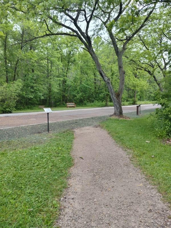
Photographed by Craig Doda, June 6, 2026
2. Ohio Department of Natural Resources Division of Natural Areas and Preserves Marker
Credits. This page was last revised on June 10, 2026. It was originally submitted on June 9, 2026, by Craig Doda of Napoleon, Ohio. This page has been viewed 15 times since then. Photos: 1, 2. submitted on June 9, 2026, by Craig Doda of Napoleon, Ohio. • Devry Becker Jones was the editor who published this page.
