
Downtown Yonge in Toronto, Ontario — Central Canada (North America)
Public Health in Toronto
Photographed by Tim Boyd, June 1, 2026
1. Public Health in Toronto Marker
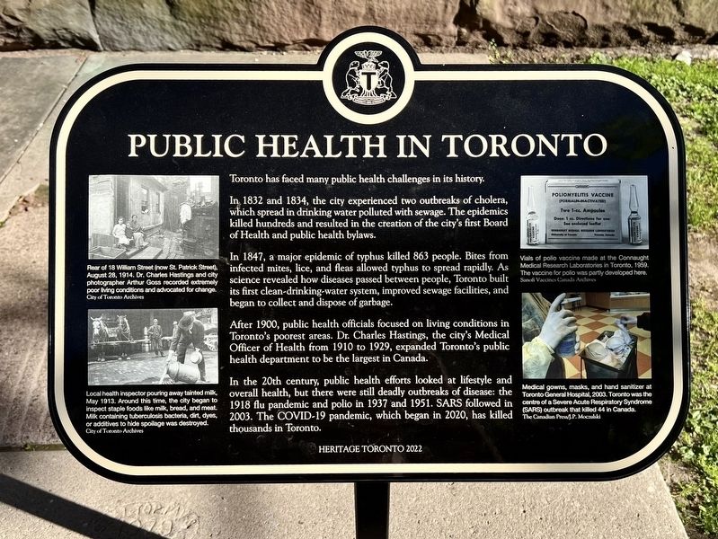
In 1832 and 1834, the city experienced two outbreaks of cholera, which spread in drinking water polluted with sewage. The epidemics killed hundreds and resulted in the creation of the city's first Board of Health and public health bylaws.
In 1847, a major epidemic of typhus killed 863 people. Bites from infected mites, lice, and fleas allowed typhus to spread rapidly. As science revealed how diseases passed between people, Toronto built its first clean-drinking-water system, improved sewage facilities, and began to collect and dispose of garbage.
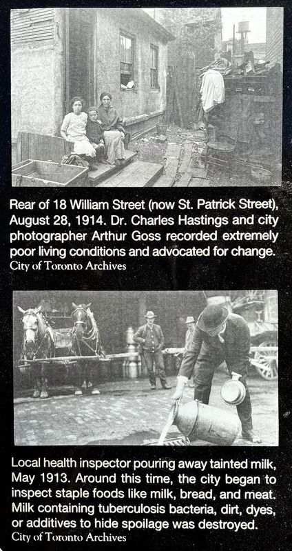
After 1900, public health officials focused on living conditions in Toronto's poorest areas. Dr. Charles Hastings, the city's Medical Officer of Health from 1910 to 1929, expanded Toronto's public health department to be the largest in Canada.
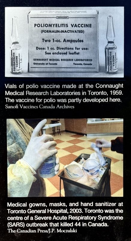
In the 20th century, public health efforts looked at lifestyle and overall health, but there were still deadly outbreaks of disease: the 1918 flu pandemic and polio in 1937 and 1951. SARS followed in 2003. The COVID-19 pandemic, which began in 2020, has killed thousands
this page online
Erected 2022 by Heritage Toronto.
Topics and series. This historical marker is listed in these topic lists: Charity & Public Work • Science & Medicine. In addition, it is included in the Canada, Toronto Heritage series list. A significant historical year for this entry is 1832.
Location. 43° 39.184′ N, 79° 22.906′ W. Marker is in Toronto, Ontario. It is in Downtown Yonge. It is on Albert Street 0.1 kilometers east of Bay Street, on the right when traveling east. Touch for map. Marker is at or near this postal address: 60 Queen Street W, Toronto ON M7Y 2K7, Canada. Touch for directions.

Regionally, this marker is in Greater Toronto and on the Golden Horseshoe. It is also in Central Canada. Globally, it is in North America, the Western Hemisphere, the Western World, and the Anglosphere. Historically, it finds itself in what was once a British colony, the Viceroyalty of New France, the Haudenosaunee (Iroquois) Confederacy, and Rupert’s Land.
Other nearby markers. At least 8 other markers are within walking distance of this marker: Salvation Army Territorial Headquarters (within shouting distance
Photographed by Tim Boyd, June 1, 2026
2. Public Health in Toronto Marker
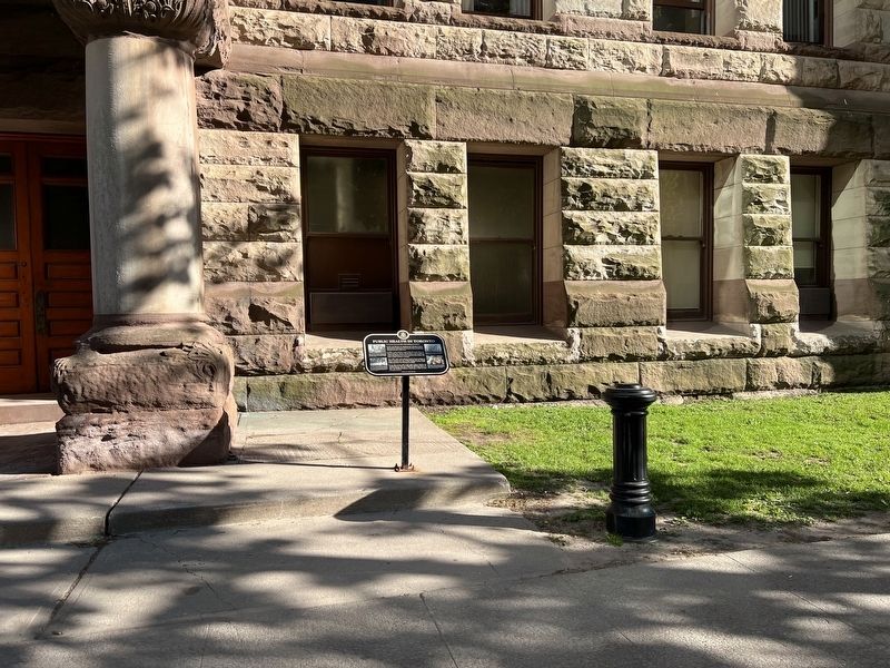
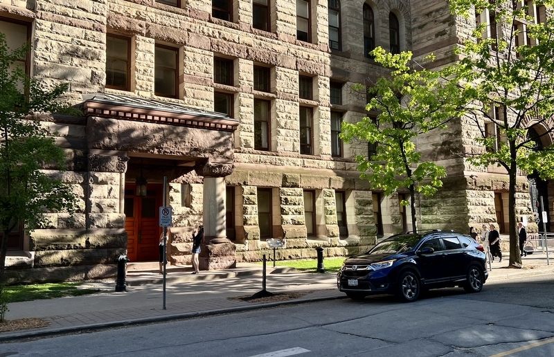
Behind (north side) of Old City Hall
Photographed by Tim Boyd, June 1, 2026
3. Public Health in Toronto marker photos and captions detail (left)
Photographed by Tim Boyd, June 1, 2026
4. Public Health in Toronto marker photos and captions detail (right)
Photographed by Tim Boyd, June 1, 2026
5. Public Health in Toronto Marker
Facing west on Albert Street
Credits. This page was last revised on June 11, 2026. It was originally submitted on June 11, 2026, by Tim Boyd of Hamilton, Ontario. This page has been viewed 6 times since then. Photos: 1, 2, 3, 4, 5. submitted on June 11, 2026, by Tim Boyd of Hamilton, Ontario. • Andrew Ruppenstein was the editor who published this page.
