Flat Rock near Hendersonville in Henderson County, North Carolina — The American South (South Atlantic)
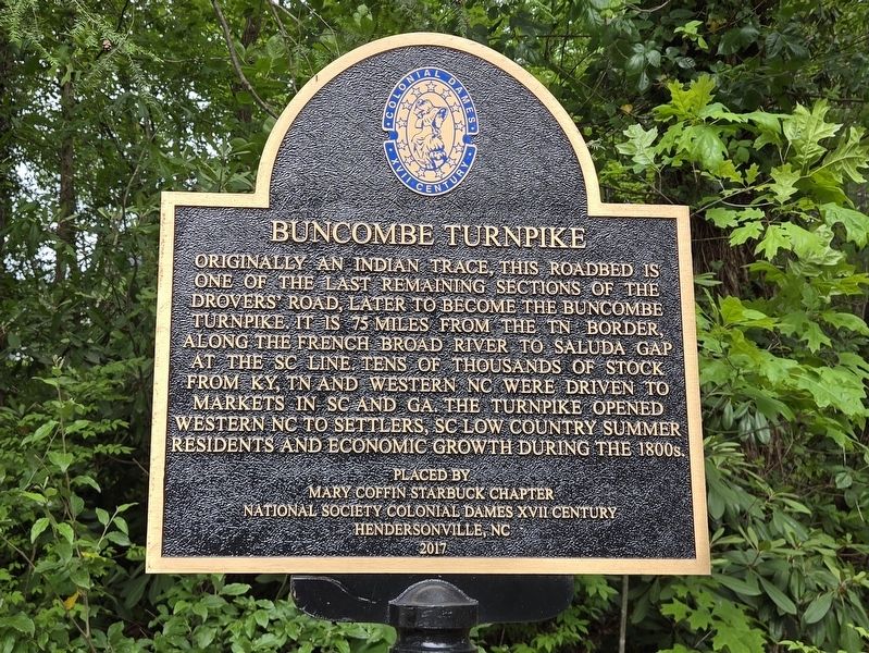
Buncombe Turnpike
Photographed by Mark Parker, June 2, 2026
1. Buncombe Turnpike Marker
Erected 2017 by Mary Coffin Starbuck Chapter National Society Colonial Dames XVII Century.
Topics. This historical marker is listed in these topic lists: Industry & Commerce • Roads & Vehicles • Settlements & Settlers.
Location. 35° 17.377′ N, 82° 27.214′ W. Marker is near Hendersonville, North Carolina, in Henderson County. It is in Flat Rock. It is at the intersection of Dunroy Drive and Flatrock Fields Lane, on the right when traveling west on Dunroy Drive. Touch for map. Marker is in this post office area: Hendersonville NC 28739, United States of America. Touch for directions.

Regionally, this marker is in the Mountains
this page online
Other nearby markers. At least 8 other markers are within walking distance of this marker: Dunroy Home (approx. 0.2 miles away); Hemlocks (approx. 0.3 miles away); Dunroy Quarry (approx. 0.4 miles away); Mountain Lodge (approx. 0.4 miles away); George A. Trenholm (approx. 0.7 miles away); James Brown (approx. ¾ mile away); St. John in the Wilderness (approx. ¾ mile away); a different marker also named St. John in the Wilderness (approx. 0.8 miles away). Touch for a list and map of all markers in Hendersonville.
Related markers. Click here for a list of markers that are related to this marker.
Photographed by Mark Parker, June 2, 2026
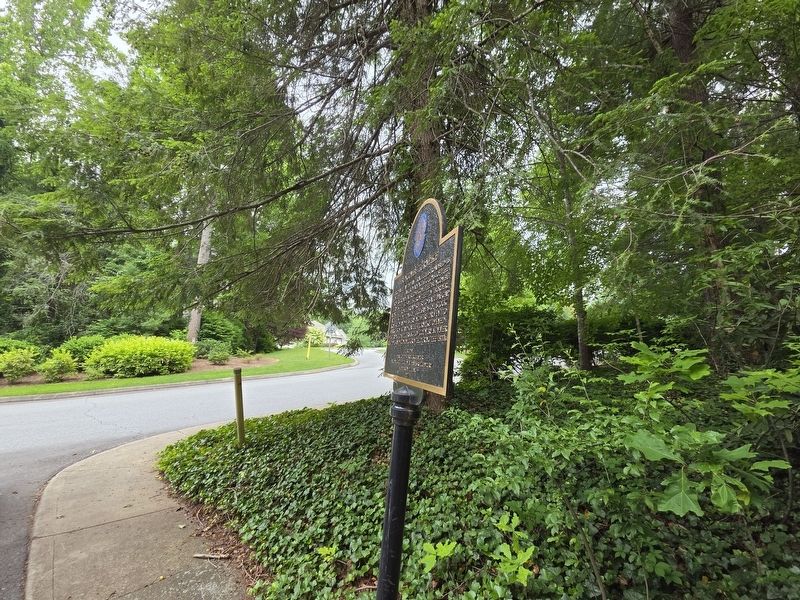
2. Buncombe Turnpike Marker and Dunroy Dr and Flatrock Fields Lane
Photographed by Mark Parker, June 2, 2026
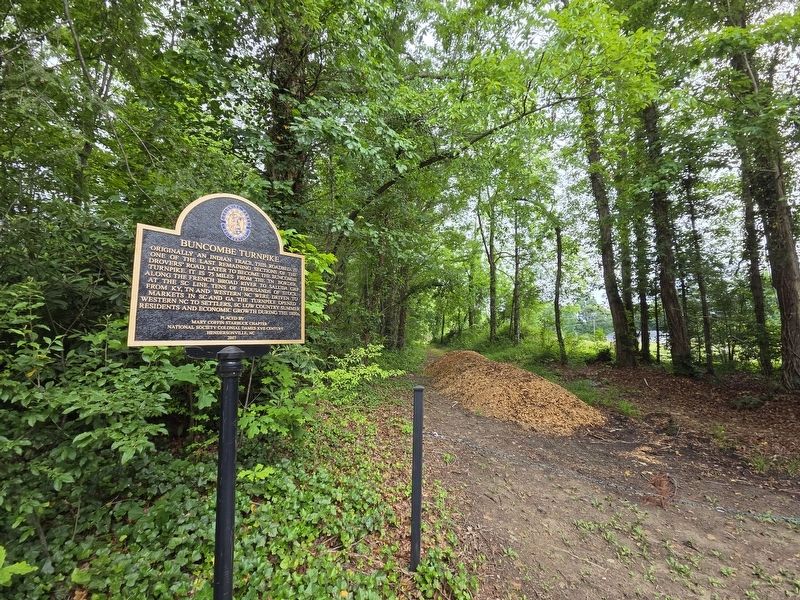
3. Buncombe Turnpike Marker at adjacent trail
Credits. This page was last revised on June 12, 2026. It was originally submitted on June 11, 2026, by Mark Parker of Hickory, North Carolina. This page has been viewed 18 times since then. Photos: 1, 2, 3. submitted on June 11, 2026, by Mark Parker of Hickory, North Carolina. • Bernard Fisher was the editor who published this page.
