Delano in Kern County, California — The American West (Pacific Coastal)
Tomasa Zapata Service Station
Photographed by Craig Baker
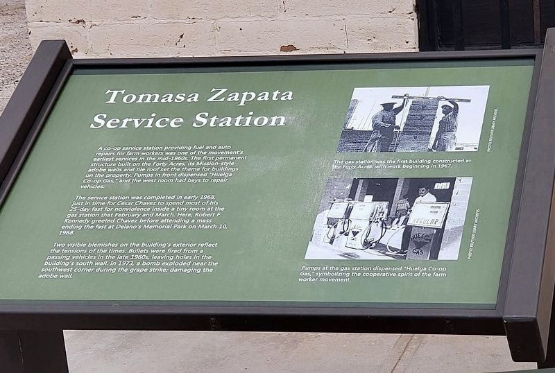
1. Tomasa Zapata Service Station Marker
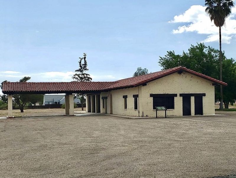
A co-op service station providing fuel and auto repairs for farm workers was one of the movement's earliest services in the mid-1960s. The first permanent structure built on the Forty Acres, its Mission-style adobe walls and tile roof set the theme for buildings on the property. Pumps in front dispensed "Huelga Co-op Gas," and the west room had bays to repair vehicles.
The service station was completed in early 1968, just in time for Cesar Chavez to spend most of hist 25-day fast for nonviolence inside a tiny room at the gas station that February and March. Here, Robert F. Kennedy greeted Chavez before attending a mass ending the fast at Delano's Memorial Park on March 10, 1968.
Two visible blemishes on the building's exterior reflect the tensions of the times. Bullets were fired from a passing vehicles in the late 1960s, leaving holes in the building's south wall. In 1973, a bomb exploded near the southwest corner during the grape strike; damaging the adobe wall.
photo captions:
· The gas station was the first building constructed at the Forty Acres, with work beginning
this page online
· Pumps at the gas station dispensed "Huelga Co-op Gas," symbolizing the cooperative spirit of the farm worker movement.
Topics. This historical marker is listed in these topic lists: Civil Rights • Industry & Commerce. A significant historical year for this entry is 1968.
Location. 35° 45.705′ N, 119° 17.3′ W. Marker is in Delano, California, in Kern County. It is on Garces Highway west of Mettler Avenue, on the right when traveling west. Touch for map. Marker is at or near this postal address: 30168 Garces Hwy, Delano CA 93215, United States of America. Touch for directions.

Regionally, this marker is in the San Joaquin Valley, specifically in the Central Valley, and in the Sierra Nevada. It is also on the American Pacific Coast. Globally, it is in North America, on the Ring of Fire, on the Pacific Rim, in the Western Hemisphere, in the Western World, and in the Anglosphere. Historically, it finds itself in what was once New Spain and also Mexico’s Alta California.
Other nearby markers. At least 5 other markers are within 15 miles of this marker, measured as the crow flies: The Forty Acres (about
Photographed by Craig Baker
2. Tomasa Zapata Service Station and Marker
Photographed by Craig Baker
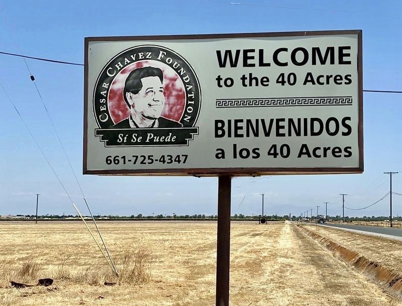
3. Sign at Highway
Credits. This page was last revised on June 12, 2026. It was originally submitted on June 11, 2026, by Craig Baker of Sylmar, California. This page has been viewed 22 times since then. Photos: 1, 2, 3. submitted on June 11, 2026, by Craig Baker of Sylmar, California.
