Hiram Township in Portage County, Ohio — The American Midwest (Great Lakes)
Bowery Site

Photographed by Craig Doda, May 10, 2026
1. Bowery Site Marker
Meetings, especially in inclement weather, were also held in the south schoolhouse, which was located about one mile east of here.
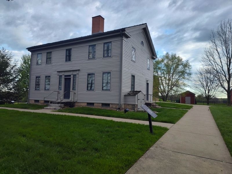
When we reached [Hiram] the people were already assembled in a small bowery; there were about one hundred and fifty or two hundred people present. The meeting had already commenced and Joseph Smith was standing in the door of Father Johnson's house, looking into the bowery and addressing the people. His remarks were confined principally to his own experiences, especially the visitation of the angel, giving a strong and powerful testimony in regard to these marvelous manifestations. As he proceeded he became very strong and powerful, and seemed to affect the whole audience with the feeling that he was honest and sincere.
-Lorenzo Snow
Topics. This historical marker is listed in these topic lists: Man-Made Features • Religion & Religious Structures. A significant historical year for this entry is 1831.
Location. 41° 17.752′ N,
this page online

Regionally, this marker is in Greater Cleveland and in the Western Reserve. It is also in the American Midwest. Globally, it is in North America, the Western Hemisphere, the Western World, and the Anglosphere. Historically, it finds itself in what was once the Haudenosaunee (Iroquois) Confederacy, the territory of the Mississippian Culture, and the Northwest Territory.
Other nearby markers. At least 8 other markers are within 2 miles of this marker, measured as the crow flies: Welcome to Village of Hiram (approx. 1.3 miles away); Circa 1900 (approx. 1½ miles away); The Oliver Plaza (approx. 1.6 miles away); History of Koritansky Hall (approx. 1.6 miles away); James A. Garfield (approx. 1.6 miles away); “Place of Origins” (approx. 1.6 miles away); Black Lives Matter installation
Photographed by Craig Doda, May 10, 2026
2. The John and Elsa Johnson Home
Credits. This page was last revised on June 15, 2026. It was originally submitted on June 13, 2026, by Craig Doda of Napoleon, Ohio. This page has been viewed 10 times since then. Photos: 1, 2. submitted on June 13, 2026, by Craig Doda of Napoleon, Ohio. • Andrew Ruppenstein was the editor who published this page.
