Upper Canada Village in Morrisburg in Stormont Dundas and Glengarry United Counties, Ontario — Central Canada (North America)
Ross Farm House
⎯⎯⎯
La maison de la ferme des Ross
| — | Upper Canada Village | — |
Photographed by Robert Rusaw, May 28, 2026
1. Ross Farm House Marker

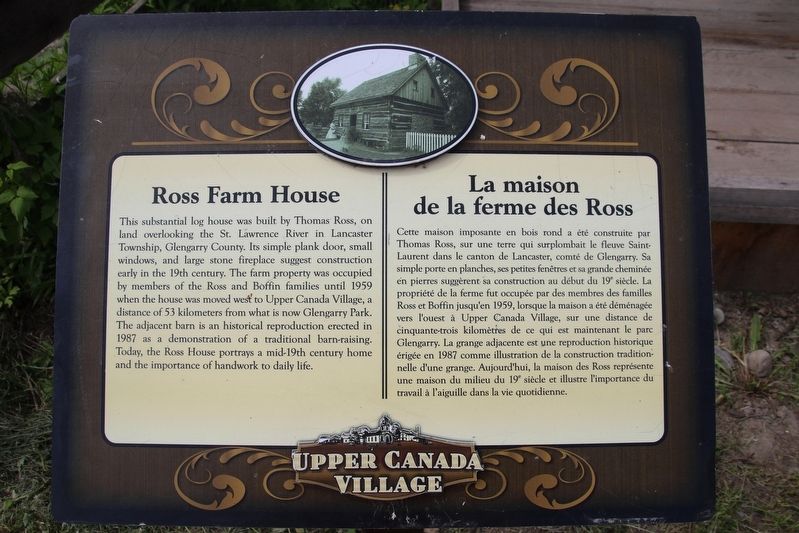
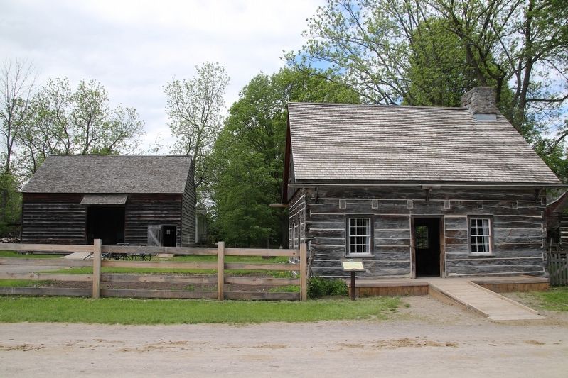
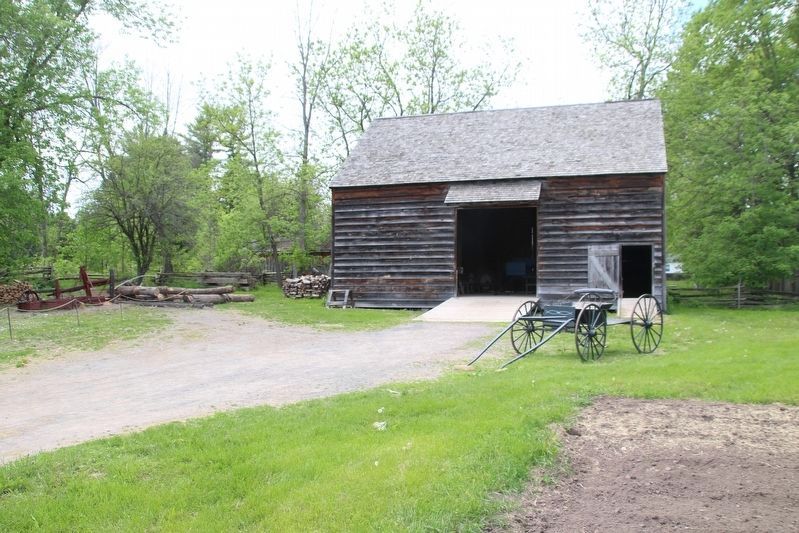
This substantial log house was built by Thomas Ross, on land overlooking the St. Lawrence River in Lancaster Township, Glengarry County. Its simple plank door, small windows, and large stone fireplace suggest construction early in the 19th century. The farm property was occupied by members of the Ross and Boffin families until 1959 when the house was moved west to Upper Canada Village, a distance of 53 kilometers from what is now Glengarry Park. The adjacent barn is an historical reproduction erected in 1987 as a demonstration of a traditional barn-raising. Today, the Ross House portrays a mid-19th century home and the importance of handwork to daily life.
Cette maison imposante en bois rond a été construite par Thomas Ross, sur une terre qui surplombait le fleuve Saint- Laurent dans le canton de Lancaster, comté de Glengarry. Sa simple porte en planches, ses petites fenêtres et sa grande cheminée en pierres suggèrent sa construction au début du 19" siècle. La propriété de la ferme fut occupée par des membres des familles Ross et Boffin jusqu'en 1959, lorsque
this page online
Erected by Upper Canada Village.
Topics. This historical marker is listed in these topic lists: Agriculture • Settlements & Settlers. A significant historical year for this entry is 1959.
Location. 44° 56.878′ N, 75° 3.956′ W. Marker is in Morrisburg, Ontario, in Stormont Dundas and Glengarry United Counties. It is in Upper Canada Village. It can be reached from County Road 2, on the right when traveling east. This marker is in Upper Canada Village. Touch for map. Marker is at or near this postal address: 13790 County Road 2, Morrisburg ON K0C 1X0, Canada. Touch for directions.

Regionally, this marker is in Eastern Ontario. It is also in Central Canada. Globally, it is in North America,
Photographed by Robert Rusaw, May 28, 2026
2. Ross Farm House Marker
Other nearby markers. At least 8 other markers are within walking distance of this marker: McDiarmid House / Maison de McDiarmid (a few steps from this marker); Gazette Printing Office / Imprimerie La Gazette (within shouting distance of this marker); Cabinetmaker's Shop / L'atelier de l'ébéniste (within shouting distance of this marker); Providence Chapel / Église de la Providence (within shouting distance of this marker); Schoolhouse / L'école (about 90 meters away, measured in a direct line); Blacksmith Shop / La Forge (about 90 meters away); Bakery / La boulangerie (about 120 meters away); Willard's Hotel / L'hôtel Willard (about 120 meters away). Touch for a list and map of all markers in Morrisburg.
Photographed by Robert Rusaw, May 28, 2026
3. Ross Farm House Barn
Photographed by Robert Rusaw, May 28, 2026
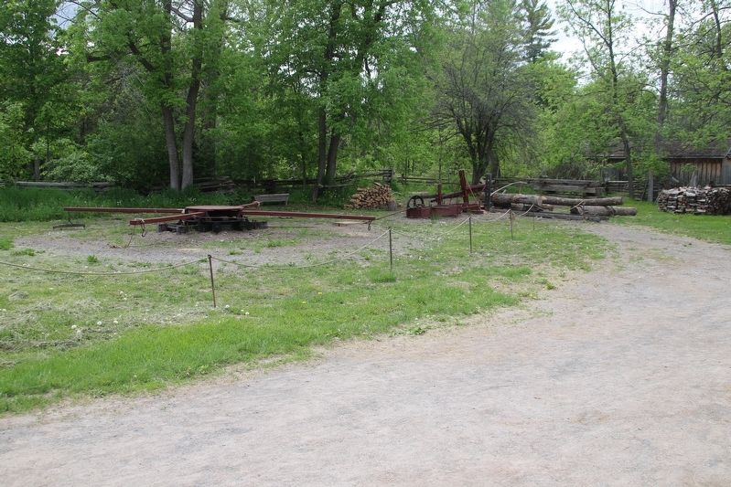
4. Ross Farm House Drag Saw
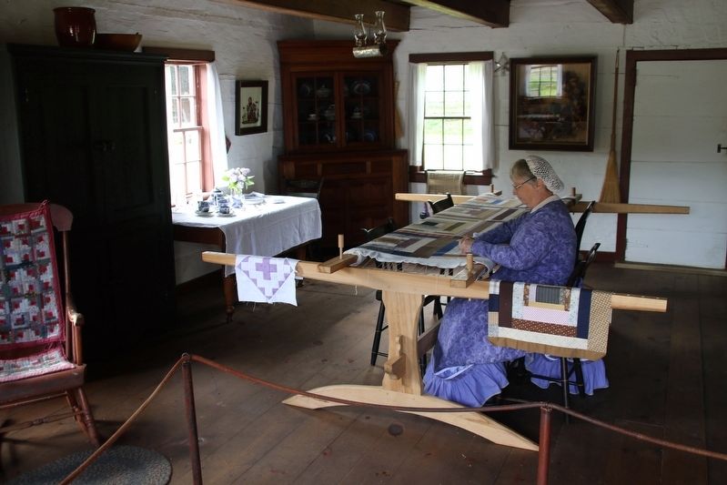
Photographed by Robert Rusaw, May 28, 2026
5. Ross Farm House
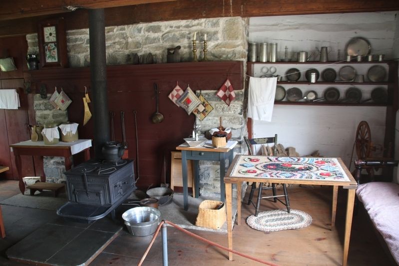
Photographed by Robert Rusaw, May 28, 2026
6. Ross Farm House
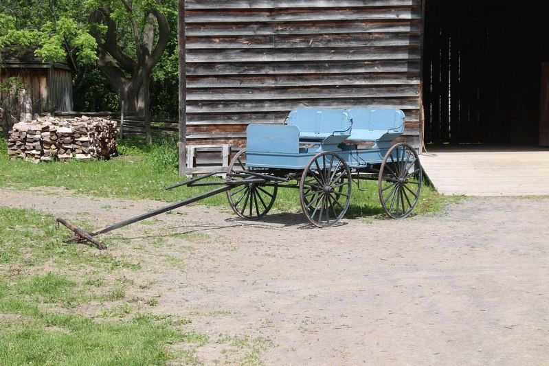
Photographed by Robert Rusaw, June 12, 2026
7. Ross Farm House
Credits. This page was last revised on July 10, 2026. It was originally submitted on June 13, 2026, by Robert Rusaw of Massena, New York. This page has been viewed 18 times since then. Photos: 1, 2, 3, 4, 5, 6. submitted on June 13, 2026, by Robert Rusaw of Massena, New York. 7. submitted on June 16, 2026, by Robert Rusaw of Massena, New York. • Andrew Ruppenstein was the editor who published this page.
