
Cambridge in Dorchester County, Maryland — The American Northeast (Mid-Atlantic)
Robbin's Heritage Center
Waterways & Research
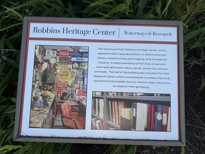
The "David and Polly" Robbins Heritage Center, which opened in 2007, features exhibits on Native American history, market hunting and trapping, and the seafood industry. A replica workshop of Ron Rue, a local and internationally known decoy carver, shows how decoys are made. This half of the building also includes the Todd Research Library, which encompasses countless historical records from Dorchester County. Visitors often come here to research their genealogy.
Erected by Dorchester County Historical Society.
Topics. This historical marker is listed in these topic lists: Animals • Education • Industry & Commerce • Waterways & Vessels. A significant historical year for this entry is 2007.
Location. 38° 33.987′ N, 76° 3.545′ W. Marker is in Cambridge, Maryland, in Dorchester County. It is on Greenway Drive east of Abacco Lane, on the right when traveling east. Touch for map. Marker is at or near this postal address: 1003 Greenway Dr, Cambridge MD 21613, United States of America. Touch for directions.

Regionally, this marker is on the Eastern Shore. It is also in the American Mid-Atlantic, on the
this page online
Other nearby markers. At least 8 other markers are within walking distance of this marker: The Stronghouse (within shouting distance of this marker); Plantation Garden (within shouting distance of this marker); Goldsborough Stable (within shouting distance of this marker); The Meredith House (within shouting distance of this marker); a different marker also named Meredith House (within shouting distance of this marker); LaGrange Plantation (about 300 feet away, measured in a direct line); Turning Numbers into Names… (approx. 0.3 miles away); Shoal Creek (approx. 0.3 miles away). Touch for a list and map of all markers in Cambridge.
Other markers no longer nearby. Robbins Heritage Center (was here, next to this marker but has been replaced with another marker now near it); Annie Oakley Lived Down The Street
Photographed by Devry Becker Jones (CC0), June 13, 2026
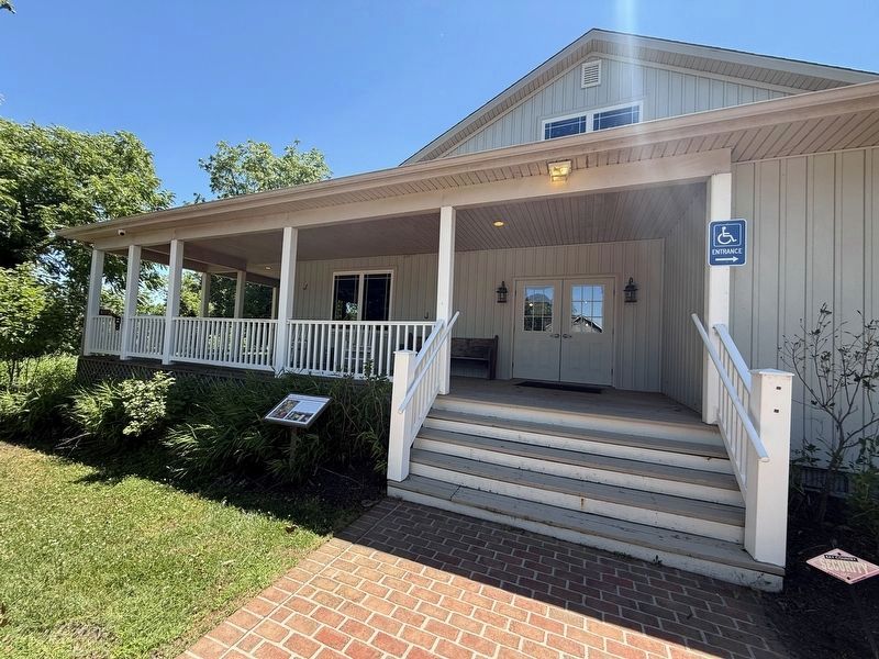
2. Robbin's Heritage Center Marker near the entrance to the center
Credits. This page was last revised on June 14, 2026. It was originally submitted on June 14, 2026, by Devry Becker Jones of Washington, District of Columbia. This page has been viewed 12 times since then. Photos: 1, 2. submitted on June 14, 2026, by Devry Becker Jones of Washington, District of Columbia.
