Rock Hall in Kent County, Maryland — The American Northeast (Mid-Atlantic)
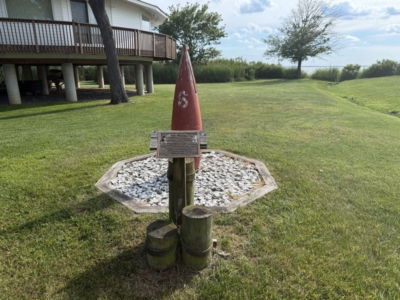
Red Nun #6
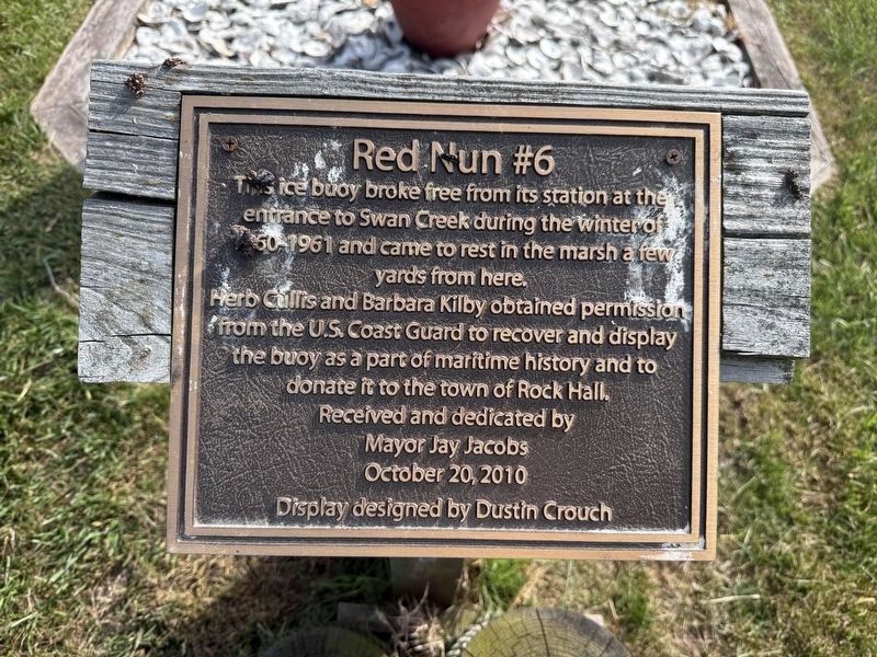
Erected 2010 by Town of Rock Hall; display designed by Dustin Crouch.
Topics. This historical marker is listed in these topic lists: Communications • Waterways & Vessels. A significant historical date for this entry is October 20, 2010.
Location. 39° 8.207′ N, 76° 15.364′ W. Marker is in Rock Hall, Maryland, in Kent County. It is at the intersection of Beach Road and Bay Road, on the right when traveling south on Beach Road. Touch for map. Marker is at or near this postal address: 5754 Beach Rd, Rock Hall MD 21661, United States of America. Touch for directions.

Regionally, this marker is on the Eastern Shore. It is also in the American Mid-Atlantic, on the Delmarva Peninsula, in the Tidewater, in the Chesapeake Bay Region,
this page online
Other nearby markers. At least 8 other markers are within 2 miles of this marker, measured as the crow flies: Gratitude (approx. 0.3 miles away); Attracted By Bounty (approx. 0.4 miles away); Right Place, Right Time (approx. 0.4 miles away); Bounty Below (approx. 0.4 miles away); A Diversion (approx. half a mile away); Rock Hall Landing (approx. ¾ mile away); Veterans Memorial (approx. 1.1 miles away); Rock Hall, Maryland (approx. 1.1 miles away). Touch for a list and map of all markers in Rock Hall.
Credits. This page was last revised on June 14, 2026. It was originally submitted on June 14, 2026, by Devry Becker Jones of Washington, District of Columbia. This page has been viewed 11 times since then. Photos: 1, 2. submitted on June 14, 2026, by Devry Becker Jones of Washington, District of Columbia.
