Spring Hill in Mobile in Mobile County, Alabama — The American South (East South Central)
Spring Hill
Early Nineteenth Century Settlement
Photographed by Georgeann Ellis, June 14, 2026
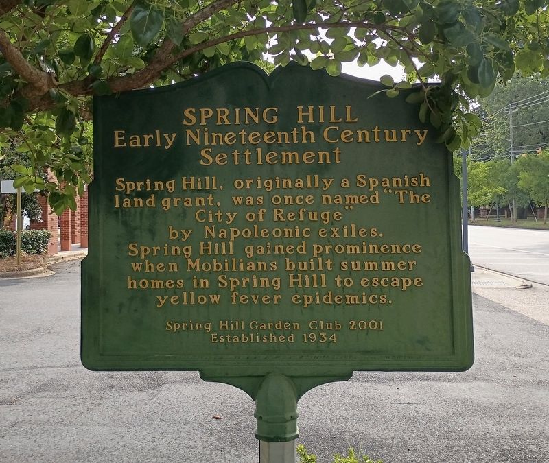
1. View of the West facing side of the Spring Hill Marker
This side of the marker can be seen from the mini park seating area and when walking eastward on the sidewalk.
Spring Hill, originally a Spanish land grant, was once named "The City of Refuge” by Napoleonic exiles. Spring Hill gained prominence when Mobilians built summer homes in Spring Hill to escape yellow fever epidemics.
Erected 2001 by Spring Hill Garden Club (established 1934).
Topics. This historical marker is listed in these topic lists: Immigration • Settlements & Settlers.
Location. 30° 41.857′ N, 88° 8.577′ W. Marker is in Mobile, Alabama, in Mobile County. It is in Spring Hill. It is on Old Shell Road 0.1 miles east of N McGregor Ave, on the right when traveling west. The marker sits in a mini park on the southern edge of the Spring Hill Village Shopping Center. Touch for map. Marker is at or near this postal address: 4358 Old Shell Road, Mobile AL 36608, United States of America. Touch for directions.

Regionally, this marker is on Alabama’s Gulf Coast and in the Mobile Bay area. It is also in the American South, specifically in the Deep South, and on the Gulf Coast. Globally, it is in North America, a Gulf of Mexico state, the Western Hemisphere,
this page online
Other nearby markers. At least 8 other markers are within 4 miles of this marker, measured as the crow flies: Spring Hill Graveyard (approx. 0.3 miles away); Sand Town (approx. half a mile away); Wilmer Hall Children's Home (approx. 0.6 miles away); Miller Family Cemetery (approx. 1½ miles away); Georgia Cottage (approx. 2½ miles away); New Hope Gardens (approx. 2.8 miles away); Visitation Convent and Academy (approx. 3 miles away); The Mitchell Home (approx. 3.4 miles away). Touch for a list and map of all markers in Mobile.
More about this marker. The marker is double sided facing east and west with the same text on both sides. The mini-park was dedicated in May 2011 and has a number of benches sponsored by donors for the design and development of the park. The marker and park reflect on the efforts to enhance the Spring Hill area by improving the pedestrian, aesthetic and commercial
Photographed by Jim Ellis, June 16, 2026
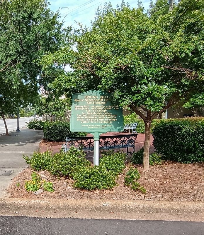
2. View of east facing Spring Hill Marker
Same wording on both sides.
Regarding Spring Hill. Spring Hill is located approximately 6 miles west of the Mobile city center. Spring Hill encompasses hilly areas that make up the highest point in Mobile, approximately 215 feet above sea level. Much of the City of Mobile was and still is located on the flood plain of the present-day Mobile River and Bay estuary, which during the 19th century were then mosquito laden swamps and bayous. The western hills of the time were covered in forested landscapes and freer of the swamps. Spring Hill also became a source of fresh water from number of natural springs then serving the area and later the growing city. The area also became a place where residents and the wealthy could retreat from the summer heat as well as epidemics of diseases then affecting the low-lying areas. Slowly over the years the Spring Hill area grew into a permanent neighborhood that were formally annexed into the city of Mobile in 1956. Notable as well is that in the 1830's the first Roman Catholic Bishop of Mobile acquired land in Spring Hill that became Spring Hill College, a then Jesuit seminary and boarding school and
Photographed by Jim Ellis, June 14, 2026
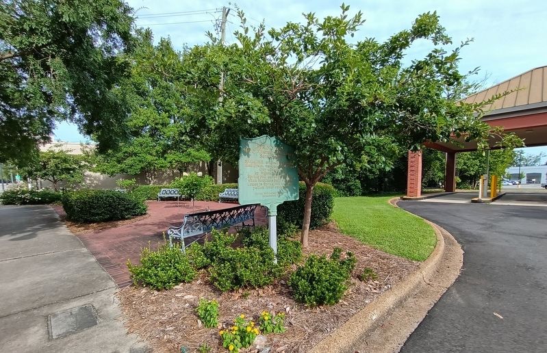
3. View of marker when headed west on Old Shell road and from the exit from the bank drive thru
Sources retrieved 6/14/2026 - "19th Century Spring Hill Neighborhood Thematic Resource". National Register Information System. National Park System.
Also see . . . History of Spring Hill College. Spring Hill College (Submitted on July 18, 2026, by Jim Ellis of Theodore, Alabama.)
Photographed by Jim Ellis, June 14, 2026
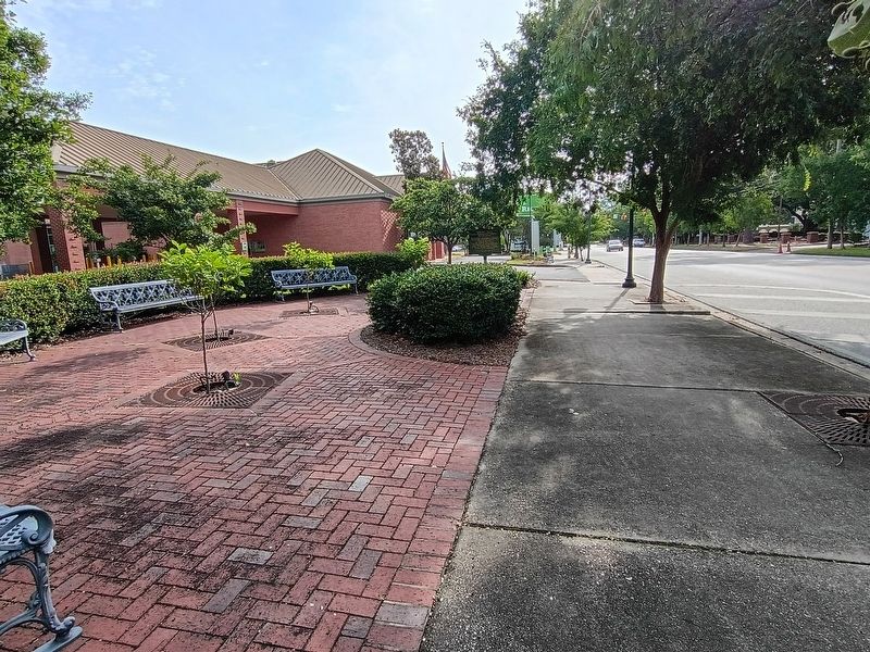
4. View of marker and mini park when approaching from the west on the sidewalk or Old Shell Road
Credits. This page was last revised on July 18, 2026. It was originally submitted on June 14, 2026, by Jim Ellis of Theodore, Alabama. This page has been viewed 38 times since then. Photos: 1, 2, 3, 4. submitted on June 15, 2026, by Jim Ellis of Theodore, Alabama. • James Hulse was the editor who published this page.
