Rhoades Community near Kinston in Coffee County, Alabama — The American South (East South Central)
New Providence Primitive Baptist Church and Rhoades Cemetery
Coffee County
Photographed by Jimmy Emerson, June 10, 2026
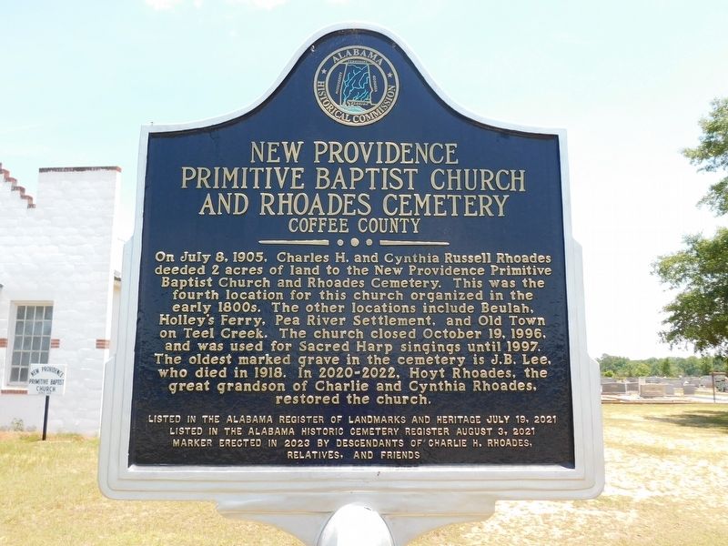
1. New Providence Primitive Baptist Church and Rhoades Cemetery Marker
On July 8, 1905, Charles H. and Cynthia Russell Rhoades deeded 2 acres of land to the New Providence Primitive Baptist Church and Rhoades Cemetery. This was the fourth location for this church organized in the early 1800s. The other locations include Beulah, Holley's Ferry, Pea River Settlement, and Old Town on Teel Creek. The church closed October 19, 1996, and was used for Sacred Harp singings until 1997. The oldest marked grave in the cemetery is J.B. Lee, who died in 1918. In 2020-2022, Hoyt Rhoades, the great grandson of Charlie and Cynthia Rhoades, restored the church.
Listed in the Alabama Historic Cemetery Register August 3, 2021
Erected 2023 by Descendants of Charlie H Rhoades, Relatives and Friends and Alabama Historical Commission.
Topics. This historical marker is listed in these topic lists: Cemeteries & Burial Sites • Entertainment • Religion & Religious Structures. A significant historical year for this entry is 1905.
Location. 31° 15.8′ N, 86° 9.719′ W. Marker is near Kinston, Alabama, in Coffee County.
this page online

Regionally, this marker is in the American South, specifically in the Deep South, and in the Wiregrass. Globally, it is in North America, a Gulf of Mexico state, the Western Hemisphere, the Western World, and the Anglosphere. Historically, it finds itself in what was once the territory of the Mississippian Culture, one of the Confederate States of America, and the Antebellum South.
Other nearby markers. At least 8 other markers are within 11 miles of this marker, measured as the crow flies: Grancer's Ghost (approx. 3.9 miles away); The Depot / Opp, Alabama (approx. 5.7 miles away); Lew Childre (approx. 5.7 miles away); Battle Branch (approx. 7.2 miles away); New Ebenezer Cemetery (approx. 8.8 miles away); Gravesite of Mrs. Alberta Martin, the "Last Link to Dixie" (approx. 8.8 miles away); Site of Curtis School (approx. 9.2 miles away); Wellborn (approx.
Photographed by Jimmy Emerson, June 10, 2026
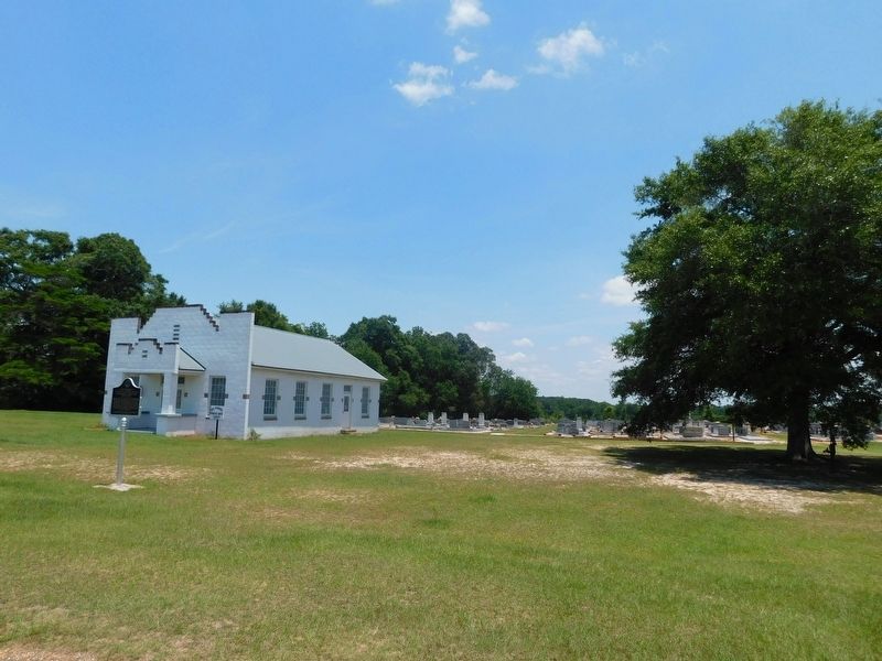
2. New Providence Primitive Baptist Church and Rhoades Cemetery and Marker
Photographed by Jimmy Emerson, June 10, 2026
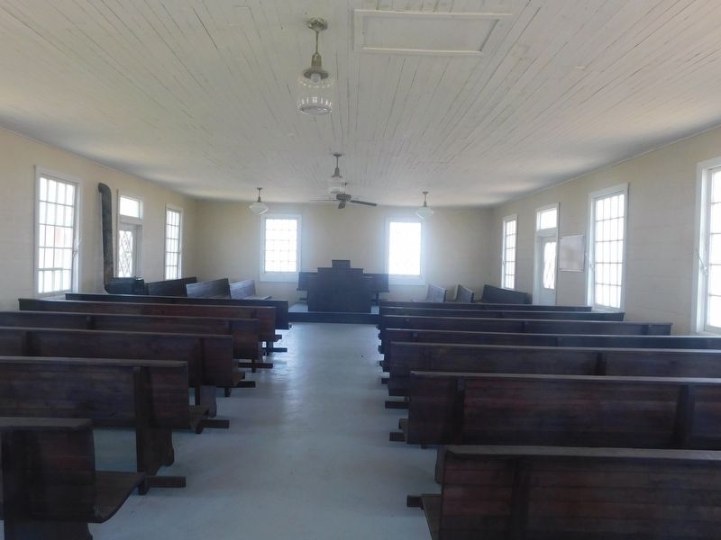
3. New Providence Primitive Baptist Church
Inside the church through the window
Photographed by Jimmy Emerson, June 10, 2026
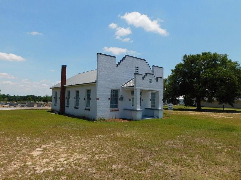
4. New Providence Primitive Baptist Church
Credits. This page was last revised on June 17, 2026. It was originally submitted on June 14, 2026, by Jimmy Emerson of Dalton, Georgia. This page has been viewed 23 times since then. Photos: 1, 2, 3, 4. submitted on June 14, 2026, by Jimmy Emerson of Dalton, Georgia. • James Hulse was the editor who published this page.
