Mankato in Blue Earth County, Minnesota — The American Midwest (Upper Plains)
Riverfront Park
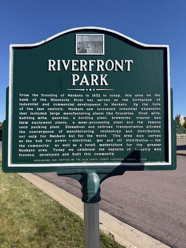
Photographed by Koen Schneidawind, June 14, 2026
1. Riverfront Park Marker
Erected 2009 by Blue Earth County Historical Society.
Topics. This historical marker is listed in these topic lists: Industry & Commerce • Parks & Recreational Areas. A significant historical year for this entry is 1852.
Location. 44° 10.473′ N, 94° 0.012′ W.
this page online

Regionally, this marker is in Southwest Minnesota and specifically in the Minnesota River Valley. It is also in the American Midwest and in the Corn Belt. Globally, it is in North America, the Western Hemisphere, the Western World, and the Anglosphere. Historically, it finds itself in what was once Rupert’s Land and also the territory of the Mississippian Culture.
Other nearby markers. At least 8 other markers are within walking distance of this marker: Reconciliation Park (approx. half a mile away); Minnesota River Steamboating (approx. half a mile away); Dakota (Sioux) Memorial – 1862 (approx. half a mile away); Reconciliation and Remembrance (approx. half a mile away); Korean War (approx. half a mile away); Washington Park / Fourth Street Route Depot Grounds (approx. half a mile away); Wheeler Park Brickyard (approx. 0.6 miles away); Navigating the River (approx. 0.7 miles away). Touch for a list and map
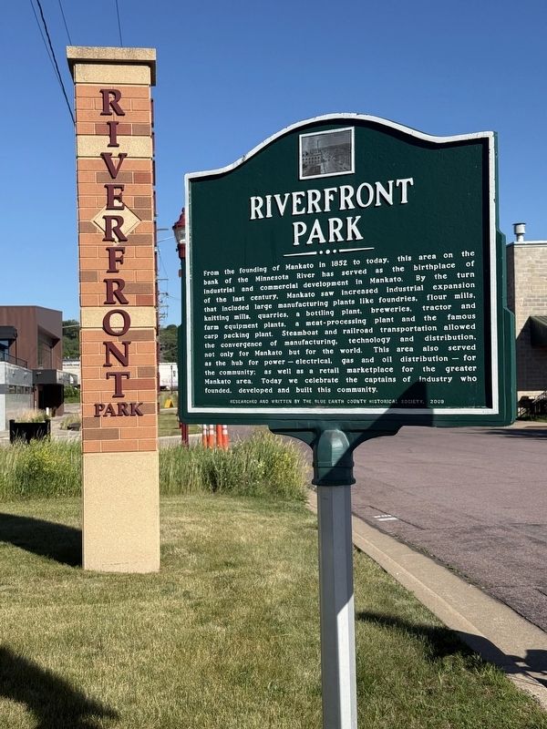
Photographed by Koen Schneidawind, June 14, 2026
2. Riverfront Park Marker
Credits. This page was last revised on July 27, 2026. It was originally submitted on June 15, 2026, by Koen Schneidawind of Mankato, Minnesota. This page has been viewed 14 times since then. Photos: 1, 2. submitted on June 15, 2026, by Koen Schneidawind of Mankato, Minnesota. • Andrew Ruppenstein was the editor who published this page.
