
Yorktown in York County, Virginia — The American South (Mid-Atlantic)
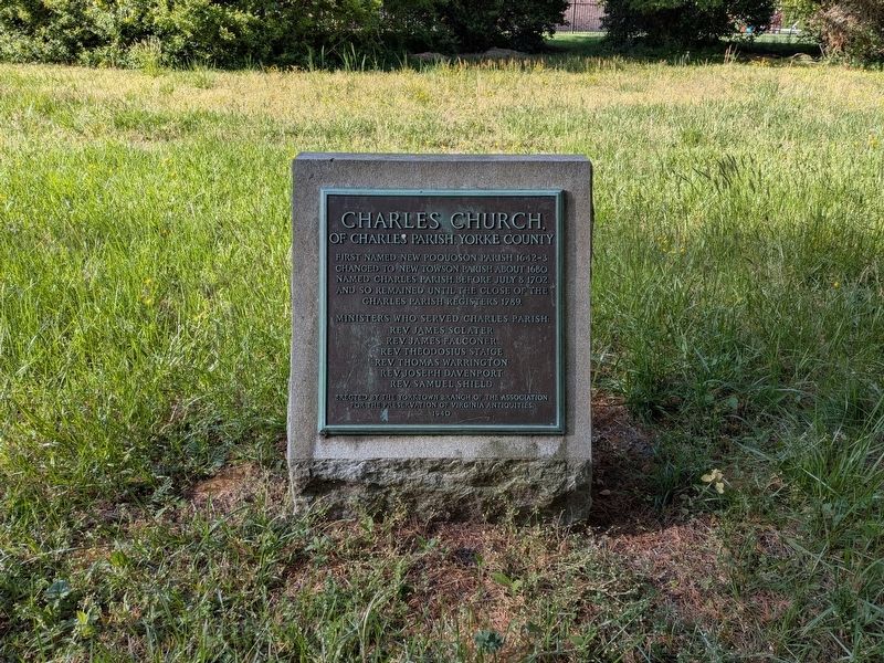
Charles Church,
Of Charles Parish, Yorke County
Photographed by Evan Dwyer, April 21, 2026
1. Charles Church Marker
Changed to New Towson Parish about 1680.
Named Charles Parish, before July 8, 1702,
and so remained until the close of the
Charles Parish registers 1789.
Ministers who served Charles Parish:
Rev. James Sclater
Rev. James Falconer
Rev. Theodosius Staige
Rev. Thomas Warrington
Rev. Joseph Davenport
Rev. Samuel Shield
Erected by the Yorktown branch of the Association
for the Preservation of Virginia Antiquities.
1940
Erected 1940 by Yorktown Branch, Association for the Preservation of Virginia Antiquities.
Topics. This historical marker is listed in these topic lists: Colonial Era • Religion & Religious Structures • Settlements & Settlers. A significant historical date for this entry is July 8, 1702.
Location. 37° 7.717′ N, 76° 26.325′ W. Marker is in Yorktown, Virginia, in York County. It can be reached from Yorktown Road (Virginia Route 706) 0.1 miles west of Marvin Lane, on the left when traveling east. Marker is in a field owned by York County, just west of the parking lot for the modern Charles Church Christian Life Center. Touch for map. Marker is at or
this page online

Regionally, this marker is on Virginia’s Peninsula, in Coastal Virginia, and in the Hampton Roads Metropolitan Area. It is also in the American South, specifically in the Upper South, in the Tidewater, and on the Eastern Seaboard. Globally, it is in the North Atlantic Region, North America, the Western Hemisphere, the Western World, and the Anglosphere. Historically, it finds itself in what was once the territory of the Mississippian Culture, one of the original Thirteen Colonies, one of the Confederate States of America, and the Antebellum South.
Other nearby markers. At least 8 other markers are within 3 miles of this marker, measured as the crow flies: A different marker also named Charles Church (approx. one mile away); Poquoson (approx. 2 miles away); Veterans Memorial (approx. 2.4 miles away); George W. Dickerson (approx. 2.4 miles away); Big Bethel Church and Cemetery (approx. 2½ miles away); Big Bethel UDC Monument (approx. 2½ miles away); Battle of Big Bethel (approx. 2.6 miles away); a different
Photographed by Evan Dwyer, April 21, 2026
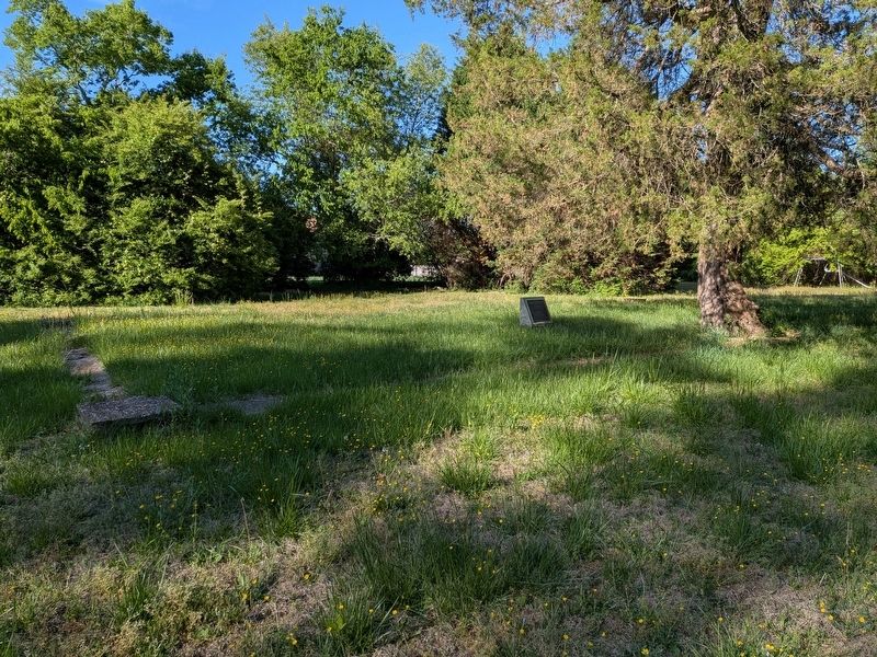
2. Charles Church Marker
There is a foundation outline showing the church's site and shape around the marker.
Another marker is no longer nearby. York County / Warwick County (was approx. 2.1 miles away but has been confirmed missing).
Photographed by Evan Dwyer, April 21, 2026
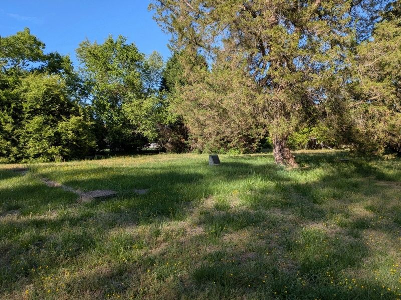
3. Charles Church Marker
View from the southwest of the foundation site & marker.
Credits. This page was last revised on June 17, 2026. It was originally submitted on June 16, 2026, by Evan Dwyer of Richmond, Virginia. This page has been viewed 27 times since then. Photos: 1, 2, 3. submitted on June 16, 2026, by Evan Dwyer of Richmond, Virginia. • Bernard Fisher was the editor who published this page.
