Near Eldridge in Walker County, Alabama — The American South (East South Central)
Eldridge Mallard Toll Booth
Walker County
Photographed by Jimmy Emerson, June 14, 2026
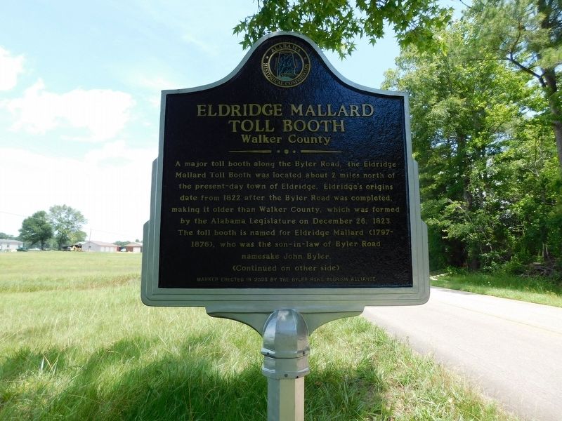
1. Eldridge Mallard Toll Booth Marker
A major toll booth along the Byler Road, the Eldridge Mallard Toll Booth was located about 2 miles north of the present-day town of Eldridge. Eldridge's origins date from 1822 after the Byler Road was completed, making it older than Walker County, which was formed by the Alabama Legislature on December 26, 1823. The toll booth is named for Eldridge Mallard (1797- 1876), who was the son-in-law of Byler Road namesake John Byler.
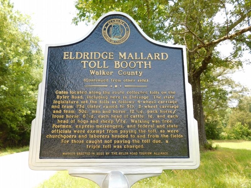
(Reverse Side)
Gates located along the route collected tolls on the Byler Road, including here in Eldridge. The state legislature set the tolls as follows: 4-wheel carriage and team: 75¢ (later raised to $1), 2-wheel carriage and team: 50¢, man and horse: 12½¢, pack horse/loose horse: 6¼¢, each head of cattle: 1¢, and each head of hogs and sheep ½¢. Walking was free. Postmen, express messengers, and federal and state officials were exempt from paying the toll, as were churchgoers and laborers headed to and from the fields. For those caught not paying the toll due, a triple toll was charged.
Erected 2026 by Byler Road Tourism Alliance and Alabama Historical Commission.
Topics.
this page online
Location. 33° 55.889′ N, 87° 36.486′ W. Marker is near Eldridge, Alabama, in Walker County. It is on Byler Road (County Road 1) 0.2 miles north of Lovers Lane, on the left when traveling north. Touch for map. Marker is at or near this postal address: 629 Byler Rd, Eldridge AL 35554, United States of America. Touch for directions.

Regionally, this marker is in the Birmingham Metropolitan Area. It is also in the American South and specifically in the Deep South. Globally, it is in North America, a Gulf of Mexico state, the Western Hemisphere, the Western World, and the Anglosphere. Historically, it finds itself in what was once the territory of the Mississippian Culture, one of the Confederate States of America, and the Antebellum South.
Other nearby markers. At least 8 other markers are within 8 miles of this marker, measured as the crow flies: Camp Springs / The Junction (approx. 0.8 miles away); Broun School (approx. 3.3 miles away); History of Kansas (approx.
Photographed by Jimmy Emerson, June 14, 2026
2. Eldridge Mallard Toll Booth Marker
Photographed by Jimmy Emerson, June 14, 2026
3. Eldridge Mallard Toll Booth Marker
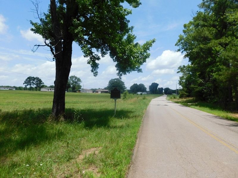
Located near the original location of the toll booth
Credits. This page was last revised on June 17, 2026. It was originally submitted on June 16, 2026, by Jimmy Emerson of Dalton, Georgia. This page has been viewed 18 times since then. Photos: 1, 2, 3. submitted on June 16, 2026, by Jimmy Emerson of Dalton, Georgia. • James Hulse was the editor who published this page.
