Cordova in Walker County, Alabama — The American South (East South Central)
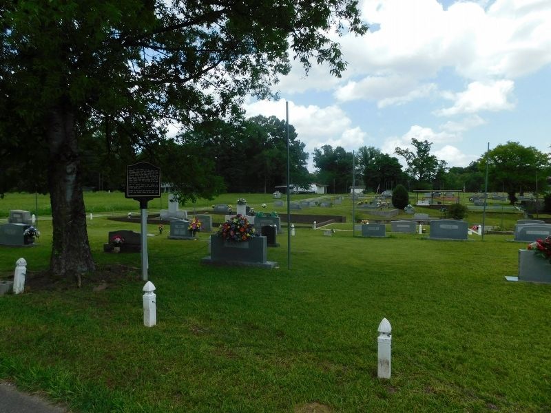
Union Chapel Cemetery

Photographed by Jimmy Emerson, June 14, 2026
1. Union Chapel Cemetery Marker
Topics. This historical marker is listed in this topic list: Cemeteries & Burial Sites. A significant historical year for this entry is 1922.
Location. 33° 49′ N, 87° 10.862′ W. Marker is in Cordova, Alabama, in Walker County. It is at the intersection of Buttermilk Road and Union Chapel Loop, on the left when traveling south on Buttermilk Road. Touch for map. Marker is at or near this postal address: 330 Buttermilk Rd, Cordova AL 35550, United States of America. Touch for directions.

Regionally, this marker is in the Birmingham
this page online
Other nearby markers. At least 8 other markers are within 6 miles of this marker, measured as the crow flies: Union Chapel Methodist Episcopal Church Cemetery (within shouting distance of this marker); City Of Cordova (approx. 4 miles away); Daily Mountain Eagle (approx. 4.8 miles away); Town of Sipsey (approx. 5.4 miles away); Carl Atwood Elliott (approx. 5½ miles away); Walker County War Memorial (approx. 5.6 miles away); Confederate Monument (approx. 5.6 miles away); Sergeant William Jasper (approx. 5.6 miles away). Touch for a list and map of all markers in Cordova.
Photographed by Jimmy Emerson, June 14, 2026
2. Union Chapel Cemetery Marker
Credits. This page was last revised on June 17, 2026. It was originally submitted on June 16, 2026, by Jimmy Emerson of Dalton, Georgia. This page has been viewed 14 times since then. Photos: 1, 2. submitted on June 16, 2026, by Jimmy Emerson of Dalton, Georgia. • James Hulse was the editor who published this page.
