
Near Madison in Ripley County, Indiana — The American Midwest (Great Lakes)
Morgan Targets Versailles
John Hunt Morgan Heritage Trail
Photographed by Tom Bosse, October 14, 2016
1. Morgan Targets Versailles Marker
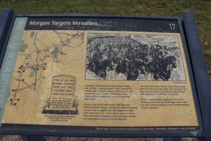
Hurriedly vacating Dupont early Sunday morning, July 12, 1863, General Morgan's 2,000 cavalrymen headed east. A Dupont resident, Thomas Stout, was commandeered as a guide. The raiders passed numerous farms destroying crops and gathering fresh horses.
Along a road which exists today in the Big Oaks National Wildlife Refuge, formerly the Jefferson Proving Ground, three stragglers who had stopped for water were captured by two Union officers home on leave. They were taken to Madison where an angry Hoosier mob threatened to lynch the three prisoners.
The main Confederate column reached Bryantsburg from the west and turned north. The unfortunate Mr. Stout, his horse taken by Raiders, was released and walked the 12 miles back to his home.
At this location, Morgan divided his command, sending a section up the old Michigan Road, while the main column continued on the planked Madison Road to Versailles.
Erected by Historic Hoosier Hills RC&D. (Marker Number 17.)
Topics and series. This historical marker is listed in this topic list: War, US Civil. In addition, it is included in the John Hunt Morgan Heritage Trail in Indiana
this page online
Location. 38° 55.594′ N, 85° 21.595′ W. Marker has been reported unreadable. Marker is near Madison, Indiana, in Ripley County. It is at the intersection of South Old Michigan Road and U.S. 421, on the left when traveling west on South Old Michigan Road. Touch for map. Marker is in this post office area: Madison IN 47250, United States of America. Touch for directions.

Regionally, this marker is in Southern Indiana. It is also in the American Midwest and in the Corn Belt. Globally, it is in North America, the Western Hemisphere, the Western World, and the Anglosphere. Historically, it finds itself in what was once the territory of the Mississippian Culture and also the Northwest Territory.
Other nearby markers. At least 8 other markers are within 11 miles of this location, measured as the crow flies: Samuel Woodfill (approx. 3.7 miles away); Gen. John Morgan's Troops (approx. 7 miles away); Buchanan's Station (approx. 8.4 miles away); Dupont: Fourth Night in Indiana (approx. 8.9 miles away); Morgan's Troops Camped Here (approx. 9 miles away); Morgan's Raid (approx.
Photographed by Tom Bosse, June 13, 2026
2. Morgan Targets Versailles Marker
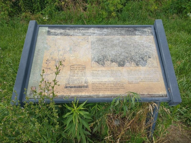
The marker has significantly weathered and is hard to interpret.
Photographed by Tom Bosse, October 14, 2016
3. Morgan Targets Versailles Marker
Credits. This page was last revised on June 18, 2026. It was originally submitted on November 27, 2016, by Tom Bosse of Jefferson City, Tennessee. This page has been viewed 1,016 times since then and 73 times this year. Last updated on June 17, 2026, by Tom Bosse of Jefferson City, Tennessee. Photos: 1. submitted on November 27, 2016, by Tom Bosse of Jefferson City, Tennessee. 2. submitted on June 17, 2026, by Tom Bosse of Jefferson City, Tennessee. 3. submitted on November 27, 2016, by Tom Bosse of Jefferson City, Tennessee. • Devry Becker Jones was the editor who published this page.
