Forestville/Mystery Cave State Park near Preston in Fillmore County, Minnesota — The American Midwest (Upper Plains)
Forestville Gristmill
Photographed by McGhiever, October 4, 2025
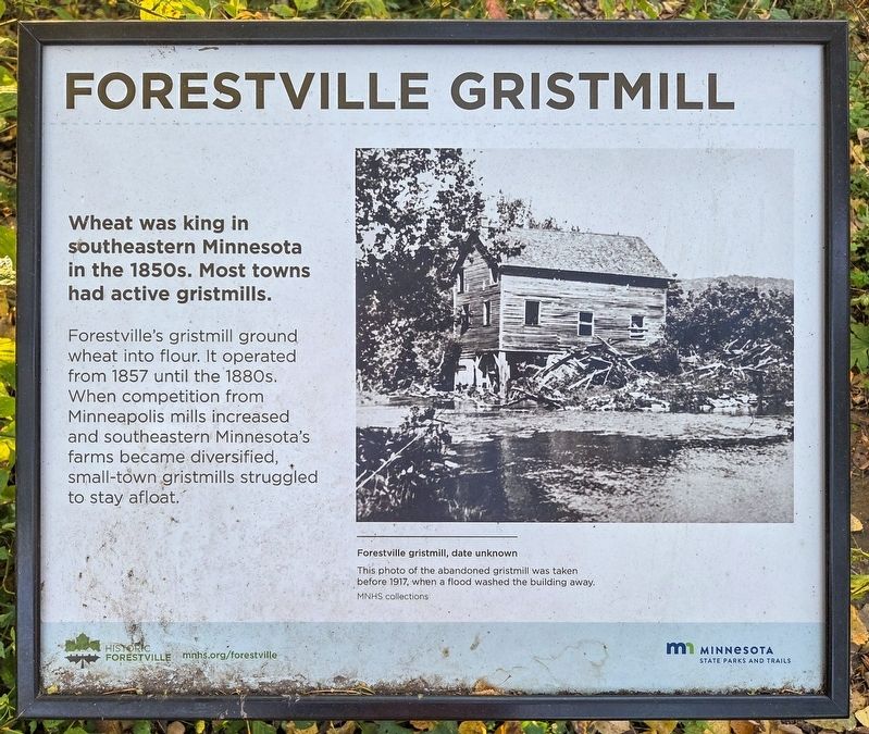
1. Forestville Gristmill Marker
Wheat was king in southeastern Minnesota in the 1850s. Most towns had active gristmills.
Forestville's gristmill ground wheat into flour. It operated from 1857 until the 1880s. When competition from Minneapolis mills increased and southeastern Minnesota's farms became diversified, small-town gristmills struggled to stay afloat.
Forestville gristmill, date unknown
This photo of the abandoned gristmill was taken before 1917, when a flood washed the building away.
MNHS collections
Erected by the Minnesota Historical Society.
Topics. This historical marker is listed in these topic lists: Agriculture • Industry & Commerce. A significant historical year for this entry is 1857.
Location. 43° 38.48′ N, 92° 13.102′ W. Marker is near Preston, Minnesota, in Fillmore County. It is in Forestville/Mystery Cave State Park. It can be reached from County Road 118, on the left when traveling east. The marker is on the south bank of the Root River near the picnic shelter. Touch for map. Marker is in this post office area: Preston MN 55965, United States of America. Touch for directions.

Regionally, this marker is in
this page online
Other nearby markers. At least 8 other markers are within walking distance of this marker: Explore Minnesota's Hardwoods at Forestville/Mystery Cave State Park (about 300 feet away, measured in a direct line); Forestville Sawmill (about 800 feet away); Meighen Icehouse (approx. 0.2 miles away); Bridges (approx. 0.2 miles away); Forestville (approx. 0.2 miles away); Historic Forestville (approx. 0.2 miles away); Bridges at Forestville (approx. 0.2 miles away); South Branch of the Root River (approx. 0.2 miles away). Touch for a list and map of all markers in Preston.
Photographed by McGhiever, October 4, 2025
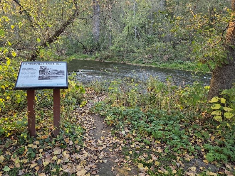
2. Forestville Gristmill Marker overlooking the Root River
Credits. This page was last revised on June 19, 2026. It was originally submitted on June 19, 2026, by McGhiever of Minneapolis, Minnesota. This page has been viewed 19 times since then. Photos: 1, 2. submitted on June 19, 2026, by McGhiever of Minneapolis, Minnesota.
