Brooklyn Heights in Kings County, New York — The American Northeast (Mid-Atlantic)
Garden Place
Photographed by Jack DePalma, September 16, 2025
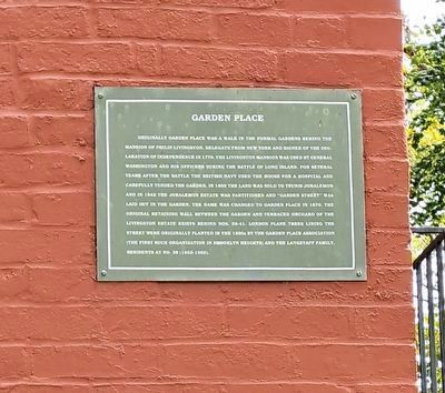
1. Garden Place Marker
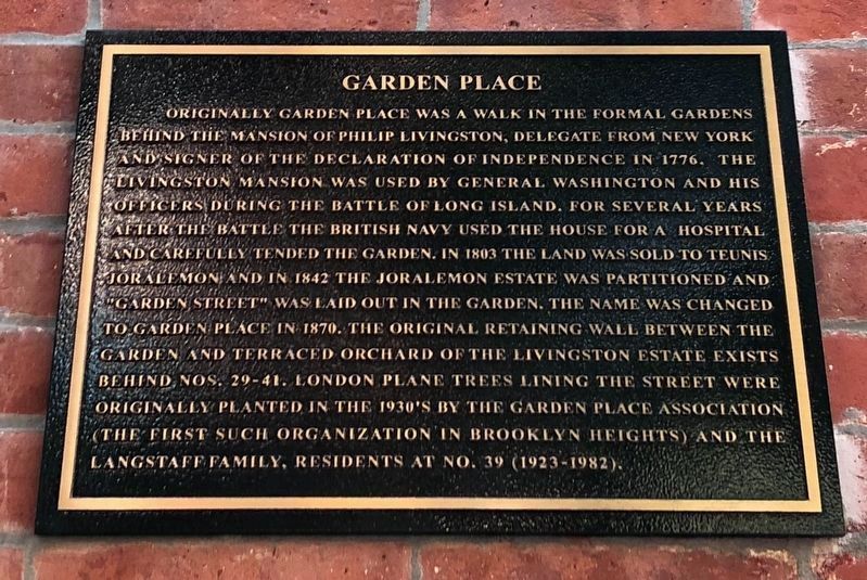
Originally Garden Place was a walk in the formal gardens behind the mansion of Philip Livingston, delegate from New York and signer of the Declaration of Independence in 1776. The Livingston Mansion was used by General Washington and his officers during the Battle of Long Island, For several years after the battle the British Navy used the house for a hospital and carefully tended the garden. In 1803 the land was sold to Teunis Joralemon; and in 1842 the Joraleman estate was partitioned and "Garden Street" was laid out in the garden. The name was changed to Garden Place in 1870. The original retaining wall between the garden and the terraced orchard of the Livingston estate exits behind nos. 29-41. London plane trees lining the street were originally planted in the 1930's by the Garden Place Association (the first such organization in Brooklyn Heights) and the Langstaff family, residents at no. 39 (1923-1982).
Topics. This historical marker is listed in these topic lists: Colonial Era • Military • War, US Revolutionary. A significant historical year for this entry is 1776.
Location. 40° 41.595′ N, 73° 59.763′ W.
this page online

Regionally, this marker is in New York City and on Long Island. It is also in the American Northeast, in the Mid-Atlantic, and on the Eastern Seaboard. Globally, it is in the North Atlantic Region, North America, the Western Hemisphere, the Western World, and the Anglosphere. Historically, it finds itself in what was once New Netherland and also one of the original Thirteen Colonies.
Other nearby markers. At least 8 other markers are within walking distance of this marker: Circa 1846 (here, next to this marker); Henry Miller (about 500 feet away, measured in a direct line); Arthur Miller (approx. 0.2 miles away); Thomas Wolfe (approx. 0.2 miles away); 133 Clinton Street (approx. 0.2 miles away); Adam Yauch Playground (approx. 0.2 miles away); W.H. Auden (approx. 0.2 miles away); Brooklyn Heights / Downtown Brooklyn
Photographed by Jack DePalma, September 16, 2025
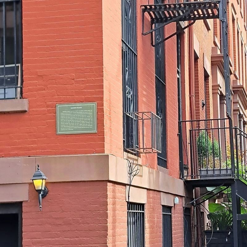
2. Garden Place Marker
Additional keywords. Garden Place Stable House
Photographed by Devry Becker Jones (CC0), September 10, 2021
3. Garden Place Marker
This is a photo of a prior iteration of the marker.

Photographed by Jack DePalma, March 9, 2026
4. Tree Marker dedicated to Tom Stofka. Brooklyn Chief of Foreztry May 2004

Photographed by Jack DePalma, March 9, 2026
5. Tree and Garden Place Marker
Credits. This page was last revised on June 23, 2026. It was originally submitted on September 12, 2021, by Devry Becker Jones of Washington, District of Columbia. This page has been viewed 1,461 times since then and 152 times this year. Last updated on June 20, 2026, by Carl Gordon Moore Jr. of North East, Maryland. Photos: 1, 2. submitted on September 17, 2025, by Jack DePalma of Brooklyn,NY, New York. 3. submitted on September 12, 2021, by Devry Becker Jones of Washington, District of Columbia. 4, 5. submitted on March 9, 2026, by Jack DePalma of Brooklyn,NY, New York.
