Milton-Freewater in Umatilla County, Oregon — The American West (Northwest)
Ezra Meeker Memorial
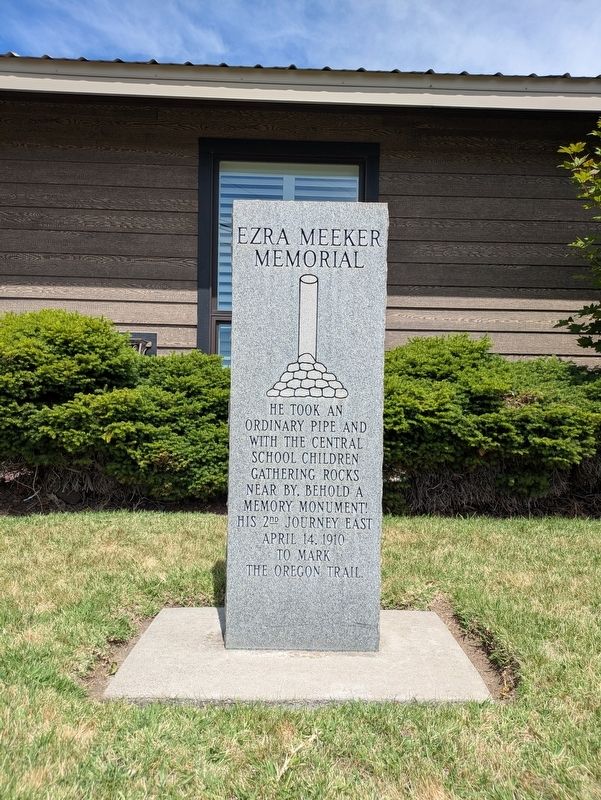
Photographed by Clayton Pickett, June 20, 2026
1. Ezra Meeker Memorial Marker
Topics. This historical marker and memorial is listed in these topic lists: Roads & Vehicles • Settlements & Settlers. A significant historical date for this entry is April 14, 1910.
Location. 45° 56.105′ N, 118° 23.396′ W. Marker is in Milton-Freewater, Oregon, in Umatilla County. It is at the intersection of South Main Street and South Elizabeth Street, on the right when traveling north on South Main Street. Touch for map. Marker is at or near this postal address: 139 S Main St, Milton Freewater OR 97862, United States of America. Touch for directions.

Regionally, this marker and memorial is in Eastern Oregon. It is also in the American Mountain West and in the Lewis & Clark Corridor. Globally, it is in North America, on the Pacific Rim, in the Western Hemisphere, in the Western World, and in the Anglosphere.
Other nearby markers. At least 8 other markers are within 8 miles of this marker, measured as the crow flies: Marie Dorion Monument (approx.
this page online
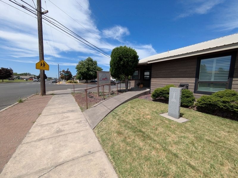
Photographed by Clayton Pickett, June 20, 2026
2. Ezra Meeker Memorial
Credits. This page was last revised on June 28, 2026. It was originally submitted on June 20, 2026, by Clayton Pickett of Richland, Washington. This page has been viewed 26 times since then. Photos: 1, 2. submitted on June 20, 2026, by Clayton Pickett of Richland, Washington. • James Hulse was the editor who published this page.
