
Pine Grove in Schuylkill County, Pennsylvania — The American Northeast (Mid-Atlantic)
Buried Here
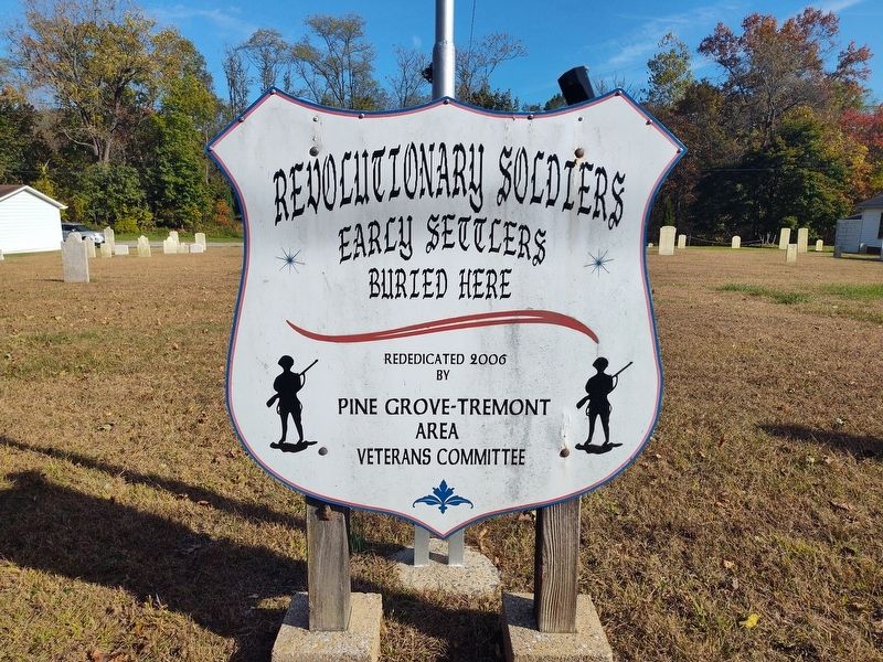
Photographed by Craig Doda, October 18, 2025
1. Revolutionary Soldiers Marker
Early settlers
Buried here
Erected 2006 by Pine Grove-Tremont Area Veterans Committee.
Topics. This historical marker is listed in these topic lists: Cemeteries & Burial Sites • Settlements & Settlers • War, US Revolutionary.
Location. 40° 32.534′ N, 76° 23.181′ W. Marker is in Pine Grove, Pennsylvania, in Schuylkill County. It is at the intersection of South Tulpehocken Street (Pennsylvania Route 443) and Peach Street, on the right when traveling north on South Tulpehocken Street. Touch for map. Marker is at or near this postal address: 314 S Tulpehocken St, Pine Grove PA 17963, United States of America. Touch for directions.

Regionally, this marker is in Pennsylvania’s Anthracite Coal Region. It is also in the American Northeast, in the Mid-Atlantic, in Appalachia, and specifically in Northern Appalachia. Globally, it is in North America, the Western Hemisphere, the Western World, and the Anglosphere. Historically, it finds itself in what was once the Haudenosaunee (Iroquois) Confederacy and also one of the
this page online
Other nearby markers. At least 8 other markers are within 2 miles of this marker, measured as the crow flies: In God We Trust (here, next to this marker); Site of the 1st Reformed-Lutheran Church (a few steps from this marker); M60A3 MBT (approx. 0.2 miles away); Boyer Home (approx. ¼ mile away); Conrad Richter (approx. ¼ mile away); Jacob Gunkel's Tavern (approx. half a mile away); Veterans Memorial (approx. half a mile away); Tulpehocken Path (approx. 1.3 miles away). Touch for a list and map of all markers in Pine Grove.
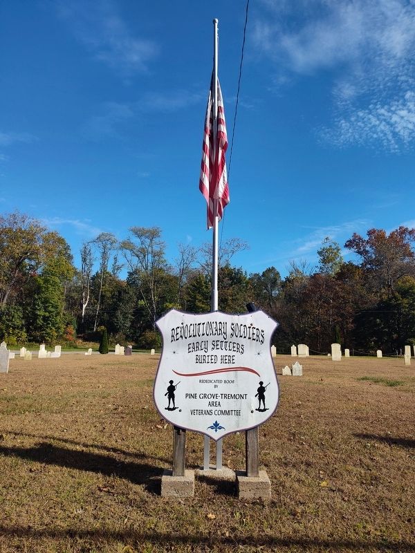
Photographed by Craig Doda, October 18, 2025
2. Revolutionary Soldiers Marker
Credits. This page was last revised on July 27, 2026. It was originally submitted on June 21, 2026, by Craig Doda of Napoleon, Ohio. This page has been viewed 19 times since then. Photos: 1, 2. submitted on June 21, 2026, by Craig Doda of Napoleon, Ohio. • Devry Becker Jones was the editor who published this page.
